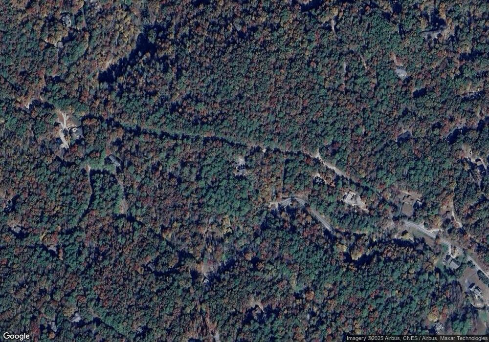
211 Covered Bridge Rd Pisgah Forest, NC 28768
Estimated Value: $741,000 - $863,798
3
Beds
3
Baths
2,333
Sq Ft
$343/Sq Ft
Est. Value
About This Home
This home is located at 211 Covered Bridge Rd, Pisgah Forest, NC 28768 and is currently estimated at $799,950, approximately $342 per square foot. 211 Covered Bridge Rd is a home with nearby schools including Bethany Christian School.
Ownership History
Date
Name
Owned For
Owner Type
Purchase Details
Closed on
Apr 19, 2018
Sold by
Macconnie Michael William and Macconnie Cindy Ann
Bought by
Macconnie Michael and Macconnie Cindy
Current Estimated Value
Purchase Details
Closed on
May 14, 2014
Sold by
Belew Leah R and Kruse Leah R
Bought by
Macconnie Michael William and Macconnie Cindy Ann
Purchase Details
Closed on
Dec 7, 2011
Sold by
Krus Paul F
Bought by
Belew Leah R and Kruse Leah R
Create a Home Valuation Report for This Property
The Home Valuation Report is an in-depth analysis detailing your home's value as well as a comparison with similar homes in the area
Home Values in the Area
Average Home Value in this Area
Purchase History
| Date | Buyer | Sale Price | Title Company |
|---|---|---|---|
| Macconnie Michael | -- | None Available | |
| Macconnie Michael William | $72,000 | None Available | |
| Belew Leah R | -- | None Available |
Source: Public Records
Tax History Compared to Growth
Tax History
| Year | Tax Paid | Tax Assessment Tax Assessment Total Assessment is a certain percentage of the fair market value that is determined by local assessors to be the total taxable value of land and additions on the property. | Land | Improvement |
|---|---|---|---|---|
| 2025 | $3,893 | $810,140 | $74,150 | $735,990 |
| 2024 | $3,211 | $487,710 | $66,010 | $421,700 |
| 2023 | $3,211 | $487,710 | $66,010 | $421,700 |
| 2022 | $3,211 | $487,710 | $66,010 | $421,700 |
| 2021 | $3,186 | $487,710 | $66,010 | $421,700 |
| 2020 | $2,909 | $417,890 | $0 | $0 |
| 2019 | $2,888 | $320,570 | $0 | $0 |
| 2018 | $1,814 | $320,570 | $0 | $0 |
| 2017 | $1,814 | $320,570 | $0 | $0 |
| 2016 | $1,764 | $320,570 | $0 | $0 |
| 2015 | $335 | $325,650 | $79,530 | $246,120 |
| 2014 | $335 | $79,530 | $79,530 | $0 |
Source: Public Records
Map
Nearby Homes
- 800 Williamson Creek Rd
- TBD Lot 6 Williamson Creek Rd
- Lot 1 & 2 Dundee Ln Unit 1 & 2
- TBD Dundee Ln Unit 6
- 50 Timberlane Cir
- 162 Southerland Rd
- 55 Valley Ln
- 142 Paisley Ln
- 412 Timberlane Dr
- 1270 Glen Cannon Dr
- 200 Valley Overlook Dr
- TBD Breezewood Cir Unit 17 & 18
- 1315 Glen Cannon Dr
- 541 Falls Creek Rd
- 64 Cherry Ridge Rd
- D17 Caroline Ln
- TBD Caroline Ln Unit 7R
- 175 Glen Cannon Point Unit 2
- 157 Glen Cannon Point Unit 3
- 164 Glen Cannon Point Unit 1
- TBD Rivendell Trace
- 611 Williamson Creek Rd
- Lot 0 Williamson Creek Rd
- 123 Covered Bridge Ln
- 605 Williamson Creek Rd
- 55 Covered Bridge Ln
- 55 Covered Bridge Ln Unit 2 and 3
- 740 Williamson Creek Rd
- 749 Williamson Creek Rd
- 652 Williamson Creek Rd
- 1000 Williamson Creek Rd
- L1A Covered Bridge Ln Unit L1A
- TBD Madeline Ln Unit 19
- TBD Madeline Ln Unit 17
- TBD Madeline Ln Unit TR-A
- 74 Dunharrow Trail
- 85 Fernwood Ln
- 132 Knob Rd
- 59 Dunharrow Trail
