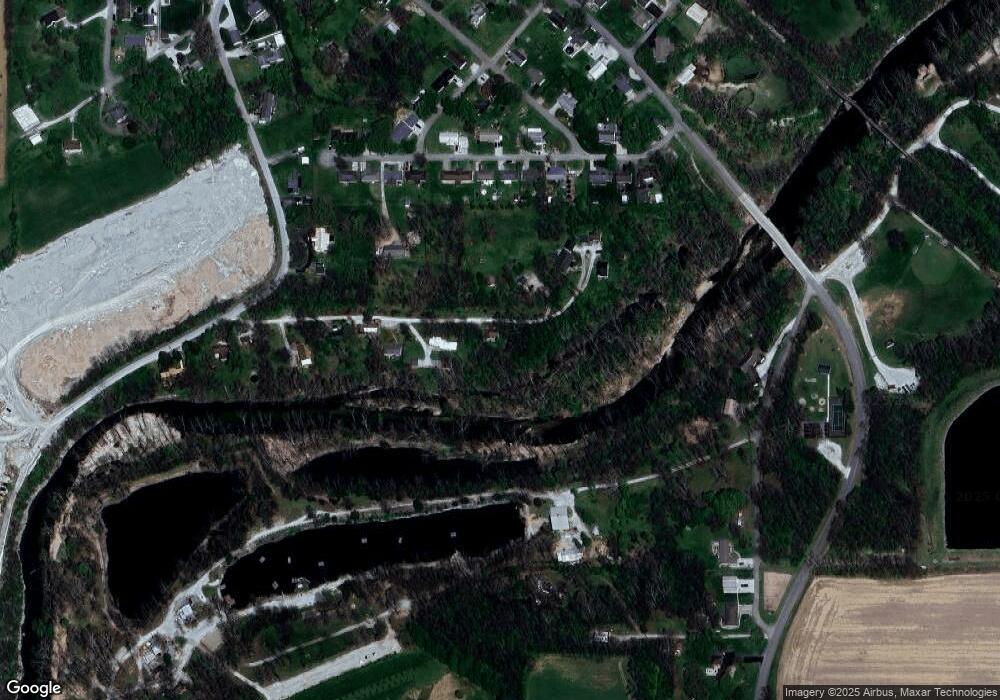
211 Crenshaw Dr Saint Paul, IN 47272
Estimated Value: $51,000 - $158,020
2
Beds
1
Bath
1,071
Sq Ft
$104/Sq Ft
Est. Value
About This Home
This home is located at 211 Crenshaw Dr, Saint Paul, IN 47272 and is currently estimated at $111,755, approximately $104 per square foot. 211 Crenshaw Dr is a home located in Decatur County with nearby schools including North Decatur Elementary School and North Decatur Junior/Senior High School.
Ownership History
Date
Name
Owned For
Owner Type
Purchase Details
Closed on
Jun 13, 2023
Sold by
Bergbauer Vera T
Bought by
Phares Val
Current Estimated Value
Purchase Details
Closed on
Jul 5, 2022
Sold by
Indeed Investments Llc
Bought by
Bergbauer Vera T
Purchase Details
Closed on
Nov 27, 2019
Sold by
Dexter Group T
Bought by
Equity T Co and Indeed Investments Llc
Purchase Details
Closed on
Feb 1, 2017
Sold by
Sg Capital Partners Llc
Bought by
Dexter Group T
Purchase Details
Closed on
Dec 8, 2015
Sold by
Harbour Portfolio Vii Lp
Bought by
Sg Capital Partners Llc
Purchase Details
Closed on
May 21, 2012
Sold by
Federal National Mortgage Association
Bought by
Harbour Portfolio Vii Lp
Purchase Details
Closed on
Mar 19, 2012
Sold by
Bank Of America
Bought by
Federal National Mortgage Association
Purchase Details
Closed on
Jan 24, 2012
Sold by
Allen Gregory D
Bought by
Bac Home Loans Servicing Lp
Create a Home Valuation Report for This Property
The Home Valuation Report is an in-depth analysis detailing your home's value as well as a comparison with similar homes in the area
Home Values in the Area
Average Home Value in this Area
Purchase History
| Date | Buyer | Sale Price | Title Company |
|---|---|---|---|
| Phares Val | -- | Security Title Services | |
| Bergbauer Vera T | $40,750 | None Listed On Document | |
| Equity T Co | $30,795 | None Available | |
| Dexter Group T | -- | -- | |
| Sg Capital Partners Llc | $28,356 | None Available | |
| Harbour Portfolio Vii Lp | $12,780 | -- | |
| Federal National Mortgage Association | -- | -- | |
| Bac Home Loans Servicing Lp | $76,109 | -- |
Source: Public Records
Tax History Compared to Growth
Tax History
| Year | Tax Paid | Tax Assessment Tax Assessment Total Assessment is a certain percentage of the fair market value that is determined by local assessors to be the total taxable value of land and additions on the property. | Land | Improvement |
|---|---|---|---|---|
| 2024 | $801 | $73,000 | $15,400 | $57,600 |
| 2023 | $771 | $63,600 | $15,400 | $48,200 |
| 2022 | $866 | $72,500 | $15,400 | $57,100 |
| 2021 | $955 | $61,300 | $14,600 | $46,700 |
| 2020 | $736 | $53,500 | $14,600 | $38,900 |
| 2019 | $769 | $55,400 | $14,600 | $40,800 |
| 2018 | $689 | $57,800 | $14,600 | $43,200 |
| 2017 | $491 | $43,700 | $12,300 | $31,400 |
| 2016 | $465 | $42,100 | $12,300 | $29,800 |
| 2014 | $441 | $41,800 | $12,300 | $29,500 |
| 2013 | $480 | $41,800 | $12,300 | $29,500 |
Source: Public Records
Map
Nearby Homes
- 308 E Franklin St
- 110 S Conger St
- 211 N County Line Rd
- 202 First St
- 504 S Main St
- 6982 E Michigan Rd
- 201 W Walnut St
- 8562 S Pleasure Valley Rd
- 8614 S Pleasure Valley Rd
- 00 N Us Highway 421
- 0 N Us Highway 421 Unit MBR21935451
- 7452 Main St
- 8396 S 250 E
- 9166 W Co Road 50 N
- 3218 S 375 E
- Tract 2: 8342 S 650 W
- Tract 1: 8342 S 650 W
- 1722 E Vandalia Rd
- 0 St 9 Rd Unit MBR21894364
- 5521 S Wilson Meadows Dr
- 201 Crenshaw Dr
- 210 Crenshaw Dr
- 113 Crenshaw Dr
- 111 Crenshaw Dr
- 214 Crenshaw Dr
- 109 Crenshaw Dr
- 215 Crenshaw Dr
- 310 E River Bend Ct
- 312 E River Bend Ct
- 308 E River Bend Ct
- 105 Crenshaw Dr
- 402 E River Bend Ct
- 404 E River Bend Ct
- 304 E River Bend Ct
- 302 E River Bend Ct
- 406 E River Bend Ct
- 208 E River Bend Ct
- 309 E River Bend Ct
- 313 E River Bend Ct
- 408 E River Bend Ct
