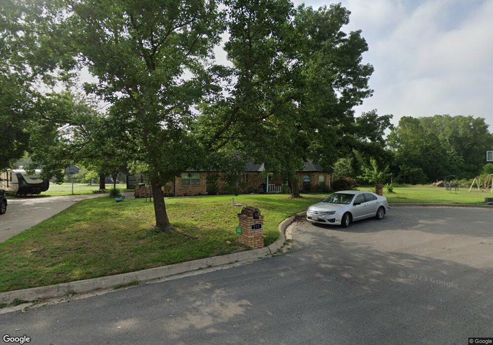
211 David St Springtown, TX 76082
4
Beds
2
Baths
2,147
Sq Ft
52,272
Sq Ft Lot
About This Home
This home is located at 211 David St, Springtown, TX 76082. 211 David St is a home located in Parker County with nearby schools including Springtown Elementary School, Springtown Intermediate School, and Springtown Middle School.
Ownership History
Date
Name
Owned For
Owner Type
Purchase Details
Closed on
Jul 27, 2016
Sold by
Haugen Edwin and Haugen Kristen C
Bought by
Amrine Jamie M and Amrine Matthew B
Home Financials for this Owner
Home Financials are based on the most recent Mortgage that was taken out on this home.
Original Mortgage
$172,000
Outstanding Balance
$137,501
Interest Rate
3.54%
Mortgage Type
New Conventional
Purchase Details
Closed on
Sep 8, 2006
Sold by
Harrell Edward and Harrell Kristina M
Bought by
Amrine Jamie M and Amrine Matthew B
Purchase Details
Closed on
Jul 25, 2002
Sold by
Lohman James M and Lohman Julie L
Bought by
Amrine Jamie M and Amrine Matthew B
Purchase Details
Closed on
Apr 27, 1987
Bought by
Amrine Jamie M and Amrine Matthew B
Create a Home Valuation Report for This Property
The Home Valuation Report is an in-depth analysis detailing your home's value as well as a comparison with similar homes in the area
Home Values in the Area
Average Home Value in this Area
Purchase History
| Date | Buyer | Sale Price | Title Company |
|---|---|---|---|
| Amrine Jamie M | -- | None Available | |
| Amrine Jamie M | -- | -- | |
| Haugen Edwin | -- | None Available | |
| Amrine Jamie M | -- | -- | |
| Amrine Jamie M | -- | -- |
Source: Public Records
Mortgage History
| Date | Status | Borrower | Loan Amount |
|---|---|---|---|
| Open | Amrine Jamie M | $172,000 |
Source: Public Records
Tax History
| Year | Tax Paid | Tax Assessment Tax Assessment Total Assessment is a certain percentage of the fair market value that is determined by local assessors to be the total taxable value of land and additions on the property. | Land | Improvement |
|---|---|---|---|---|
| 2020 | -- | $229,450 | $40,000 | $189,450 |
| 2019 | -- | $229,450 | $40,000 | $189,450 |
| 2018 | -- | $195,160 | $30,000 | $165,160 |
| 2017 | -- | $195,160 | $30,000 | $165,160 |
| 2016 | -- | $178,010 | $23,000 | $155,010 |
| 2015 | -- | $178,010 | $23,000 | $155,010 |
| 2014 | -- | $150,400 | $23,000 | $127,400 |
Source: Public Records
Map
Nearby Homes
- 325 Huggins Dr
- 345 Huggins Dr
- 000 Farm To Market 51
- 440 S Main St
- TBD S Ash St
- 3020 Westfork Way
- 3000 Westfork Way
- 3021 Westfork Way
- 625 E Highway 199
- 311 S Spring Branch Trail
- 208 Optimist Rd
- 1113 Gonzollas Rd
- 521 Bronze Cir E
- 209 E 1st St
- 1012 Morgan Ct
- 1009 Morgan Ct
- 325 Skeen Peak
- 400 Mcalpine
- 1017 Morgan Ct
- 1004 Morgan Ct
Your Personal Tour Guide
Ask me questions while you tour the home.