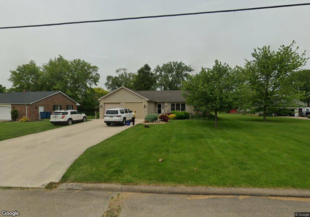
211 E 11th St Port Clinton, OH 43452
Estimated Value: $390,000 - $448,000
3
Beds
2
Baths
2,565
Sq Ft
$159/Sq Ft
Est. Value
About This Home
This home is located at 211 E 11th St, Port Clinton, OH 43452 and is currently estimated at $408,251, approximately $159 per square foot. 211 E 11th St is a home located in Ottawa County with nearby schools including Bataan Memorial Primary School, Bataan Memorial Intermediate School, and Port Clinton Middle School.
Ownership History
Date
Name
Owned For
Owner Type
Purchase Details
Closed on
Aug 20, 2004
Sold by
Gottron Paul
Bought by
Trent Dale D and Trent Kimberlee K
Current Estimated Value
Home Financials for this Owner
Home Financials are based on the most recent Mortgage that was taken out on this home.
Original Mortgage
$250,000
Outstanding Balance
$124,630
Interest Rate
6.08%
Mortgage Type
Construction
Estimated Equity
$283,621
Purchase Details
Closed on
Jan 30, 2004
Sold by
Walls Robert T and Walls Katherine J
Bought by
Gottron Paul
Home Financials for this Owner
Home Financials are based on the most recent Mortgage that was taken out on this home.
Original Mortgage
$103,500
Interest Rate
5.91%
Mortgage Type
Construction
Purchase Details
Closed on
May 27, 1992
Sold by
Walls Robert and Walls Eileen
Bought by
Walls Robert T and Walls Katherine J
Create a Home Valuation Report for This Property
The Home Valuation Report is an in-depth analysis detailing your home's value as well as a comparison with similar homes in the area
Home Values in the Area
Average Home Value in this Area
Purchase History
| Date | Buyer | Sale Price | Title Company |
|---|---|---|---|
| Trent Dale D | $260,000 | -- | |
| Gottron Paul | $35,000 | -- | |
| Walls Robert T | $8,000 | -- |
Source: Public Records
Mortgage History
| Date | Status | Borrower | Loan Amount |
|---|---|---|---|
| Open | Trent Dale D | $250,000 | |
| Previous Owner | Gottron Paul | $103,500 |
Source: Public Records
Tax History Compared to Growth
Tax History
| Year | Tax Paid | Tax Assessment Tax Assessment Total Assessment is a certain percentage of the fair market value that is determined by local assessors to be the total taxable value of land and additions on the property. | Land | Improvement |
|---|---|---|---|---|
| 2024 | $4,212 | $121,559 | $15,670 | $105,889 |
| 2023 | $4,212 | $95,974 | $10,441 | $85,533 |
| 2022 | $3,722 | $95,974 | $10,441 | $85,533 |
| 2021 | $3,718 | $95,970 | $10,440 | $85,530 |
| 2020 | $3,061 | $82,730 | $8,350 | $74,380 |
| 2019 | $3,029 | $82,730 | $8,350 | $74,380 |
| 2018 | $3,024 | $82,730 | $8,350 | $74,380 |
| 2017 | $2,940 | $79,140 | $8,350 | $70,790 |
| 2016 | $2,946 | $79,140 | $8,350 | $70,790 |
| 2015 | $2,957 | $79,140 | $8,350 | $70,790 |
| 2014 | $2,982 | $79,140 | $8,350 | $70,790 |
| 2013 | $2,989 | $79,140 | $8,350 | $70,790 |
Source: Public Records
Map
Nearby Homes
- 123 E 10th St
- 111 E 10th St
- 900 S Madison St
- 516 Jefferson St
- 807 Harrison St
- 118 E 5th St
- 2593 N Peachtree Lane # Sublot 2
- 424 Monroe St
- 423 Fulton St
- 229 W 4th St
- 611 Alice St
- 2621 N Peachtree Lane # Sublot 1
- 2453 N Peachtree Lane # Sublot 7
- 2481 N Peachtree Lane # Sublot 6
- 2565 N Peachtree Lane # Sublot 3
- 0 Mouse Island Unit 20252634
- 2369 N Peachtree Lane # Sublot 10
- 2397 N Peachtree Lane # Sublot 9
- 2509 N Peachtree Lane # Sublot 5
- 0 Mouse Island Unit 5139279