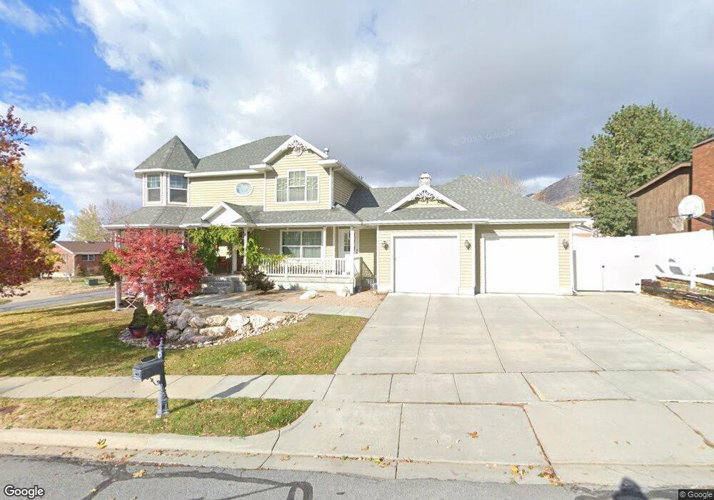
211 E 700 N Centerville, UT 84014
Estimated Value: $609,000 - $712,000
5
Beds
2
Baths
2,268
Sq Ft
$291/Sq Ft
Est. Value
About This Home
This home is located at 211 E 700 N, Centerville, UT 84014 and is currently estimated at $660,224, approximately $291 per square foot. 211 E 700 N is a home located in Davis County with nearby schools including Centerville Elementary, Centerville Jr High, and Viewmont High School.
Ownership History
Date
Name
Owned For
Owner Type
Purchase Details
Closed on
Jan 18, 2000
Sold by
Anderson Jerry Edward and Anderson Charlene O
Bought by
Pack Martin P and Pack Kazumi K
Current Estimated Value
Home Financials for this Owner
Home Financials are based on the most recent Mortgage that was taken out on this home.
Original Mortgage
$87,000
Outstanding Balance
$27,975
Interest Rate
8%
Estimated Equity
$632,249
Create a Home Valuation Report for This Property
The Home Valuation Report is an in-depth analysis detailing your home's value as well as a comparison with similar homes in the area
Purchase History
| Date | Buyer | Sale Price | Title Company |
|---|---|---|---|
| Pack Martin P | -- | Us Title |
Source: Public Records
Mortgage History
| Date | Status | Borrower | Loan Amount |
|---|---|---|---|
| Open | Pack Martin P | $87,000 |
Source: Public Records
Tax History
| Year | Tax Paid | Tax Assessment Tax Assessment Total Assessment is a certain percentage of the fair market value that is determined by local assessors to be the total taxable value of land and additions on the property. | Land | Improvement |
|---|---|---|---|---|
| 2025 | $3,904 | $373,450 | $155,735 | $217,715 |
| 2024 | $3,890 | $378,400 | $140,110 | $238,290 |
| 2023 | $3,851 | $677,000 | $229,653 | $447,347 |
| 2022 | $4,034 | $390,500 | $115,997 | $274,503 |
| 2021 | $3,561 | $537,000 | $177,186 | $359,814 |
| 2020 | $3,071 | $463,000 | $173,014 | $289,986 |
| 2019 | $3,097 | $456,000 | $173,276 | $282,724 |
| 2018 | $2,949 | $429,000 | $160,776 | $268,224 |
| 2016 | $2,557 | $206,690 | $53,995 | $152,695 |
| 2015 | $2,520 | $192,225 | $53,995 | $138,230 |
| 2014 | $2,297 | $179,263 | $53,995 | $125,268 |
| 2013 | -- | $189,197 | $41,993 | $147,204 |
Source: Public Records
Map
Nearby Homes
- 295 E 500 N
- 871 Poplar Cir
- 22 Creekside Ln
- 67 W Pheasantbrook Dr
- 775 Pheasantbrook Cir
- 380 E 400 N
- 833 N Lakeside Ln
- 147 W 925 N
- 282 W 605 N Unit I
- 281 W 650 N Unit B
- 252 N 400 E
- 292 W 680 N
- 303 W 650 N Unit I
- 56 W 200 N
- 751 Pheasantbrook Dr
- 763 Pheasantbrook Dr
- 781 Pheasantbrook Dr
- 271 Brookfield Ln
- 360 E Center St
- 493 W 620 N Unit 122
- 736 Cherrywood Cir
- 249 E 700 N
- 228 E 700 N
- 183 E 700 N
- 743 Cherrywood Cir
- 208 E 700 N
- 248 E 700 N
- 267 E 700 N
- 768 Cherrywood Cir
- 192 E 700 N
- 759 Cherrywood Cir
- 782 Cherrywood Cir
- 687 Linda Loma Dr
- 155 E 700 N
- 182 E 700 N
- 742 Bonita Way
- 777 Cherrywood Cir
- 659 Linda Loma Dr
- 770 Bonita Way
- 215 London Rd
Your Personal Tour Guide
Ask me questions while you tour the home.