211 E Franklin St Dillon, MT 59725
Estimated Value: $273,000 - $405,000
About This Home
This home is located at 211 E Franklin St, Dillon, MT 59725 and is currently estimated at $319,296, approximately $195 per square foot. 211 E Franklin St is a home located in Beaverhead County with nearby schools including Parkview School, Dillon Middle School, and Beaverhead County High School.
Ownership History
We collect this data history from publicly available records. To have your information removed, we recommend requesting removal directly through your county’s website.
Purchase Details
Home Financials for this Owner
Home Financials are based on the most recent Mortgage that was taken out on this home.Purchase Details
Home Financials for this Owner
Home Financials are based on the most recent Mortgage that was taken out on this home.Home Values in the Area
Average Home Value in this Area
Purchase History
We collect this data history from publicly available records. To have your information removed, we recommend requesting removal directly through your county’s website.
| Date | Buyer | Sale Price | Title Company |
|---|---|---|---|
| -- | First American Title Company | ||
| -- | None Available |
Mortgage History
We collect this data history from publicly available records. To have your information removed, we recommend requesting removal directly through your county’s website.
| Date | Status | Borrower | Loan Amount |
|---|---|---|---|
| Open | $131,350 | ||
| Previous Owner | $80,000 |
Tax History
We collect this data history from publicly available records. To have your information removed, we recommend requesting removal directly through your county’s website.
| Year | Tax Paid | Tax Assessment Tax Assessment Total Assessment is a certain percentage of the fair market value that is determined by local assessors to be the total taxable value of land and additions on the property. | Land | Improvement |
|---|---|---|---|---|
| 2025 | $1,366 | $220,788 | $0 | $0 |
| 2024 | $2,495 | $274,400 | $0 | $0 |
| 2023 | $2,473 | $274,400 | $0 | $0 |
| 2022 | $2,315 | $206,600 | $0 | $0 |
| 2021 | $2,177 | $206,600 | $0 | $0 |
| 2020 | $1,956 | $157,600 | $0 | $0 |
| 2019 | $1,909 | $157,600 | $0 | $0 |
| 2018 | $1,734 | $136,900 | $0 | $0 |
| 2017 | -- | $136,900 | $0 | $0 |
| 2016 | $1,467 | $127,600 | $0 | $0 |
| 2015 | -- | $127,600 | $0 | $0 |
| 2014 | -- | $68,671 | $0 | $0 |
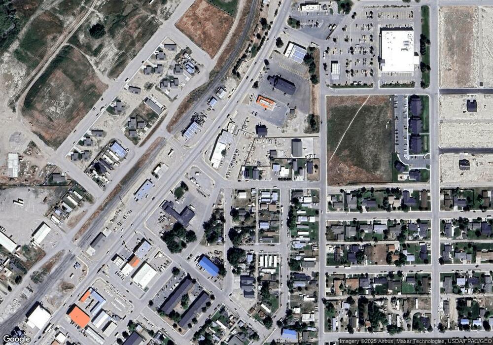
Map
- 619 N Railroad St
- 804 N Rife St
- 315 N Washington St
- 343 N Montana St
- 331 N Walnut St
- 43 Tobacco Root Rd
- 29 Tobacco Root Rd
- 426 N Chestnut St
- 135 Thomas Way
- 652 Kentucky Ave
- 35 E Bannack St
- 111 Skihi St
- 23 Sunrise St
- 102 Legget Ave
- 730 Kentucky Ave Unit 5
- 31 N Dakota St
- 38 N Walnut St
- 30 N Walnut St
- 25 S California St
- 625 E Glendale St
- 217 E Franklin St
- TBD Franklin St
- 636 N Washington St
- 708 Franklin St
- 708 N Pacific St
- 611 N Pacific St
- 613 N Pacific St
- 317 E Franklin St
- 632 N Washington St
- TBD N Washington St
- 630 N Washington St
- 611 N Washington St
- 609 N Pacific St
- 301 E Franklin St
- 607 N Pacific St
- 638 N Pacific St
- 720 N Pacific St
- 604 N Washington St
- 304 E Franklin St
- 315 E Franklin St
Ask me questions while you tour the home.