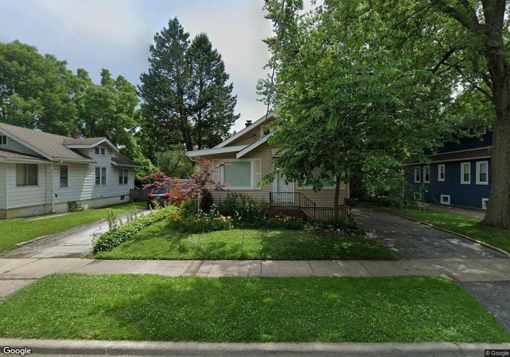
211 E Keith Ave Waukegan, IL 60085
Estimated Value: $183,000 - $226,000
2
Beds
1
Bath
1,032
Sq Ft
$202/Sq Ft
Est. Value
About This Home
This home is located at 211 E Keith Ave, Waukegan, IL 60085 and is currently estimated at $208,415, approximately $201 per square foot. 211 E Keith Ave is a home located in Lake County with nearby schools including Greenwood Elementary School, Edith M Smith Middle School, and Waukegan High School.
Ownership History
Date
Name
Owned For
Owner Type
Purchase Details
Closed on
Mar 16, 1994
Sold by
Wesner Dennis C and Wesner Linda L
Bought by
Enriquez Atanacio M
Current Estimated Value
Home Financials for this Owner
Home Financials are based on the most recent Mortgage that was taken out on this home.
Original Mortgage
$62,000
Interest Rate
7.02%
Create a Home Valuation Report for This Property
The Home Valuation Report is an in-depth analysis detailing your home's value as well as a comparison with similar homes in the area
Purchase History
| Date | Buyer | Sale Price | Title Company |
|---|---|---|---|
| Enriquez Atanacio M | $44,666 | Chicago Title Insurance Co |
Source: Public Records
Mortgage History
| Date | Status | Borrower | Loan Amount |
|---|---|---|---|
| Closed | Enriquez Atanacio M | $62,000 |
Source: Public Records
Tax History
| Year | Tax Paid | Tax Assessment Tax Assessment Total Assessment is a certain percentage of the fair market value that is determined by local assessors to be the total taxable value of land and additions on the property. | Land | Improvement |
|---|---|---|---|---|
| 2024 | $3,400 | $49,658 | $9,968 | $39,690 |
| 2023 | $2,853 | $44,058 | $8,844 | $35,214 |
| 2022 | $2,853 | $35,181 | $6,870 | $28,311 |
| 2021 | $2,528 | $30,249 | $5,910 | $24,339 |
| 2020 | $2,514 | $28,181 | $5,506 | $22,675 |
| 2019 | $2,478 | $25,823 | $5,045 | $20,778 |
| 2018 | $2,232 | $22,813 | $7,140 | $15,673 |
| 2017 | $2,018 | $20,183 | $6,317 | $13,866 |
| 2016 | $1,783 | $17,538 | $5,489 | $12,049 |
| 2015 | $1,638 | $15,697 | $4,913 | $10,784 |
| 2014 | $2,192 | $18,494 | $5,111 | $13,383 |
| 2012 | $2,937 | $20,037 | $5,538 | $14,499 |
Source: Public Records
Map
Nearby Homes
- 308 W Greenwood Ave
- 1525 North Ave
- 722 W Keith Ave
- 1126 N Ash St
- 1810 N Jackson St
- 1832 N Jackson St
- 1318 N Jackson St
- 86 Mariposa Ave
- 634 W Ridgeland Ave
- 1810 Linden Ave
- 918 N Ash St
- 1020 Woodlawn Ave
- 705 Massena Ave
- 1105 Woodlawn Cir
- 728 N Ash St
- 1000 Massena Ave
- 214 Franklin St
- 1504 W Glen Flora Ave
- 520 N County St
- 702 Franklin St
- 215 E Keith Ave
- 205 E Keith Ave
- 1608 Terrace Ave
- 217 E Keith Ave
- 203 E Keith Ave
- 221 E Keith Ave
- 208 Harding Ave
- 200 Harding Ave
- 216 E Keith Ave
- 208 E Keith Ave
- 212 Harding Ave
- 131 E Keith Ave
- 218 E Keith Ave
- 204 E Keith Ave
- 1609 N Sheridan Rd
- 220 E Keith Ave
- 130 Harding Ave
- 216 Harding Ave
- 202 E Keith Ave
Your Personal Tour Guide
Ask me questions while you tour the home.