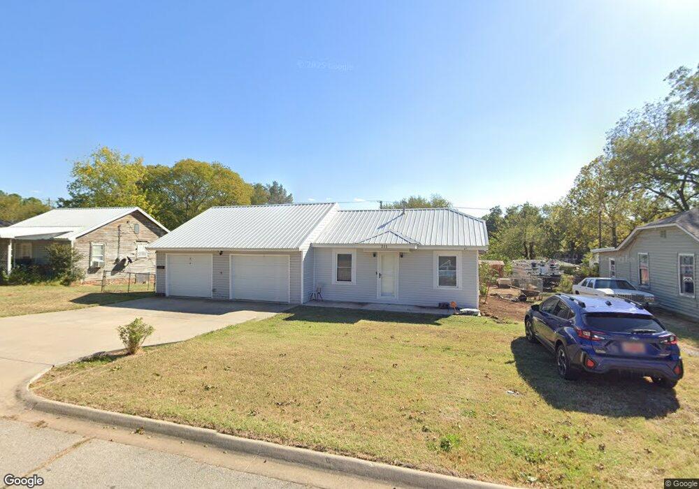
211 E Severn St Shawnee, OK 74801
Estimated Value: $86,000 - $127,000
3
Beds
2
Baths
1,225
Sq Ft
$86/Sq Ft
Est. Value
About This Home
This home is located at 211 E Severn St, Shawnee, OK 74801 and is currently estimated at $104,979, approximately $85 per square foot. 211 E Severn St is a home located in Pottawatomie County with nearby schools including Sequoyah Elementary School, Shawnee Middle School, and Shawnee High School.
Ownership History
Date
Name
Owned For
Owner Type
Purchase Details
Closed on
Jun 1, 2022
Sold by
Ray Lapach Fred and Lynn Tammy
Bought by
Fred Ray Lapach And Tammy Lynn Lapach 2022 Re
Current Estimated Value
Purchase Details
Closed on
May 23, 1997
Sold by
Rounds Rick
Bought by
Rounds Tammy
Purchase Details
Closed on
Dec 7, 1995
Sold by
Adams Faye and Adams James
Bought by
Rounds Tammy and Rounds Rick
Purchase Details
Closed on
Sep 30, 1994
Sold by
Sager Arthur
Bought by
Adams Faye and Adams
Create a Home Valuation Report for This Property
The Home Valuation Report is an in-depth analysis detailing your home's value as well as a comparison with similar homes in the area
Purchase History
| Date | Buyer | Sale Price | Title Company |
|---|---|---|---|
| Fred Ray Lapach And Tammy Lynn Lapach 2022 Re | -- | None Listed On Document | |
| Rounds Tammy | -- | -- | |
| Rounds Tammy | $15,000 | -- | |
| Adams Faye | -- | -- |
Source: Public Records
Tax History
| Year | Tax Paid | Tax Assessment Tax Assessment Total Assessment is a certain percentage of the fair market value that is determined by local assessors to be the total taxable value of land and additions on the property. | Land | Improvement |
|---|---|---|---|---|
| 2025 | $395 | $4,980 | $758 | $4,222 |
| 2024 | $386 | $4,835 | $736 | $4,099 |
| 2023 | $386 | $4,694 | $718 | $3,976 |
| 2022 | $365 | $4,558 | $695 | $3,863 |
| 2021 | $345 | $4,557 | $692 | $3,865 |
| 2020 | $333 | $4,296 | $653 | $3,643 |
| 2019 | $331 | $4,171 | $634 | $3,537 |
| 2018 | $312 | $4,050 | $629 | $3,421 |
| 2017 | $296 | $3,931 | $610 | $3,321 |
| 2016 | $287 | $3,817 | $650 | $3,167 |
| 2015 | $271 | $3,707 | $632 | $3,075 |
| 2014 | $260 | $3,598 | $613 | $2,985 |
Source: Public Records
Map
Nearby Homes
- 0 Independence and Minnesota St
- 1102 N Park Ave
- 1510 N Union Ave
- 1539 N Pennsylvania Ave
- 1108 N Pennsylvania Ave
- 1607 N Beard Ave
- 210 E Cammack
- 1416 N Mckinley Ave
- 1712 N Pennsylvania Ave
- 1816 N Bell Ave
- 1822 N Philadelphia Ave
- 434 E Wallace St
- 1324 N Park Ave
- 508 E Wallace St
- 1432 N Park Ave
- 114 E Wallace St
- 1901 N Bell Ave
- 1919 N Union Ave
- 1115 N Tucker Ave
- 1928 N Broadway Ave
- 209 E Severn St
- 215 E Severn St
- 207 E Severn St
- 217 E Severn St
- 21 E Park Dr
- 219 E Severn St
- 19 E Park Dr
- 8 E Morgan St
- 4 E Morgan St
- 210 E Severn St
- 221 E Severn St
- 1327 N Union Ave
- 1325 N Union Ave
- 208 E Severn St
- 17 E Park Dr
- 214 E Severn St
- 206 E Severn St
- 218 E Severn St
- 1303 N Union Ave
- 225 E Severn St