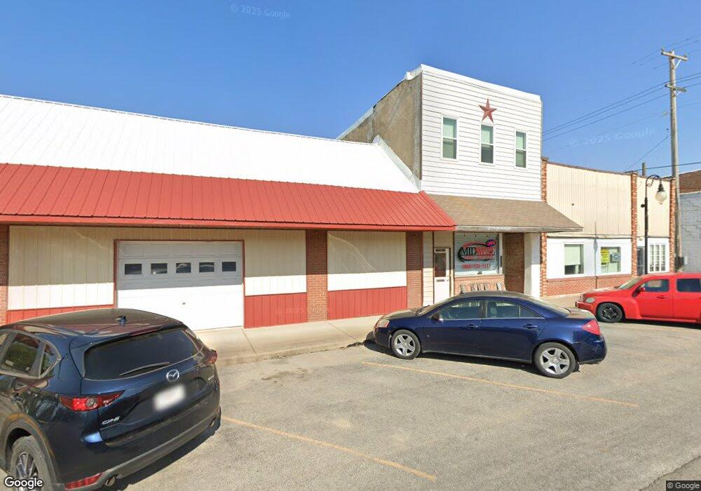
211 E Walls Sturgeon, MO 65284
Estimated Value: $160,000 - $202,000
2
Beds
1
Bath
1,300
Sq Ft
$135/Sq Ft
Est. Value
About This Home
This home is located at 211 E Walls, Sturgeon, MO 65284 and is currently estimated at $175,647, approximately $135 per square foot. 211 E Walls is a home located in Boone County with nearby schools including Sturgeon Elementary School, Sturgeon Middle School, and Sturgeon High School.
Ownership History
Date
Name
Owned For
Owner Type
Purchase Details
Closed on
Apr 26, 2021
Sold by
Miller Ursula and Miller Russell
Bought by
Rippel Andrew
Current Estimated Value
Home Financials for this Owner
Home Financials are based on the most recent Mortgage that was taken out on this home.
Original Mortgage
$121,250
Outstanding Balance
$109,797
Interest Rate
3.05%
Mortgage Type
New Conventional
Estimated Equity
$65,850
Purchase Details
Closed on
Nov 29, 2006
Sold by
Johannsen Albert W and Johannsen Mary E
Bought by
Gartman Ursula
Home Financials for this Owner
Home Financials are based on the most recent Mortgage that was taken out on this home.
Original Mortgage
$74,000
Interest Rate
6.37%
Mortgage Type
New Conventional
Create a Home Valuation Report for This Property
The Home Valuation Report is an in-depth analysis detailing your home's value as well as a comparison with similar homes in the area
Purchase History
| Date | Buyer | Sale Price | Title Company |
|---|---|---|---|
| Rippel Andrew | -- | None Available | |
| Gartman Ursula | -- | None Available |
Source: Public Records
Mortgage History
| Date | Status | Borrower | Loan Amount |
|---|---|---|---|
| Open | Rippel Andrew | $121,250 | |
| Previous Owner | Gartman Ursula | $74,000 |
Source: Public Records
Tax History
| Year | Tax Paid | Tax Assessment Tax Assessment Total Assessment is a certain percentage of the fair market value that is determined by local assessors to be the total taxable value of land and additions on the property. | Land | Improvement |
|---|---|---|---|---|
| 2025 | $689 | $9,633 | $1,957 | $7,676 |
| 2024 | $611 | $8,417 | $1,957 | $6,460 |
| 2023 | $600 | $8,417 | $1,957 | $6,460 |
| 2022 | $556 | $7,790 | $1,957 | $5,833 |
| 2021 | $549 | $7,790 | $1,957 | $5,833 |
| 2020 | $512 | $7,212 | $1,957 | $5,255 |
| 2019 | $510 | $7,212 | $1,957 | $5,255 |
| 2018 | $475 | $0 | $0 | $0 |
| 2017 | $475 | $6,678 | $1,957 | $4,721 |
| 2016 | $475 | $6,678 | $1,957 | $4,721 |
| 2015 | $480 | $6,678 | $1,957 | $4,721 |
| 2014 | $478 | $6,678 | $1,957 | $4,721 |
Source: Public Records
Map
Nearby Homes
- 109 N Ogden St
- 408 N Ogden St
- LOTS 1-4 E Burks St
- 203 E Proctor St
- Lot 1-4 E Burks St
- 202 W Canada St
- 0 Lot 14 Bailey Place Unit 431218
- 0 Lot 13 Bailey Place Unit 431217
- 0 Lot 34 Bailey Place Unit 431241
- 101 W Francis St
- 0 Lot 28 Bailey Place Unit 431235
- 0 Lot 25 Bailey Place Unit 431231
- 0 Lot 26 Bailey Place Unit 431233
- 407 W Francis St
- 301 W Francis St
- 0 Lot 29 Bailey Place Unit 431236
- 0 Lot 41 Bailey Place Unit 431697
- 0 Lot 39 Bailey Place Unit 431658
- 0 Lot 8 Bailey Place Unit 431226
- 0 Lot 27 Bailey Place Unit 431234
- 211 E Wall St
- 215 E Wall St
- 212 E Smith St
- 208-210 E Smith St
- Lot 2 E Wall St
- 109 N Rochford St
- 110 N Ruby St
- 208 E Smith St
- 0 E Smith St
- E E Smith St
- 303 E Wall St
- 203 E Smith St
- 207 E Smith St
- 208 E Davis St
- 101 S Rochford St
- 206 E Davis St
- 204 E Davis St
- 201 E Smith St
- 201 E Smith St
- 200 E Davis St
Your Personal Tour Guide
Ask me questions while you tour the home.