Estimated Value: $335,000 - $442,922
3
Beds
2
Baths
1,440
Sq Ft
$275/Sq Ft
Est. Value
About This Home
This home is located at 211 Everett Rd, Barre, MA 01005 and is currently estimated at $395,307, approximately $274 per square foot. 211 Everett Rd is a home located in Worcester County with nearby schools including Quabbin Regional Middle School and Quabbin Regional High School.
Ownership History
Date
Name
Owned For
Owner Type
Purchase Details
Closed on
Aug 27, 2024
Sold by
Wells Shad D
Bought by
Wells Shad D and Wells April L
Current Estimated Value
Purchase Details
Closed on
Jul 8, 2022
Sold by
Wells Kurt R and Wells Shad D
Bought by
Wells Shad D
Purchase Details
Closed on
Sep 25, 2017
Sold by
Wells Kurt R
Bought by
Wells Kurt R and Wells Shad D
Purchase Details
Closed on
Nov 22, 2010
Sold by
Wells Kurt R and Wells Shad D
Bought by
Wells Kurt R
Purchase Details
Closed on
May 25, 2006
Sold by
Wells Kurt R
Bought by
Wells Kurt R and Wells Shad
Purchase Details
Closed on
Sep 20, 2002
Sold by
Stevens Richard H and Wells Kurt R
Bought by
Laboffa Bruce
Create a Home Valuation Report for This Property
The Home Valuation Report is an in-depth analysis detailing your home's value as well as a comparison with similar homes in the area
Home Values in the Area
Average Home Value in this Area
Purchase History
| Date | Buyer | Sale Price | Title Company |
|---|---|---|---|
| Wells Shad D | -- | None Available | |
| Wells Shad D | -- | None Available | |
| Wells Shad D | -- | None Available | |
| Wells Shad D | -- | None Available | |
| Wells Shad D | -- | None Available | |
| Wells Shad D | -- | None Available | |
| Wells Kurt R | -- | -- | |
| Wells Kurt R | -- | -- | |
| Wells Kurt R | -- | -- | |
| Wells Kurt R | -- | -- | |
| Wells Kurt R | -- | -- | |
| Wells Kurt R | -- | -- | |
| Wells Kurt R | -- | -- | |
| Laboffa Bruce | $20,000 | -- | |
| Laboffa Bruce | $20,000 | -- |
Source: Public Records
Tax History
| Year | Tax Paid | Tax Assessment Tax Assessment Total Assessment is a certain percentage of the fair market value that is determined by local assessors to be the total taxable value of land and additions on the property. | Land | Improvement |
|---|---|---|---|---|
| 2025 | $4,789 | $352,360 | $75,860 | $276,500 |
| 2024 | $4,789 | $342,550 | $71,150 | $271,400 |
| 2023 | $4,090 | $257,850 | $58,050 | $199,800 |
| 2022 | $4,242 | $251,925 | $50,825 | $201,100 |
| 2021 | $4,395 | $244,180 | $49,780 | $194,400 |
| 2020 | $2,853 | $159,680 | $49,780 | $109,900 |
| 2019 | $2,853 | $157,460 | $46,260 | $111,200 |
| 2018 | $2,850 | $151,600 | $46,700 | $104,900 |
| 2017 | $2,737 | $146,375 | $47,875 | $98,500 |
| 2016 | $2,487 | $139,740 | $42,040 | $97,700 |
| 2015 | $2,633 | $141,240 | $49,040 | $92,200 |
| 2014 | $2,326 | $144,840 | $55,840 | $89,000 |
Source: Public Records
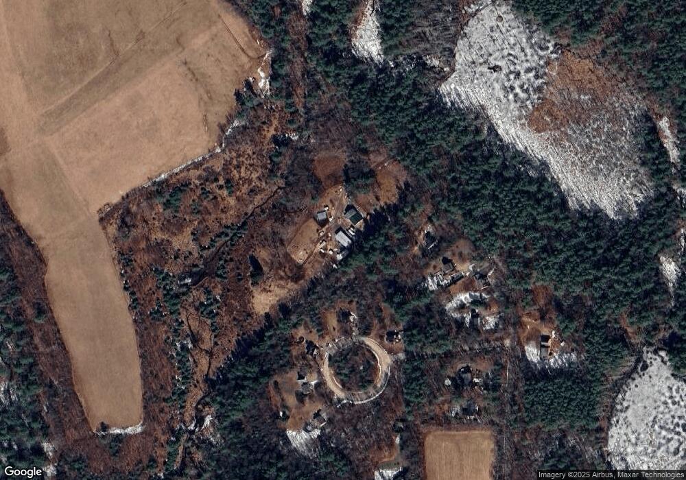
Map
Nearby Homes
- 179 Everett Rd
- 68 Deer Run Cir
- 155 Everett Rd
- 46 Deer Run Cir
- 80 Deer Run Cir
- 145 Everett Rd
- 123 Everett Rd
- 90 Deer Run Cir
- 99 Everett Rd
- 102 Deer Run Cir
- 118 Everett Rd
- 45 Deer Run Cir
- 621 Hubbardston Rd Unit 649
- 727 Hubbardston Rd
- 565 Hubbardston Rd
- 565 Hubbardston Rd Unit 1
- 590 Sunrise Ave
- 600 Sunrise Ave
- 738 Hubbardston Rd
- 765 Hubbardston Rd
Your Personal Tour Guide
Ask me questions while you tour the home.