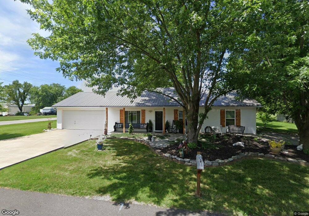
211 Fields St Unit 1 Goodman, MO 64843
Estimated Value: $173,000 - $203,000
3
Beds
2
Baths
1,364
Sq Ft
$134/Sq Ft
Est. Value
About This Home
This home is located at 211 Fields St Unit 1, Goodman, MO 64843 and is currently estimated at $182,568, approximately $133 per square foot. 211 Fields St Unit 1 is a home located in McDonald County with nearby schools including Neosho High School.
Ownership History
Date
Name
Owned For
Owner Type
Purchase Details
Closed on
Aug 2, 2023
Sold by
Foust Roy Thomas and Foust Sherry Sue
Bought by
Ff Ark Property Llc
Current Estimated Value
Purchase Details
Closed on
Aug 24, 2018
Sold by
Foust Roy and Foust Sherry
Bought by
Foust Roy and Foust Sherry
Home Financials for this Owner
Home Financials are based on the most recent Mortgage that was taken out on this home.
Original Mortgage
$92,000
Interest Rate
4.5%
Mortgage Type
New Conventional
Purchase Details
Closed on
May 6, 2014
Sold by
Anderson Loui E
Bought by
Foust Roy and Foust Sue
Home Financials for this Owner
Home Financials are based on the most recent Mortgage that was taken out on this home.
Original Mortgage
$72,959
Interest Rate
4.43%
Mortgage Type
New Conventional
Create a Home Valuation Report for This Property
The Home Valuation Report is an in-depth analysis detailing your home's value as well as a comparison with similar homes in the area
Purchase History
| Date | Buyer | Sale Price | Title Company |
|---|---|---|---|
| Ff Ark Property Llc | -- | None Listed On Document | |
| Foust Roy | -- | None Available | |
| Foust Roy | -- | None Available |
Source: Public Records
Mortgage History
| Date | Status | Borrower | Loan Amount |
|---|---|---|---|
| Previous Owner | Foust Roy | $92,000 | |
| Previous Owner | Foust Roy | $72,959 |
Source: Public Records
Tax History
| Year | Tax Paid | Tax Assessment Tax Assessment Total Assessment is a certain percentage of the fair market value that is determined by local assessors to be the total taxable value of land and additions on the property. | Land | Improvement |
|---|---|---|---|---|
| 2025 | $676 | $16,050 | $0 | $0 |
| 2024 | $676 | $14,800 | $0 | $0 |
| 2023 | $674 | $14,800 | $0 | $0 |
| 2022 | $675 | $14,800 | $0 | $0 |
| 2021 | $673 | $14,800 | $0 | $0 |
| 2020 | $607 | $13,010 | $0 | $0 |
| 2019 | $547 | $13,010 | $0 | $0 |
| 2018 | $542 | $12,870 | $0 | $0 |
| 2017 | $542 | $12,870 | $0 | $0 |
| 2016 | $542 | $12,870 | $0 | $0 |
| 2015 | -- | $12,870 | $0 | $0 |
| 2014 | -- | $12,870 | $0 | $0 |
Source: Public Records
Map
Nearby Homes
- 117 N Janice St
- 222 W Maverick St
- 231 Fair Rd
- TBD N School St
- 106 E Ann St
- 117 E Russell St
- 242 Fair Rd
- 000 E Garner St
- 769 S Ozark Trail
- 233 Fair Rd
- 1546 S School St
- 15+/- Acres Jaguar Rd
- Lots 7-9 Raptor Ln
- 42+/- Acres Hwy 59
- 179 Raptor Ln
- Lot 4-6 Lightning Bug Ln
- Lot 5 Lightning Bug Ln
- Lot 6 Lightning Bug Ln
- Lot 4 Lightning Bug Ln
- 0 Tbd Lightning Bug Ln
- 211 Fields St
- 209 Fields St
- 210 W Fields St
- 210 W Fields Ave
- Rt 2 Box 211a
- 126 N Janice St
- 112 N Janice St
- 112 N Janice St
- 132 N Janice St
- 106 N Janice St
- 112 N Roy Hill Blvd
- 105 N Janice St
- 135 N Janice St
- 121 N Roy Hill Blvd
- 121 N Roy Hill Blvd
- 134 N Janice St
- 208 W Pinto St
- 214 W Pinto St
- 206 W Pinto St
- 200 W Barlow St