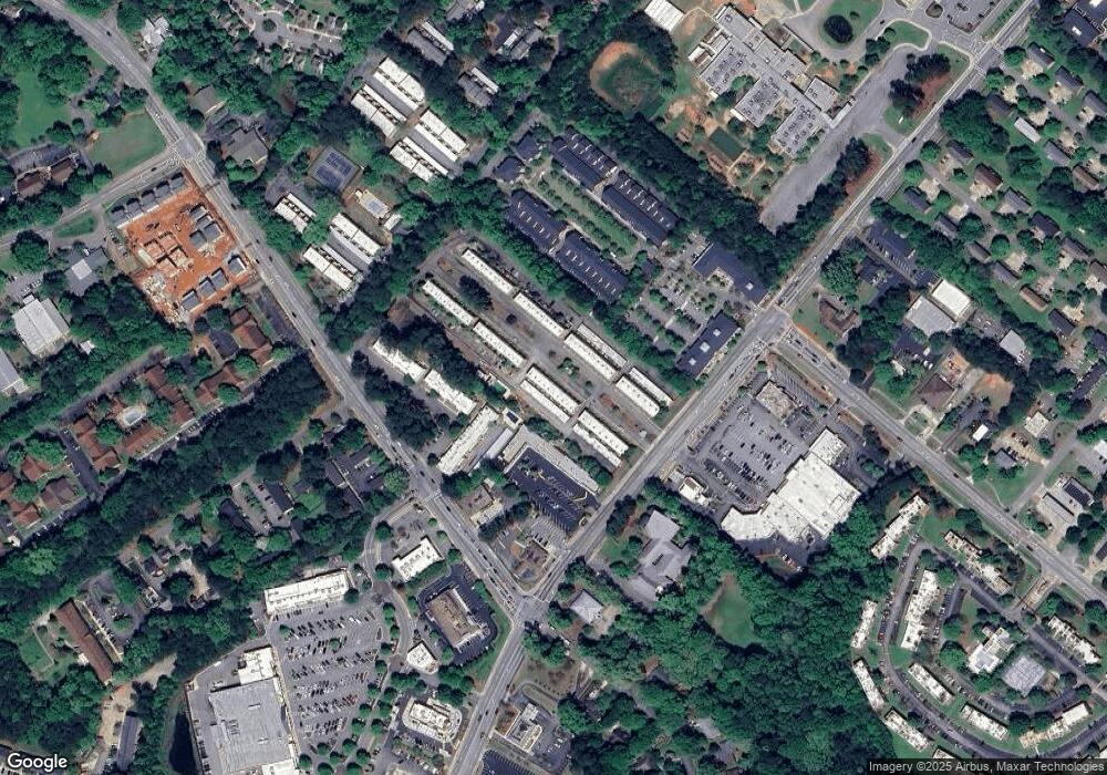
211 Georgetown Dr Athens, GA 30605
Estimated Value: $217,000 - $236,000
--
Bed
--
Bath
1,224
Sq Ft
$186/Sq Ft
Est. Value
About This Home
This home is located at 211 Georgetown Dr, Athens, GA 30605 and is currently estimated at $227,993, approximately $186 per square foot. 211 Georgetown Dr is a home located in Clarke County with nearby schools including Gaines Elementary School, Hilsman Middle School, and Cedar Shoals High School.
Ownership History
Date
Name
Owned For
Owner Type
Purchase Details
Closed on
Nov 7, 2003
Sold by
Driver Aimee M
Bought by
Bernstein Elizabeth D
Current Estimated Value
Purchase Details
Closed on
Oct 20, 1997
Sold by
Harrison Frank R
Bought by
Driver Aimee M
Purchase Details
Closed on
Jun 5, 1997
Sold by
Powell Daniel G
Bought by
Harrison Frank R
Purchase Details
Closed on
Jul 2, 1990
Sold by
Brooks Elizabeth D
Bought by
Powell Daniel G
Purchase Details
Closed on
Mar 23, 1990
Sold by
Brooks Douglas K and Brooks Marian D
Bought by
Brooks Elizabeth D
Create a Home Valuation Report for This Property
The Home Valuation Report is an in-depth analysis detailing your home's value as well as a comparison with similar homes in the area
Home Values in the Area
Average Home Value in this Area
Purchase History
| Date | Buyer | Sale Price | Title Company |
|---|---|---|---|
| Bernstein Elizabeth D | $93,000 | -- | |
| Driver Aimee M | $70,000 | -- | |
| Harrison Frank R | $56,000 | -- | |
| Powell Daniel G | $50,300 | -- | |
| Brooks Elizabeth D | -- | -- |
Source: Public Records
Tax History Compared to Growth
Tax History
| Year | Tax Paid | Tax Assessment Tax Assessment Total Assessment is a certain percentage of the fair market value that is determined by local assessors to be the total taxable value of land and additions on the property. | Land | Improvement |
|---|---|---|---|---|
| 2025 | $2,545 | $81,980 | $8,000 | $73,980 |
| 2024 | $2,545 | $77,841 | $8,000 | $69,841 |
| 2023 | $2,433 | $75,374 | $8,000 | $67,374 |
| 2022 | $1,910 | $59,883 | $8,000 | $51,883 |
| 2021 | $1,820 | $54,007 | $8,000 | $46,007 |
| 2020 | $1,499 | $44,481 | $8,000 | $36,481 |
| 2019 | $1,412 | $41,585 | $8,000 | $33,585 |
| 2018 | $1,299 | $38,264 | $8,000 | $30,264 |
| 2017 | $1,271 | $37,443 | $8,000 | $29,443 |
| 2016 | $1,128 | $33,231 | $8,000 | $25,231 |
| 2015 | $751 | $32,086 | $8,000 | $24,086 |
| 2014 | $698 | $30,462 | $8,000 | $22,462 |
Source: Public Records
Map
Nearby Homes
- 219 Georgetown Dr
- 100 Ansonborough Ln Unit 403
- 100 Ansonborough Ln Unit 601
- 200 Scandia Cir Unit 5
- 400 Greencrest Dr
- 354 Greencrest Dr
- 169 Spring Lake Dr
- 170 Brookwood Dr
- 352 Greencrest Dr
- 450 Gaines School Rd
- 1035 Barnett Shoals Rd Unit 1010
- 1035 Barnett Shoals Rd Unit 313
- 1035 Barnett Shoals Rd Unit 223
- 1035 Barnett Shoals Rd Unit 913
- 1035 Barnett Shoals Rd Unit 713
- 213 Georgetown Dr
- 209 Georgetown Dr
- 215 Georgetown Dr
- 207 Georgetown Dr
- 217 Georgetown Dr
- 203 Georgetown Dr
- 201 Georgetown Dr
- 301 Georgetown Dr
- 115 Georgetown Dr
- 303 Georgetown Dr
- 305 Georgetown Dr
- 113 Georgetown Dr
- 214 Georgetown Dr
- 212 Georgetown Dr
- 210 Georgetown Dr
- 208 Georgetown Dr
- 218 Georgetown Dr
- 307 Georgetown Dr
- 206 Georgetown Dr
- 216 Georgetown Dr
