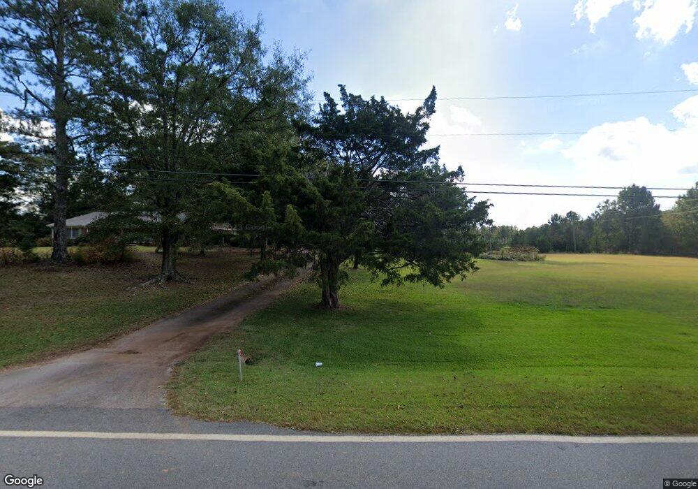
211 Glass Bridge Rd Lagrange, GA 30240
Estimated Value: $320,243 - $380,000
4
Beds
2
Baths
2,370
Sq Ft
$146/Sq Ft
Est. Value
About This Home
This home is located at 211 Glass Bridge Rd, Lagrange, GA 30240 and is currently estimated at $346,311, approximately $146 per square foot. 211 Glass Bridge Rd is a home located in Troup County with nearby schools including Long Cane Elementary School, Berta Weathersbee Elementary School, and Whitesville Road Elementary School.
Ownership History
Date
Name
Owned For
Owner Type
Purchase Details
Closed on
Jun 23, 2000
Sold by
Emily Hazel Allred
Bought by
Jones Jo Anne
Current Estimated Value
Purchase Details
Closed on
Jun 22, 2000
Sold by
Heulon Allred
Bought by
Emily Hazel Allred
Purchase Details
Closed on
Mar 28, 1996
Sold by
Allred H H
Bought by
Heulon Allred
Purchase Details
Closed on
Jan 31, 1978
Sold by
Alred Elbert
Bought by
Allred H H
Purchase Details
Closed on
Dec 14, 1977
Sold by
Alred Elbert
Bought by
Alred Elbert
Create a Home Valuation Report for This Property
The Home Valuation Report is an in-depth analysis detailing your home's value as well as a comparison with similar homes in the area
Purchase History
| Date | Buyer | Sale Price | Title Company |
|---|---|---|---|
| Jones Jo Anne | -- | -- | |
| Emily Hazel Allred | -- | -- | |
| Heulon Allred | -- | -- | |
| Allred H H | -- | -- | |
| Alred Elbert | -- | -- |
Source: Public Records
Tax History
| Year | Tax Paid | Tax Assessment Tax Assessment Total Assessment is a certain percentage of the fair market value that is determined by local assessors to be the total taxable value of land and additions on the property. | Land | Improvement |
|---|---|---|---|---|
| 2025 | $1,890 | $103,300 | $20,520 | $82,780 |
| 2024 | $1,644 | $89,340 | $20,520 | $68,820 |
| 2023 | $1,038 | $85,020 | $20,520 | $64,500 |
| 2022 | $1,457 | $80,820 | $20,520 | $60,300 |
| 2021 | $1,474 | $56,616 | $14,160 | $42,456 |
| 2020 | $1,474 | $56,616 | $14,160 | $42,456 |
| 2019 | $1,486 | $57,016 | $14,160 | $42,856 |
| 2018 | $1,368 | $53,100 | $14,160 | $38,940 |
| 2017 | $1,368 | $53,100 | $14,160 | $38,940 |
| 2016 | $1,328 | $51,778 | $14,184 | $37,594 |
| 2015 | $1,427 | $54,190 | $14,184 | $40,006 |
| 2014 | $1,365 | $52,085 | $14,184 | $37,901 |
| 2013 | -- | $54,267 | $14,184 | $40,083 |
Source: Public Records
Map
Nearby Homes
- 266 Glass Bridge Rd
- 640 Hudson Rd
- 0 Glass Bridge Rd Unit 10679358
- 112 Foxdale Dr
- 105 Redwood Dr
- 119 Plymouth Dr
- 808 S Fling Rd
- 509 Connie Dr
- 3009 Old West Point Rd
- 288 Bradfield Dr
- 113 Colonial Ct Unit 100
- 311 Cumberland Dr
- 135 Planters Ridge Dr
- 22 Freeman Rd
- 427 Fling Rd
- 101 Ivy Springs Dr
- 124 Lincoln Ln
- 8 Horace Carter Rd
- 0 Bradfield Dr Unit 10568803
- 2239 Pegasus Pkwy
- 202 Glass Bridge Rd
- 218 Glass Bridge Rd
- 167 Glass Bridge Rd
- 3618 West Point Rd
- 3550 West Point Rd
- 240 Glass Bridge Rd
- 240 Glass Bridge Rd
- 100 Rockwell Dr
- 263 Glass Bridge Rd
- 145 Glass Bridge Rd
- 262 Glass Bridge Rd
- 262 Upper Glass Bridge Rd
- 3632 West Point Rd
- 204 Glass Bridge Rd
- 154 Upper Glass Bridge Rd
- 102 Rockwell Dr
- 3644 West Point Rd
- 104 Rockwell Dr
- 289 Upper Glass Bridge Rd
- 130 Glass Bridge Rd
Your Personal Tour Guide
Ask me questions while you tour the home.