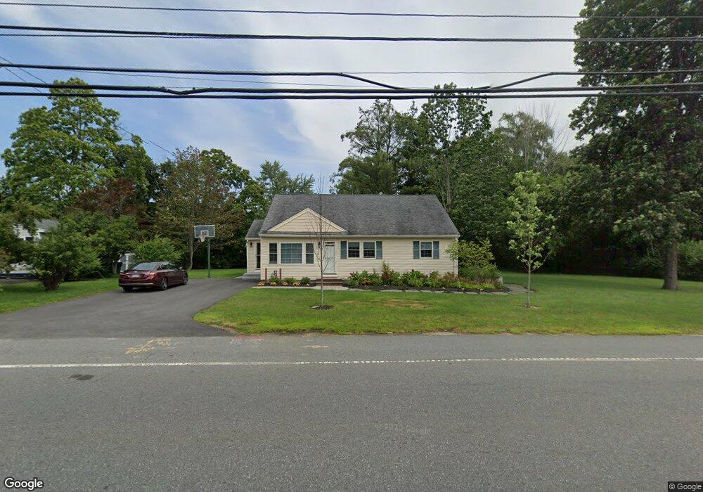
211 Howe St Methuen, MA 01844
The North End NeighborhoodEstimated Value: $566,000 - $583,005
About This Home
This home is located at 211 Howe St, Methuen, MA 01844 and is currently estimated at $573,501, approximately $324 per square foot. 211 Howe St is a home located in Essex County with nearby schools including Methuen High School and Saint Monica School.
Ownership History
We collect this data history from publicly available records. To have your information removed, we recommend requesting removal directly through your county’s website.
Purchase Details
Home Values in the Area
Average Home Value in this Area
Purchase History
We collect this data history from publicly available records. To have your information removed, we recommend requesting removal directly through your county’s website.
| Date | Buyer | Sale Price | Title Company |
|---|---|---|---|
| $110,000 | -- | ||
| $110,000 | -- |
Mortgage History
We collect this data history from publicly available records. To have your information removed, we recommend requesting removal directly through your county’s website.
| Date | Status | Borrower | Loan Amount |
|---|---|---|---|
| Open | $157,826 | ||
| Closed | $98,000 |
Tax History
We collect this data history from publicly available records. To have your information removed, we recommend requesting removal directly through your county’s website.
| Year | Tax Paid | Tax Assessment Tax Assessment Total Assessment is a certain percentage of the fair market value that is determined by local assessors to be the total taxable value of land and additions on the property. | Land | Improvement |
|---|---|---|---|---|
| 2025 | $4,869 | $460,200 | $205,900 | $254,300 |
| 2024 | $4,716 | $434,300 | $180,000 | $254,300 |
| 2023 | $4,439 | $379,400 | $158,400 | $221,000 |
| 2022 | $4,230 | $324,100 | $129,600 | $194,500 |
| 2021 | $3,956 | $299,900 | $122,400 | $177,500 |
| 2020 | $3,942 | $293,300 | $122,400 | $170,900 |
| 2019 | $3,736 | $263,300 | $115,200 | $148,100 |
| 2018 | $3,543 | $248,300 | $108,000 | $140,300 |
| 2017 | $3,427 | $233,900 | $108,000 | $125,900 |
| 2016 | $3,261 | $220,200 | $100,800 | $119,400 |
Map
- 27 Mary Lou St
- 36 Mary Lou St
- 7 Tree Top Way
- 3 Adams Ave
- 24 Hampstead St
- 6 Geramat Way
- 108 Druid Hill Ave
- 31 Fairways Ln
- 2 Hitching Post Ln
- 24 Washington St
- 20 Washington St Unit 49
- 20 Washington St Unit 30
- 4 Olympic Village Dr
- 99 Pond St
- 33 Huntington Ave
- 45 Washington St Unit 90
- 45 Washington St Unit 107
- 11 Balmoral Dr
- 76 Maple St
- 80 Pond St Unit 1
- 215 Howe St
- 207 Howe St
- 205 Howe St
- 219 Howe St
- 5 Garside Terrace
- 223 Howe St
- 203 Howe St
- 1 Garside Terrace
- 1 Garside Terrace Unit Lot 28
- 3 Treetrunk Ln
- 1 Valley View Way
- 4 Valley View Way Unit 33
- 3 Valley View Way Unit 73
- 3 Valley View Way
- 6 Valley View Way
- 74 Valley View Way
- 227 Howe St
- 1 Kerri Ann Cir
- 4 Treetrunk Ln
- 1 Treetrunk Ln
Ask me questions while you tour the home.