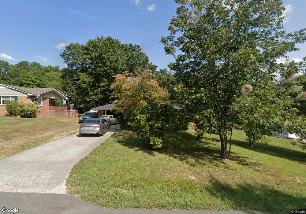
211 Hunt Dr Calhoun, GA 30701
Estimated Value: $222,000 - $236,000
3
Beds
1
Bath
1,377
Sq Ft
$166/Sq Ft
Est. Value
About This Home
This home is located at 211 Hunt Dr, Calhoun, GA 30701 and is currently estimated at $228,759, approximately $166 per square foot. 211 Hunt Dr is a home located in Gordon County with nearby schools including Calhoun Elementary School, Calhoun Middle School, and Calhoun High School.
Ownership History
Date
Name
Owned For
Owner Type
Purchase Details
Closed on
Jul 7, 2010
Sold by
Mckinnon R Loel
Bought by
Or Mckinnon R and Or Martha J
Current Estimated Value
Purchase Details
Closed on
Jun 8, 2001
Sold by
Daniel Doris
Bought by
Mckinnon R Loel
Purchase Details
Closed on
Jun 5, 2000
Bought by
Daniel Doris
Purchase Details
Closed on
Aug 6, 1998
Bought by
Daniel James Wesley
Purchase Details
Closed on
Jul 6, 1998
Bought by
Inman Richard E
Purchase Details
Closed on
Jul 15, 1997
Bought by
Inman Richard E
Purchase Details
Closed on
Jan 26, 1997
Bought by
Inman Richard E
Create a Home Valuation Report for This Property
The Home Valuation Report is an in-depth analysis detailing your home's value as well as a comparison with similar homes in the area
Purchase History
| Date | Buyer | Sale Price | Title Company |
|---|---|---|---|
| Or Mckinnon R | -- | -- | |
| Mckinnon R Loel | $64,500 | -- | |
| Daniel Doris | -- | -- | |
| Daniel James Wesley | $76,000 | -- | |
| Inman Richard E | $78,000 | -- | |
| Inman Richard E | $60,700 | -- | |
| Inman Richard E | $74,400 | -- |
Source: Public Records
Tax History
| Year | Tax Paid | Tax Assessment Tax Assessment Total Assessment is a certain percentage of the fair market value that is determined by local assessors to be the total taxable value of land and additions on the property. | Land | Improvement |
|---|---|---|---|---|
| 2025 | $1,640 | $62,400 | $5,600 | $56,800 |
| 2023 | $1,448 | $51,520 | $5,600 | $45,920 |
| 2022 | $462 | $48,560 | $5,600 | $42,960 |
| 2021 | $1,187 | $39,880 | $5,600 | $34,280 |
| 2020 | $1,212 | $40,400 | $5,600 | $34,800 |
| 2019 | $1,211 | $40,400 | $5,600 | $34,800 |
| 2018 | $362 | $37,600 | $5,600 | $32,000 |
| 2017 | $350 | $35,640 | $5,600 | $30,040 |
| 2016 | $351 | $35,640 | $5,600 | $30,040 |
| 2015 | $299 | $30,000 | $5,040 | $24,960 |
| 2014 | $332 | $33,690 | $5,600 | $28,090 |
Source: Public Records
Map
Nearby Homes
- 136 Meadow Ln
- 114 Lindsey Ct NE
- 115 Devonwood Dr
- 121 Hunt Dr
- 201 Crestmont Dr
- 127 Windsor Dr
- 115 Windsor Dr
- 103 Mims Dr
- 118 Garden Lake Dr
- 105 Garden Hill Dr
- 129 Derby Ln
- 215 NW Briar Ridge Rd
- 511 Boulevard Heights
- 111 Meadow Ln
- 140 Cambridge Ct
- 622 Pisgah Way
- 121 Oakhurst Terrace NE
- 606 Pisgah Way
- 123 Waterside Ridge
- 110 Waterside Ridge
Your Personal Tour Guide
Ask me questions while you tour the home.