Estimated Value: $254,000 - $317,000
--
Bed
--
Bath
--
Sq Ft
4,792
Sq Ft Lot
About This Home
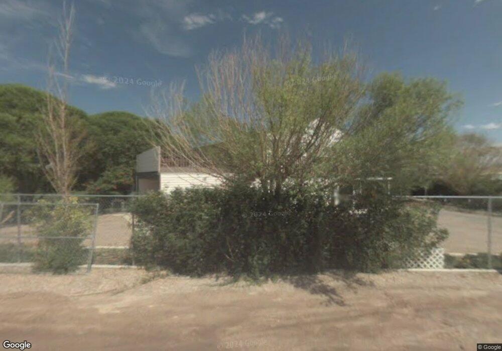
This home is located at 211 Island Park Dr, Delta, UT 84624 and is currently estimated at $295,051. 211 Island Park Dr is a home with nearby schools including White River Academy.
Ownership History
Date
Name
Owned For
Owner Type
Purchase Details
Closed on
Mar 31, 2025
Sold by
Kessler Jack C
Bought by
J Kessler Llc
Current Estimated Value
Home Financials for this Owner
Home Financials are based on the most recent Mortgage that was taken out on this home.
Original Mortgage
$154,902
Outstanding Balance
$153,974
Interest Rate
6.87%
Mortgage Type
Seller Take Back
Estimated Equity
$141,077
Purchase Details
Closed on
Feb 7, 2018
Sold by
Kessler Jack C and Kessler Dana S
Bought by
Kessler Jack C
Home Financials for this Owner
Home Financials are based on the most recent Mortgage that was taken out on this home.
Original Mortgage
$173,750
Interest Rate
3.95%
Mortgage Type
New Conventional
Create a Home Valuation Report for This Property
The Home Valuation Report is an in-depth analysis detailing your home's value as well as a comparison with similar homes in the area
Home Values in the Area
Average Home Value in this Area
Purchase History
| Date | Buyer | Sale Price | Title Company |
|---|---|---|---|
| J Kessler Llc | -- | None Listed On Document | |
| Kessler Jack C | -- | -- |
Source: Public Records
Mortgage History
| Date | Status | Borrower | Loan Amount |
|---|---|---|---|
| Open | J Kessler Llc | $154,902 | |
| Previous Owner | Kessler Jack C | $173,750 |
Source: Public Records
Tax History Compared to Growth
Tax History
| Year | Tax Paid | Tax Assessment Tax Assessment Total Assessment is a certain percentage of the fair market value that is determined by local assessors to be the total taxable value of land and additions on the property. | Land | Improvement |
|---|---|---|---|---|
| 2025 | $2,226 | $274,423 | $6,050 | $268,373 |
| 2024 | $2,226 | $157,314 | $3,011 | $154,303 |
| 2023 | $1,810 | $157,314 | $3,011 | $154,303 |
| 2022 | $1,472 | $130,510 | $2,868 | $127,642 |
| 2021 | $1,125 | $96,322 | $3,781 | $92,541 |
| 2020 | $1,036 | $89,310 | $3,151 | $86,159 |
| 2019 | $1,025 | $89,219 | $3,060 | $86,159 |
| 2018 | $915 | $81,722 | $3,060 | $78,662 |
| 2017 | $948 | $81,110 | $2,448 | $78,662 |
| 2016 | $906 | $81,110 | $2,448 | $78,662 |
| 2015 | $905 | $81,110 | $2,448 | $78,662 |
| 2014 | -- | $81,110 | $2,448 | $78,662 |
| 2013 | -- | $80,691 | $2,448 | $78,243 |
Source: Public Records
Map
Nearby Homes
- 435 W 100 S
- 242 S 400 W
- 451 W 300 N
- 294 S 300 W
- 331 W 200 N
- 9000 W 1500 Rd N
- 163 W 100 S
- 17000 W 2500 Rd S
- 16700 W 2500 South Rd
- 16800 W 2500 South Rd
- 325 N 100 W
- 328 S Center St
- 32 E 300 S
- 38 E 300 S
- 98 W 1000 N
- 700 Acres
- 1500 S 10000 W
- 6000 N 10000 W
- 700 Acres Hwy 6 & Main St (Hwy 50)
- 2000 E 10500 N
- 214 Nottingham Dr
- 189 Robin Hood Dr
- 199 Robin Hood Dr
- 115 Island Park Dr
- 289 Robin Hood Dr
- 269 Robin Hood Dr
- 175 Sherwood Dr
- 92 Sherwood Dr
- 64 Sherwood Dr
- 155 Sherwood Dr
- 267 SE Sherwood Dr
- 0 S Island Park Dr
- 326 Island Park Dr
- 325 Island Park Dr
- 0 Island Park Dr Unit 11703427
- 361 Robin Hood Dr
- 52 Sherwood Dr
- 361 Sherwood Dr
- 452 Nottingham Dr
- 65 Sherwood Dr