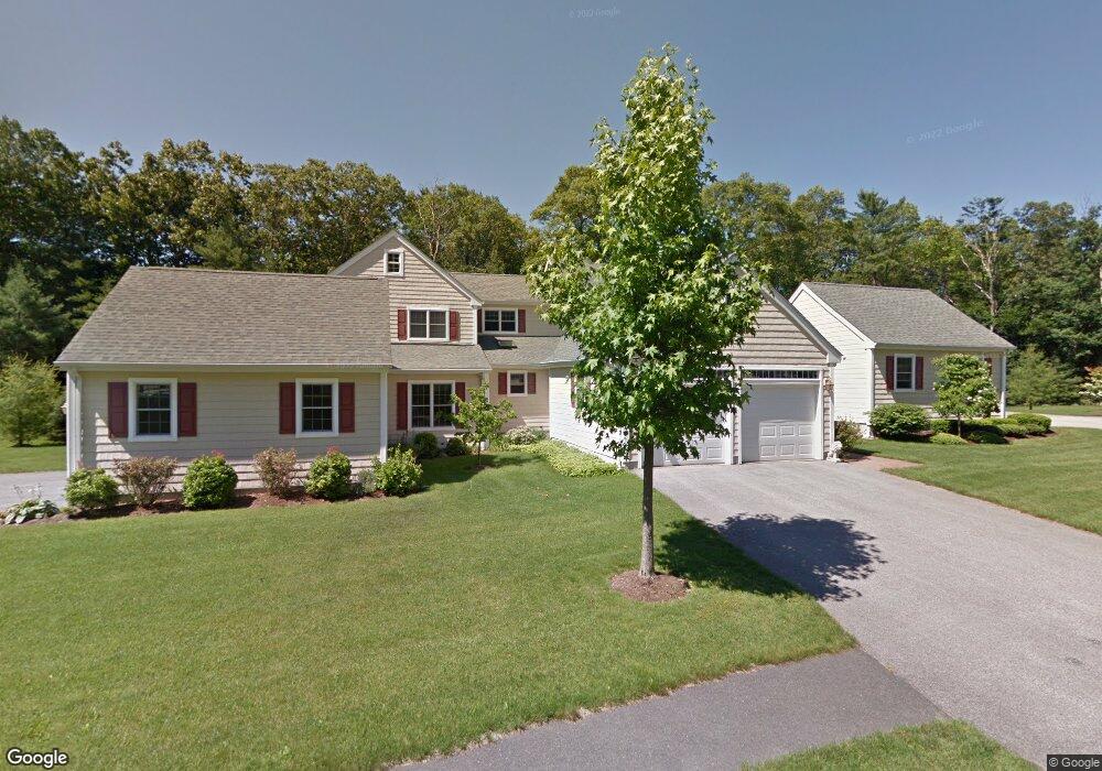
211 Juniper Ln Hanover, MA 02339
Estimated Value: $776,635 - $805,000
2
Beds
3
Baths
2,138
Sq Ft
$371/Sq Ft
Est. Value
About This Home
This home is located at 211 Juniper Ln, Hanover, MA 02339 and is currently estimated at $793,909, approximately $371 per square foot. 211 Juniper Ln is a home located in Plymouth County with nearby schools including Hanover High School, South Shore Charter Public School, and Norwell KinderCare.
Ownership History
Date
Name
Owned For
Owner Type
Purchase Details
Closed on
Aug 27, 2019
Sold by
Morrison Ft
Bought by
Morrison Ft 2019
Current Estimated Value
Purchase Details
Closed on
Feb 15, 2012
Sold by
Morrison Sean and Morrison Susan
Bought by
Morrison Family Ret and Morrison Moira A
Purchase Details
Closed on
May 23, 2008
Sold by
Flaherty Patrick A and Flaherty Deidre J
Bought by
Morrison Sean and Morrison Susan
Purchase Details
Closed on
Aug 27, 2004
Sold by
Walnut Creek Llc and Valco John B
Bought by
Flaherty Patrick A and Flaherty Deidre J
Create a Home Valuation Report for This Property
The Home Valuation Report is an in-depth analysis detailing your home's value as well as a comparison with similar homes in the area
Home Values in the Area
Average Home Value in this Area
Purchase History
| Date | Buyer | Sale Price | Title Company |
|---|---|---|---|
| Morrison Ft 2019 | -- | -- | |
| Morrison Family Ret | -- | -- | |
| Morrison Sean | $400,000 | -- | |
| Flaherty Patrick A | $469,742 | -- |
Source: Public Records
Mortgage History
| Date | Status | Borrower | Loan Amount |
|---|---|---|---|
| Previous Owner | Flaherty Patrick A | $200,000 |
Source: Public Records
Tax History
| Year | Tax Paid | Tax Assessment Tax Assessment Total Assessment is a certain percentage of the fair market value that is determined by local assessors to be the total taxable value of land and additions on the property. | Land | Improvement |
|---|---|---|---|---|
| 2025 | $9,188 | $744,000 | $0 | $744,000 |
| 2024 | $8,573 | $667,700 | $0 | $667,700 |
| 2023 | $8,018 | $594,400 | $0 | $594,400 |
| 2022 | $8,038 | $527,100 | $0 | $527,100 |
| 2021 | $7,704 | $471,800 | $0 | $471,800 |
| 2020 | $7,695 | $471,800 | $0 | $471,800 |
| 2019 | $7,435 | $453,100 | $0 | $453,100 |
| 2018 | $7,461 | $458,300 | $0 | $458,300 |
| 2017 | $6,970 | $421,900 | $0 | $421,900 |
| 2016 | $6,909 | $409,800 | $0 | $409,800 |
| 2015 | $6,560 | $406,200 | $0 | $406,200 |
Source: Public Records
Map
Nearby Homes
- 535 Webster St
- 46 Brookwood Rd
- 49 Washington Park Dr
- 53 Chestnut St
- 776 Main St
- 7 Assinippi Ave Unit 205
- 7 Assinippi Ave Unit 306
- 44 Stone Meadow Ln
- 47 Stone Meadow Ln
- 18 Winterberry Ln
- 73 Shingle Mill Ln
- 506 Main St
- 214 Washington St Unit 24
- 214 Washington St Unit 28
- 164 Main St
- 36 Bayberry Ln
- 225 Prospect St
- 62 Larchmont Ln
- 5 Blueberry Ct
- 8 Blueberry Ct
Your Personal Tour Guide
Ask me questions while you tour the home.