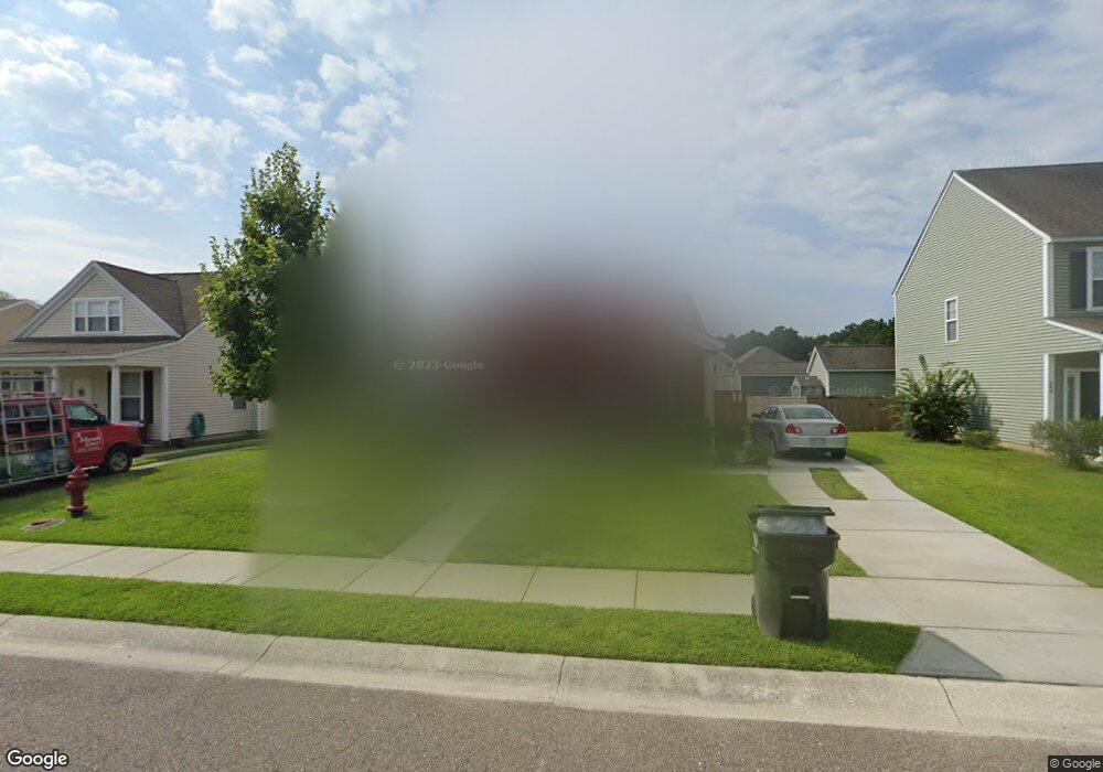
211 Killarney Trail Moncks Corner, SC 29461
Estimated Value: $245,192 - $296,000
3
Beds
2
Baths
1,250
Sq Ft
$215/Sq Ft
Est. Value
About This Home
This home is located at 211 Killarney Trail, Moncks Corner, SC 29461 and is currently estimated at $269,298, approximately $215 per square foot. 211 Killarney Trail is a home located in Berkeley County with nearby schools including Foxbank Elementary School, Berkeley Middle School, and Berkeley High School.
Ownership History
Date
Name
Owned For
Owner Type
Purchase Details
Closed on
Jul 27, 2006
Sold by
Sachs Robert and Sachs Julia
Bought by
Crawford Miriam F
Current Estimated Value
Home Financials for this Owner
Home Financials are based on the most recent Mortgage that was taken out on this home.
Original Mortgage
$24,650
Interest Rate
6.32%
Mortgage Type
Stand Alone Second
Purchase Details
Closed on
Apr 27, 2006
Sold by
D R Horton Inc
Bought by
Sachs Robert and Sachs Julia
Purchase Details
Closed on
Oct 4, 2005
Sold by
Foxbank Ventures Llc
Bought by
D R Horton Inc
Create a Home Valuation Report for This Property
The Home Valuation Report is an in-depth analysis detailing your home's value as well as a comparison with similar homes in the area
Purchase History
| Date | Buyer | Sale Price | Title Company |
|---|---|---|---|
| Crawford Miriam F | $145,000 | None Available | |
| Sachs Robert | $132,130 | None Available | |
| D R Horton Inc | $927,000 | None Available |
Source: Public Records
Mortgage History
| Date | Status | Borrower | Loan Amount |
|---|---|---|---|
| Closed | Crawford Miriam F | $24,650 |
Source: Public Records
Tax History
| Year | Tax Paid | Tax Assessment Tax Assessment Total Assessment is a certain percentage of the fair market value that is determined by local assessors to be the total taxable value of land and additions on the property. | Land | Improvement |
|---|---|---|---|---|
| 2025 | $778 | $163,185 | $48,337 | $114,848 |
| 2024 | $738 | $6,527 | $1,933 | $4,594 |
| 2023 | $738 | $6,527 | $1,933 | $4,594 |
| 2022 | $741 | $5,676 | $1,920 | $3,756 |
| 2021 | $759 | $5,680 | $1,920 | $3,756 |
| 2020 | $769 | $5,676 | $1,920 | $3,756 |
| 2019 | $763 | $5,676 | $1,920 | $3,756 |
| 2018 | $722 | $5,124 | $1,440 | $3,684 |
| 2017 | $723 | $5,124 | $1,440 | $3,684 |
| 2016 | $738 | $5,120 | $1,440 | $3,680 |
| 2015 | $686 | $5,120 | $1,440 | $3,680 |
| 2014 | $675 | $5,120 | $1,440 | $3,680 |
| 2013 | -- | $5,120 | $1,440 | $3,680 |
Source: Public Records
Map
Nearby Homes
- 112 Worthington Dr
- 143 Red Leaf Blvd
- 102 Worthington Dr
- 136 Red Leaf Blvd
- 113 Red Leaf Blvd
- 220 Devonshire Dr
- 581 Trotters Ln
- 151 Kimberton Ave
- 524 Trotters Ln
- 244 Devonshire Dr
- 499 Trotters Ln
- 500 Trotters Ln
- 169 Woodbrook Way
- 208 Woodbrook Way
- 261 Woodbrook Way
- 263 Woodbrook Way
- 256 Woodbrook Way
- 438 Trotters Ln
- 432 Trotters Ln
- 435 Foxbank Plantation Blvd
- 213 Killarney Trail
- 406 Farrow Ct
- 215 Killarney Trail
- 118 Worthington Dr
- 116 Worthington Dr
- 217 Killarney Trail
- 210 Killarney Trail
- 212 Killarney Trail
- 208 Killarney Trail
- 401 Farrow Ct
- 214 Killarney Trail
- 403 Farrow Ct
- 206 Killarney Trail
- 114 Worthington Dr
- 405 Farrow Ct
- 219 Killarney Trail
- 216 Killarney Trail
- 204 Killarney Trail
- 407 Farrow Ct
- 218 Killarnley Trail
Your Personal Tour Guide
Ask me questions while you tour the home.