211 Kookoosint Trail Kalispell, MT 59901
Estimated Value: $566,243 - $696,000
4
Beds
2
Baths
2,020
Sq Ft
$310/Sq Ft
Est. Value
About This Home
This home is located at 211 Kookoosint Trail, Kalispell, MT 59901 and is currently estimated at $625,561, approximately $309 per square foot. 211 Kookoosint Trail is a home located in Flathead County with nearby schools including Lillian Peterson School, Kalispell Middle School, and Flathead High School.
Ownership History
Date
Name
Owned For
Owner Type
Purchase Details
Closed on
Apr 30, 2009
Sold by
Boyce Dennis Joseph and Struck Marlene A
Bought by
Keyser Kathy J
Current Estimated Value
Home Financials for this Owner
Home Financials are based on the most recent Mortgage that was taken out on this home.
Original Mortgage
$153,500
Outstanding Balance
$96,723
Interest Rate
4.8%
Mortgage Type
New Conventional
Estimated Equity
$528,838
Create a Home Valuation Report for This Property
The Home Valuation Report is an in-depth analysis detailing your home's value as well as a comparison with similar homes in the area
Purchase History
| Date | Buyer | Sale Price | Title Company |
|---|---|---|---|
| Keyser Kathy J | -- | First American Title Company |
Source: Public Records
Mortgage History
| Date | Status | Borrower | Loan Amount |
|---|---|---|---|
| Open | Keyser Kathy J | $153,500 |
Source: Public Records
Tax History
| Year | Tax Paid | Tax Assessment Tax Assessment Total Assessment is a certain percentage of the fair market value that is determined by local assessors to be the total taxable value of land and additions on the property. | Land | Improvement |
|---|---|---|---|---|
| 2025 | $2,279 | $565,200 | $0 | $0 |
| 2024 | $2,793 | $437,400 | $0 | $0 |
| 2023 | $2,822 | $437,400 | $0 | $0 |
| 2022 | $2,678 | $302,500 | $0 | $0 |
| 2021 | $2,697 | $302,500 | $0 | $0 |
| 2020 | $2,390 | $258,400 | $0 | $0 |
| 2019 | $2,394 | $258,400 | $0 | $0 |
| 2018 | $2,191 | $226,200 | $0 | $0 |
| 2017 | $2,200 | $226,200 | $0 | $0 |
| 2016 | $1,712 | $192,700 | $0 | $0 |
| 2015 | $1,740 | $192,700 | $0 | $0 |
| 2014 | $1,855 | $123,702 | $0 | $0 |
Source: Public Records
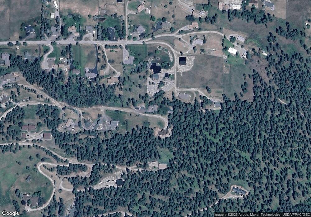
Map
Nearby Homes
- 125 Stoneridge Dr
- 605 Stoneridge Dr
- TBD Tbd
- 130 Lupine Dr
- 152 Peaks View Loop
- 192 Glacier Flats Rd
- 76 Meadow Mint Way
- 103 Terrace Rd
- 108 Eagle Crest Ct
- 45 Roybals Way
- 197 High Rd
- 122 Treasure Island Way
- 189 High Rd
- 1045 8th St W
- 1217 5th St W
- 1010 7th St W
- 606 S Foys Lake Dr
- 819 9th Ave W
- 605 Valley View Dr
- 824 8th St W
- 214 Kookoosint Trail
- 266 Kookoosint Trail
- 300 Wilson Heights
- 192 Wilson Heights
- 200 Kookoosint Trail
- 174 Kookoosint Trail
- 174 Wilson Heights
- 186 Wilson Heights
- 310 Wilson Heights
- 195 Kookoosint Trail
- 190 Kookoosint Trail
- 170 Wilson Heights
- 240 Kookoosint Trail
- 210 Wilson Heights
- 179 Wilson Heights
- 179 Wilson Heights
- 185 Wilson Heights
- 185 Kookoosint Trail
- 168 Wilson Heights
Your Personal Tour Guide
Ask me questions while you tour the home.