211 Kookoosint Trail Kalispell, MT 59901
Estimated Value: $577,529 - $774,000
About This Home
This home is located at 211 Kookoosint Trail, Kalispell, MT 59901 and is currently estimated at $643,882, approximately $318 per square foot. 211 Kookoosint Trail is a home located in Flathead County with nearby schools including Lillian Peterson School, Kalispell Middle School, and Flathead High School.
Ownership History
We collect this data history from publicly available records. To have your information removed, we recommend requesting removal directly through your county’s website.
Purchase Details
Home Financials for this Owner
Home Financials are based on the most recent Mortgage that was taken out on this home.Purchase History
We collect this data history from publicly available records. To have your information removed, we recommend requesting removal directly through your county’s website.
| Date | Buyer | Sale Price | Title Company |
|---|---|---|---|
| -- | First American Title Company |
Mortgage History
We collect this data history from publicly available records. To have your information removed, we recommend requesting removal directly through your county’s website.
| Date | Status | Borrower | Loan Amount |
|---|---|---|---|
| Open | $153,500 |
Tax History
We collect this data history from publicly available records. To have your information removed, we recommend requesting removal directly through your county’s website.
| Year | Tax Paid | Tax Assessment Tax Assessment Total Assessment is a certain percentage of the fair market value that is determined by local assessors to be the total taxable value of land and additions on the property. | Land | Improvement |
|---|---|---|---|---|
| 2025 | $2,279 | $565,200 | $0 | $0 |
| 2024 | $2,793 | $437,400 | $0 | $0 |
| 2023 | $2,822 | $437,400 | $0 | $0 |
| 2022 | $2,678 | $302,500 | $0 | $0 |
| 2021 | $2,697 | $302,500 | $0 | $0 |
| 2020 | $2,390 | $258,400 | $0 | $0 |
| 2019 | $2,394 | $258,400 | $0 | $0 |
| 2018 | $2,191 | $226,200 | $0 | $0 |
| 2017 | $2,200 | $226,200 | $0 | $0 |
| 2016 | $1,712 | $192,700 | $0 | $0 |
| 2015 | $1,740 | $192,700 | $0 | $0 |
| 2014 | $1,855 | $123,702 | $0 | $0 |
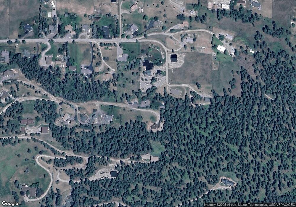
Map
- 125 Stoneridge Dr
- 605 Stoneridge Dr
- 158 Stoneridge Dr
- 108 Stoneridge Dr
- 963 Foys Lake Rd
- TBD Tbd
- 317 Stoneridge Dr
- 130 Lupine Dr
- 152 Peaks View Loop
- 219 Segiah Way
- 1333 Creekside Dr
- 125 Peaks View Loop
- 133 Peaks View Loop
- 76 Meadow Mint Way
- 67 Double Eagle Ct
- 103 Terrace Rd
- 108 Eagle Crest Ct
- 1563 Foys Lake Rd
- 168 Peaks View Loop
- 45 Roybals Way
- 214 Kookoosint Trail
- 266 Kookoosint Trail
- 300 Wilson Heights
- 192 Wilson Heights
- 200 Kookoosint Trail
- 174 Kookoosint Trail
- 174 Wilson Heights
- 186 Wilson Heights
- 310 Wilson Heights
- 771 Kookoosint Trail
- 195 Kookoosint Trail
- 190 Kookoosint Trail
- 170 Wilson Heights
- 240 Kookoosint Trail
- 210 Wilson Heights
- 179 Wilson Heights
- 179 Wilson Heights
- 185 Wilson Heights
- 185 Kookoosint Trail
- 168 Wilson Heights
Ask me questions while you tour the home.