211 Lakeshore Pointe Dr Howell, MI 48843
Estimated Value: $398,000 - $638,000
4
Beds
3
Baths
1,754
Sq Ft
$312/Sq Ft
Est. Value
About This Home
This home is located at 211 Lakeshore Pointe Dr, Howell, MI 48843 and is currently estimated at $547,755, approximately $312 per square foot. 211 Lakeshore Pointe Dr is a home located in Livingston County with nearby schools including Northwest Elementary School, Highlander Way Middle School, and Howell High School.
Ownership History
Date
Name
Owned For
Owner Type
Purchase Details
Closed on
Oct 22, 2010
Sold by
Vessell Gary and Vessell Nancy
Bought by
Acker Gary R and Garcia Acker Perla V
Current Estimated Value
Home Financials for this Owner
Home Financials are based on the most recent Mortgage that was taken out on this home.
Original Mortgage
$326,428
Outstanding Balance
$215,627
Interest Rate
4.37%
Mortgage Type
VA
Estimated Equity
$332,128
Purchase Details
Closed on
Nov 30, 2001
Sold by
Luce Andrea
Bought by
Vessell Gary
Create a Home Valuation Report for This Property
The Home Valuation Report is an in-depth analysis detailing your home's value as well as a comparison with similar homes in the area
Home Values in the Area
Average Home Value in this Area
Purchase History
| Date | Buyer | Sale Price | Title Company |
|---|---|---|---|
| Acker Gary R | $316,000 | -- | |
| Vessell Gary | $415,000 | American Title Co |
Source: Public Records
Mortgage History
| Date | Status | Borrower | Loan Amount |
|---|---|---|---|
| Open | Acker Gary R | $326,428 |
Source: Public Records
Tax History
| Year | Tax Paid | Tax Assessment Tax Assessment Total Assessment is a certain percentage of the fair market value that is determined by local assessors to be the total taxable value of land and additions on the property. | Land | Improvement |
|---|---|---|---|---|
| 2025 | $3,454 | $309,800 | $0 | $0 |
| 2024 | $3,356 | $296,900 | $0 | $0 |
| 2023 | $3,205 | $269,200 | $0 | $0 |
| 2022 | $1,643 | $233,700 | $0 | $0 |
| 2021 | $4,460 | $247,400 | $0 | $0 |
| 2020 | $4,500 | $233,700 | $0 | $0 |
| 2019 | $4,447 | $233,100 | $0 | $0 |
| 2018 | $4,525 | $237,400 | $0 | $0 |
| 2017 | $4,479 | $222,000 | $0 | $0 |
| 2016 | $4,444 | $214,400 | $0 | $0 |
| 2014 | $4,518 | $175,300 | $0 | $0 |
| 2012 | $4,518 | $167,000 | $0 | $0 |
Source: Public Records
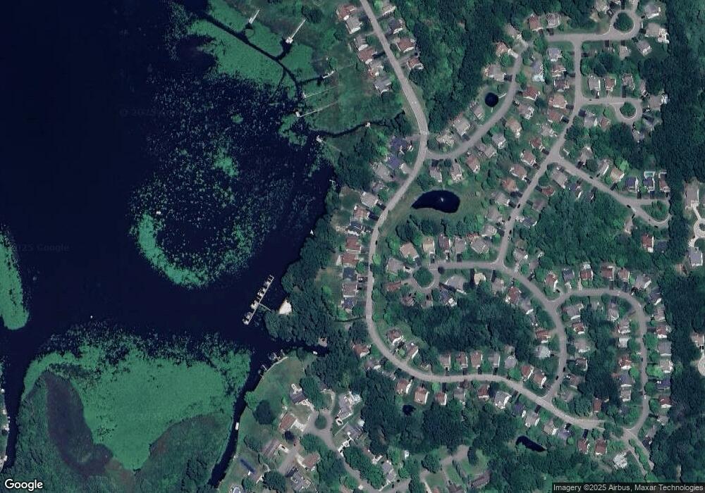
Map
Nearby Homes
- 2160 E Grand River Ave
- 2607 E Grand River Ave
- 2730 Turning Leaf Dr Unit 10
- 2756 Turning Leaf Dr
- 2570 Castle Rock Ct
- VACANT LOT Thompson Shore Dr
- 2830 E Grand River Ave
- VL Gentry Rd
- 2830 Bonny Brook Dr Unit 3
- 455 Waverly Ln
- 1363 Douglas Fir Dr
- 826 Nelsons Ridge Dr Unit 21
- 828 Nelsons Ridge Dr Unit 20
- 409 Lake St
- 819 Chelsea Ridge Ct Unit 7
- 821 Chelsea Ridge Ct Unit 8
- 901 Chelsea Ridge Ct Unit 9
- 903 Chelsea Ridge Ct Unit 10
- 907 Chelsea Ridge Ct Unit 11
- 308 N Court St
- 219 Lakeshore Pointe Dr
- 203 Lakeshore Pointe Dr
- 195 Lakeshore Pointe Dr
- 227 Lakeshore Pointe Dr
- 187 Lakeshore Pointe Dr
- 235 Lakeshore Pointe Dr
- 186 Lakeshore Vista
- 178 Lakeshore Vista Unit 85
- 179 Lakeshore Pointe Dr
- 179 Lakeshore Vista
- 243 Lakeshore Pointe Dr
- 172 Lakeshore Vista
- 251 Lakeshore Pointe Dr
- 173 Lakeshore Vista Unit 82
- 167 Lakeshore Pointe Dr
- 167 Lakeshore Pointe Genoa Cir
- 259 Lakeshore Pointe Dr Unit 60
- 164 Lakeshore Vista Unit 87
- 167 Lakeshore Vista Unit 81
- 156 Lakeshore Pointe Dr
Your Personal Tour Guide
Ask me questions while you tour the home.