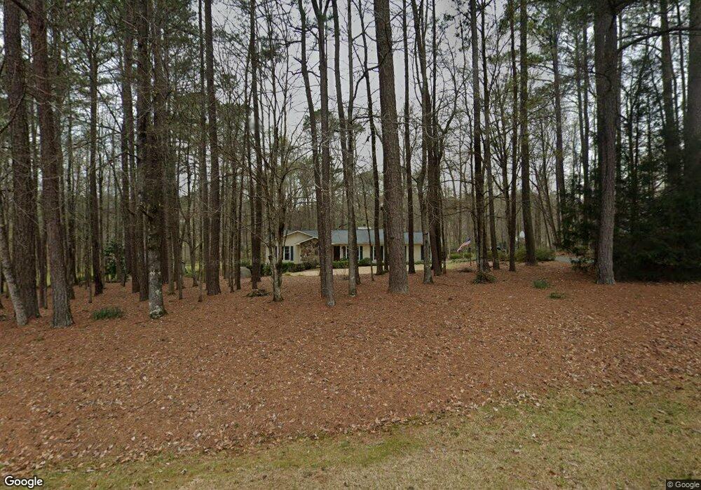
211 Mandy Brooke Dr Lagrange, GA 30241
Estimated Value: $218,040 - $291,000
3
Beds
2
Baths
1,505
Sq Ft
$162/Sq Ft
Est. Value
About This Home
This home is located at 211 Mandy Brooke Dr, Lagrange, GA 30241 and is currently estimated at $244,510, approximately $162 per square foot. 211 Mandy Brooke Dr is a home located in Troup County with nearby schools including Callaway Elementary School, Hogansville Elementary School, and Callaway Middle School.
Ownership History
Date
Name
Owned For
Owner Type
Purchase Details
Closed on
Sep 24, 1984
Sold by
Williamson Jon and Williamson Karen B
Bought by
Howell Donald C and Howell Dawn B
Current Estimated Value
Purchase Details
Closed on
Oct 12, 1979
Sold by
Jon L Williamson
Bought by
Williamson Jon and Williamson Karen B
Purchase Details
Closed on
Nov 17, 1976
Sold by
Asta Inc
Bought by
Jon L Williamson
Purchase Details
Closed on
Nov 15, 1975
Bought by
Asta Inc
Create a Home Valuation Report for This Property
The Home Valuation Report is an in-depth analysis detailing your home's value as well as a comparison with similar homes in the area
Purchase History
| Date | Buyer | Sale Price | Title Company |
|---|---|---|---|
| Howell Donald C | -- | -- | |
| Williamson Jon | -- | -- | |
| Jon L Williamson | -- | -- | |
| Asta Inc | -- | -- |
Source: Public Records
Tax History
| Year | Tax Paid | Tax Assessment Tax Assessment Total Assessment is a certain percentage of the fair market value that is determined by local assessors to be the total taxable value of land and additions on the property. | Land | Improvement |
|---|---|---|---|---|
| 2025 | $1,682 | $66,760 | $10,000 | $56,760 |
| 2024 | $1,530 | $58,080 | $10,000 | $48,080 |
| 2023 | $1,052 | $58,480 | $10,000 | $48,480 |
| 2022 | $1,463 | $54,400 | $8,000 | $46,400 |
| 2021 | $1,307 | $45,320 | $8,000 | $37,320 |
| 2020 | $1,307 | $45,320 | $8,000 | $37,320 |
| 2019 | $1,039 | $36,440 | $6,000 | $30,440 |
| 2018 | $1,033 | $36,240 | $5,800 | $30,440 |
| 2017 | $1,033 | $36,240 | $5,800 | $30,440 |
| 2016 | $1,037 | $36,364 | $5,800 | $30,564 |
| 2015 | $1,039 | $36,364 | $5,800 | $30,564 |
| 2014 | $992 | $34,755 | $5,800 | $28,955 |
| 2013 | -- | $36,435 | $5,800 | $30,635 |
Source: Public Records
Map
Nearby Homes
- SMOKEMONT Smokemont Dr
- 883 Hammett Rd
- 789 Hammett Rd
- 10 Whitfield Rd
- 300 Old Pond Rd
- 124 Woodridge Cir
- 119 Sir Lancelot St
- 105 Ridgefield Dr
- 200 Crestwood Dr
- 112 Celebration Blvd
- 101 Sheffield Dr
- 793 Celebration Blvd
- 509 Youngs Mill Rd
- 109 Sarah Ln
- 304 Bridgette Blvd
- 519 Tradition Place
- 517 Tradition Place
- 102 Canterbury Dr
- 129 Celebration Blvd
- 227 River Meadow Dr
- 183 Mandy Brooke Dr
- 235 Mandy Brooke Dr
- 218 Mandy Brooke Dr
- 24 Ridgeview Terrace
- 242 Mandy Brooke Dr
- 36 Ridgeview Terrace
- 125 Mandy Brooke Dr
- 261 Mandy Brooke Dr
- 200 Mandy Brooke Dr
- 99 Briarwood Dr
- 264 Mandy Brooke Dr
- 37 Ridgeview Terrace
- 140 Briarwood Dr
- 65 Briarwood Dr
- 96 Briarwood Dr
- 5 Smokemont Dr
- 0 Smokemont Dr Unit 8207036
- 100 Mandy Brooke Dr
- 250 Whitfield Rd
- 278 Whitfield Rd
Your Personal Tour Guide
Ask me questions while you tour the home.