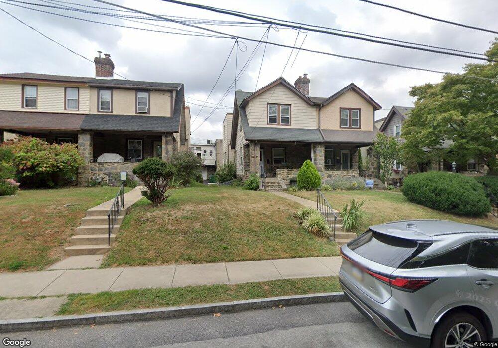
211 Marlboro Rd Ardmore, PA 19003
Estimated Value: $443,000 - $510,963
3
Beds
1
Bath
1,332
Sq Ft
$351/Sq Ft
Est. Value
About This Home
This home is located at 211 Marlboro Rd, Ardmore, PA 19003 and is currently estimated at $466,991, approximately $350 per square foot. 211 Marlboro Rd is a home located in Montgomery County with nearby schools including Penn Valley School, Welsh Valley Middle School, and Lower Merion High School.
Ownership History
Date
Name
Owned For
Owner Type
Purchase Details
Closed on
Sep 24, 2014
Sold by
Flach Kathleen M
Bought by
Koser John P and Koser Teresa L
Current Estimated Value
Purchase Details
Closed on
Jan 20, 1994
Sold by
Flach Kathleen M
Bought by
Flach Kathleen M
Create a Home Valuation Report for This Property
The Home Valuation Report is an in-depth analysis detailing your home's value as well as a comparison with similar homes in the area
Home Values in the Area
Average Home Value in this Area
Purchase History
| Date | Buyer | Sale Price | Title Company |
|---|---|---|---|
| Koser John P | $200,000 | None Available | |
| Flach Kathleen M | -- | -- |
Source: Public Records
Tax History Compared to Growth
Tax History
| Year | Tax Paid | Tax Assessment Tax Assessment Total Assessment is a certain percentage of the fair market value that is determined by local assessors to be the total taxable value of land and additions on the property. | Land | Improvement |
|---|---|---|---|---|
| 2025 | $5,384 | $128,950 | $42,350 | $86,600 |
| 2024 | $5,384 | $128,950 | $42,350 | $86,600 |
| 2023 | $5,160 | $128,950 | $42,350 | $86,600 |
| 2022 | $5,065 | $128,950 | $42,350 | $86,600 |
| 2021 | $4,950 | $128,950 | $42,350 | $86,600 |
| 2020 | $4,829 | $128,950 | $42,350 | $86,600 |
| 2019 | $4,744 | $128,950 | $42,350 | $86,600 |
| 2018 | $4,743 | $128,950 | $42,350 | $86,600 |
| 2017 | $4,569 | $128,950 | $42,350 | $86,600 |
| 2016 | $4,519 | $128,950 | $42,350 | $86,600 |
| 2015 | $4,213 | $128,950 | $42,350 | $86,600 |
| 2014 | $4,213 | $128,950 | $42,350 | $86,600 |
Source: Public Records
Map
Nearby Homes
- 14 Simpson Rd
- 383 Lakeside Rd Unit G2
- 383 Lakeside Rd Unit 105
- 101 Grandview Rd
- 1219 W Wynnewood Rd Unit 311
- 222 E Montgomery Ave Unit 304
- 140 Walnut Ave
- 1968 W Montgomery Ave
- 64 E Spring Ave
- 103 W Montgomery Ave Unit 1A
- 222 Lippincott Ave
- 1525 W Wynnewood Rd
- 264 W Montgomery Ave Unit 304
- 221 Ardmore Ave
- 442 E Spring Ave
- 818 Clifford Ave
- 2814 Saint Marys Rd
- 761 Hathaway Ln
- 754 Oak View Rd
- 237 W Montgomery Ave Unit 3R
- 209 Marlboro Rd
- 213 Marlboro Rd
- 207 Marlboro Rd Unit 269
- 215 Marlboro Rd
- 205 Marlboro Rd
- 217 Marlboro Rd
- 219 Marlboro Rd
- 203 Marlboro Rd
- 20 Wellington Rd
- 221 Marlboro Rd
- 22 Wellington Rd
- 202 E Lancaster Ave
- 15 Church Rd
- 223 Marlboro Rd
- 24 Wellington Rd
- 225 Marlboro Rd
- 26 Wellington Rd Unit 229
- 4 Church Rd
- 21 Wellington Rd
- 17 Church Rd