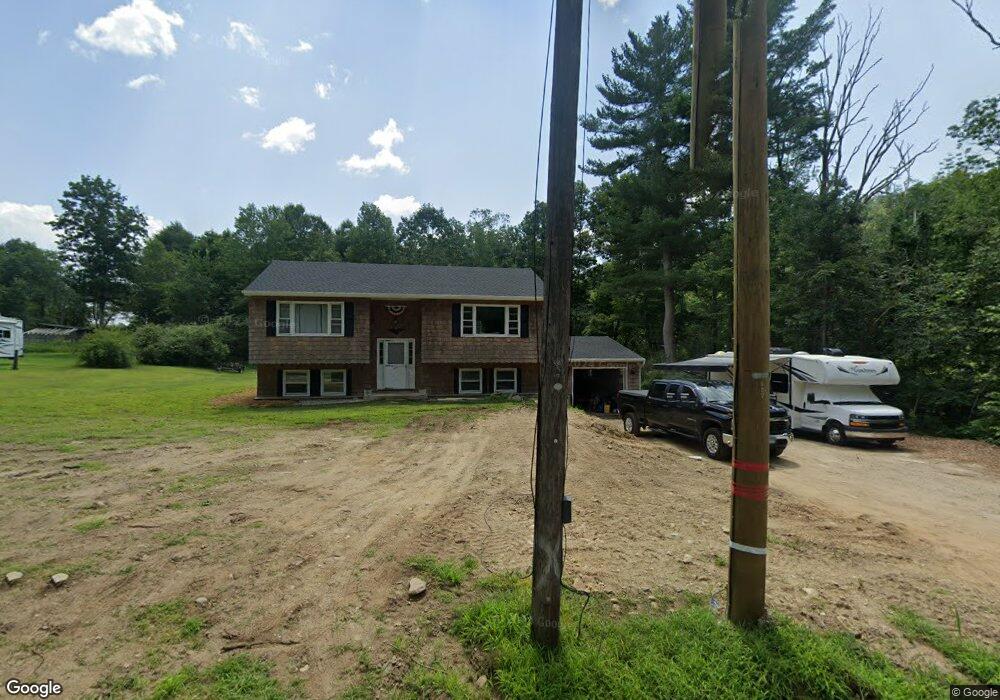
211 Mason Rd Brooklyn, CT 06234
Brooklyn NeighborhoodEstimated Value: $328,402 - $397,000
4
Beds
2
Baths
1,099
Sq Ft
$329/Sq Ft
Est. Value
About This Home
This home is located at 211 Mason Rd, Brooklyn, CT 06234 and is currently estimated at $361,601, approximately $329 per square foot. 211 Mason Rd is a home located in Windham County with nearby schools including Brooklyn Elementary School, Brooklyn Middle School, and Learning Clinic.
Ownership History
Date
Name
Owned For
Owner Type
Purchase Details
Closed on
May 22, 2023
Sold by
Danner Keri
Bought by
Cournoyer Wayne M
Current Estimated Value
Home Financials for this Owner
Home Financials are based on the most recent Mortgage that was taken out on this home.
Original Mortgage
$145,000
Outstanding Balance
$140,248
Interest Rate
6.28%
Mortgage Type
Purchase Money Mortgage
Estimated Equity
$221,353
Purchase Details
Closed on
Oct 2, 1981
Bought by
Blackard Robert D
Create a Home Valuation Report for This Property
The Home Valuation Report is an in-depth analysis detailing your home's value as well as a comparison with similar homes in the area
Home Values in the Area
Average Home Value in this Area
Purchase History
| Date | Buyer | Sale Price | Title Company |
|---|---|---|---|
| Cournoyer Wayne M | $165,000 | None Available | |
| Cournoyer Wayne M | $165,000 | None Available | |
| Cournoyer Wayne M | $165,000 | None Available | |
| Blackard Robert D | -- | -- |
Source: Public Records
Mortgage History
| Date | Status | Borrower | Loan Amount |
|---|---|---|---|
| Open | Cournoyer Wayne M | $145,000 | |
| Closed | Cournoyer Wayne M | $145,000 |
Source: Public Records
Tax History
| Year | Tax Paid | Tax Assessment Tax Assessment Total Assessment is a certain percentage of the fair market value that is determined by local assessors to be the total taxable value of land and additions on the property. | Land | Improvement |
|---|---|---|---|---|
| 2025 | $4,889 | $210,010 | $38,890 | $171,120 |
| 2024 | $3,737 | $126,500 | $28,400 | $98,100 |
| 2023 | $3,704 | $129,500 | $31,400 | $98,100 |
| 2022 | $3,559 | $129,500 | $31,400 | $98,100 |
| 2021 | $3,421 | $129,500 | $31,400 | $98,100 |
| 2020 | $3,624 | $125,300 | $38,700 | $86,600 |
| 2019 | $3,624 | $125,300 | $38,700 | $86,600 |
| 2018 | $3,520 | $125,300 | $38,700 | $86,600 |
| 2017 | $3,394 | $125,300 | $38,700 | $86,600 |
| 2016 | $3,300 | $125,300 | $38,700 | $86,600 |
| 2015 | $3,304 | $141,000 | $43,700 | $97,300 |
| 2014 | $3,304 | $141,000 | $43,700 | $97,300 |
Source: Public Records
Map
Nearby Homes
- 159 Old Tatnic Hill Rd
- 165 Old Tatnic Hill Rd Unit Lot 8-5
- 167 Old Tatnic Hill Rd Unit Lot 8-6
- 68 Anderson Rd
- 31 Mason Hill Rd
- 414 Canterbury Rd
- 43 Tatnic Hill Rd
- 106 Tripp Hollow Rd
- 94 Hartford Rd
- 38 Canterbury Rd
- 4 Short St
- 279 Gorman Rd
- 00 Wolf Den Rd
- 13 Cricket Ln
- 232 Paradise Dr
- Lot 89 Paradise Dr
- 105 Paradise Dr
- 67 Paradise Dr
- 26 Bass Ln
- 164 Paradise Dr
- 217 Mason Rd
- 203 Mason Rd
- 236 Mason Rd
- 192 Mason Rd
- 239 Mason Rd
- 279 Canterbury Rd
- 28 Blackwells Landing
- 249 Canterbury Rd
- 291 Canterbury Rd
- 0 Old Tatnic Hill Rd Unit E248981
- 00 Old Tatnic Hill Rd
- 0 Old Tatnic Hill Rd Unit E281015
- 0 Old Tatnic Hill Rd Unit G10193730
- 22 Blackwells Landing
- 21 Old Tatnic Hill Rd
- 18 Blackwells Landing
- 260 Canterbury Rd
- 270 Canterbury Rd
- 30 Blackwells Landing
- 280 Canterbury Rd
Your Personal Tour Guide
Ask me questions while you tour the home.