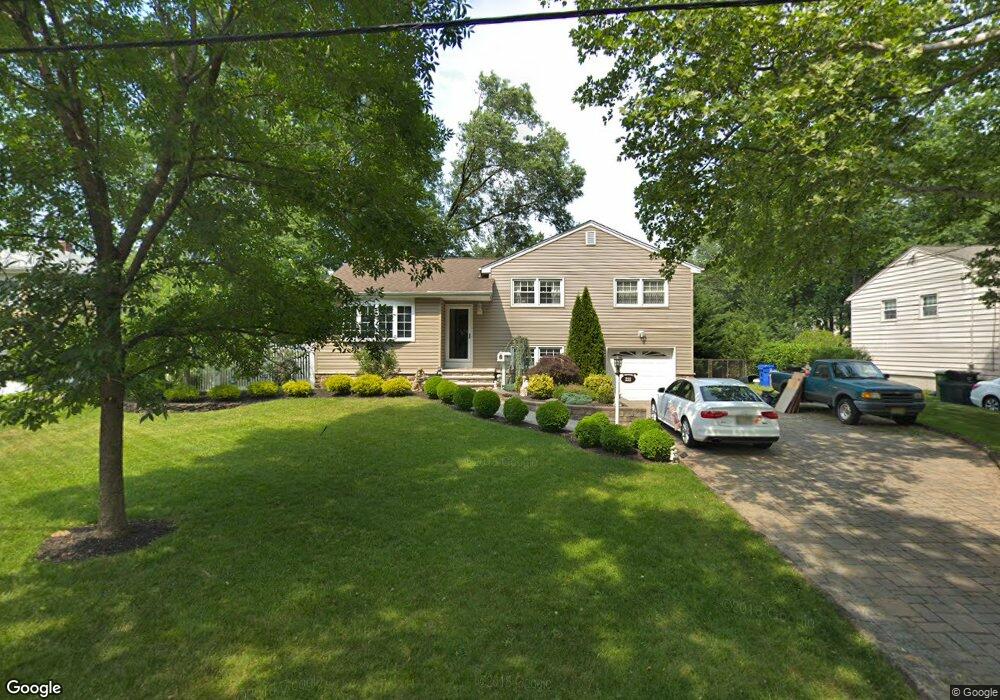
211 Mayfair Rd Paramus, NJ 07652
Estimated Value: $872,000 - $1,015,000
Studio
--
Bath
1,972
Sq Ft
$485/Sq Ft
Est. Value
About This Home
This home is located at 211 Mayfair Rd, Paramus, NJ 07652 and is currently estimated at $956,016, approximately $484 per square foot. 211 Mayfair Rd is a home located in Bergen County with nearby schools including Paramus High School, Alpine Learning Group, and Paramus Catholic High School.
Ownership History
Date
Name
Owned For
Owner Type
Purchase Details
Closed on
Sep 2, 1998
Sold by
Sottman Denise M
Bought by
Sottman Robert G
Current Estimated Value
Purchase Details
Closed on
Sep 16, 1993
Sold by
Choi Kyungae
Bought by
Sottman Robert and Sottman Denise
Home Financials for this Owner
Home Financials are based on the most recent Mortgage that was taken out on this home.
Original Mortgage
$156,000
Interest Rate
6.87%
Create a Home Valuation Report for This Property
The Home Valuation Report is an in-depth analysis detailing your home's value as well as a comparison with similar homes in the area
Home Values in the Area
Average Home Value in this Area
Purchase History
| Date | Buyer | Sale Price | Title Company |
|---|---|---|---|
| Sottman Robert G | -- | -- | |
| Sottman Robert | $195,000 | -- |
Source: Public Records
Mortgage History
| Date | Status | Borrower | Loan Amount |
|---|---|---|---|
| Closed | Sottman Robert | $156,000 |
Source: Public Records
Tax History
| Year | Tax Paid | Tax Assessment Tax Assessment Total Assessment is a certain percentage of the fair market value that is determined by local assessors to be the total taxable value of land and additions on the property. | Land | Improvement |
|---|---|---|---|---|
| 2025 | $10,005 | $704,600 | $412,200 | $292,400 |
| 2024 | $9,721 | $660,800 | $382,100 | $278,700 |
| 2023 | $9,225 | $633,700 | $364,600 | $269,100 |
| 2022 | $9,225 | $594,400 | $340,800 | $253,600 |
| 2021 | $9,003 | $544,300 | $310,700 | $233,600 |
| 2020 | $8,476 | $531,400 | $300,700 | $230,700 |
| 2019 | $7,378 | $397,500 | $274,800 | $122,700 |
| 2018 | $7,286 | $397,500 | $274,800 | $122,700 |
| 2017 | $7,159 | $397,500 | $274,800 | $122,700 |
| 2016 | $6,964 | $397,500 | $274,800 | $122,700 |
| 2015 | $6,893 | $397,500 | $274,800 | $122,700 |
| 2014 | $6,833 | $397,500 | $274,800 | $122,700 |
Source: Public Records
Map
Nearby Homes
- 218 Mayfair Rd
- 232 W Midland Ave
- 495 Paramus Rd
- 496 Cedar Ln
- 304 Blauvelt Ct
- 11 Gabriel Ct
- 14 Gabriel Ct
- 24 Gabriel Ct
- 16 Gabriel Ct
- 605 Craig Ave
- 602 Mill Run
- 491 Dorchester Rd
- 648 Falmouth Ave
- 47 Herold Dr
- 86 Azalea St
- 82 Azalea St
- 516 Stevens Ave
- 33 Beekman Place
- 596 Grove St
- 133 Morristown Place
- 207 Mayfair Rd
- 213 Mayfair Rd
- 204 Curley Ct
- 208 Curley Ct
- 217 Mayfair Rd
- 203 Mayfair Rd
- 212 Mayfair Rd
- 216 Mayfair Rd
- 210 Mayfair Rd
- 480 Kendrick St
- 212 Curley Ct
- 201 Mayfair Rd
- 221 Mayfair Rd
- 206 Mayfair Rd
- 222 Mayfair Rd
- 484 Kendrick St
- 204 Mayfair Rd
- 211 Morningside Rd
- 213 Morningside Rd
- 197 Mayfair Rd
Your Personal Tour Guide
Ask me questions while you tour the home.