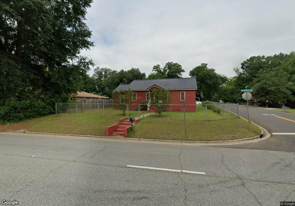
211 N Mock Rd Albany, GA 31705
Estimated Value: $64,000 - $81,846
4
Beds
2
Baths
1,766
Sq Ft
$42/Sq Ft
Est. Value
About This Home
This home is located at 211 N Mock Rd, Albany, GA 31705 and is currently estimated at $73,962, approximately $41 per square foot. 211 N Mock Rd is a home located in Dougherty County with nearby schools including Turner Elementary School, Albany Middle School, and Radium Springs Middle School.
Ownership History
Date
Name
Owned For
Owner Type
Purchase Details
Closed on
Oct 14, 1999
Sold by
Associates Home Equity Services Inc
Bought by
Johnson David Earl
Current Estimated Value
Purchase Details
Closed on
Aug 3, 1999
Sold by
Budkley J T & B/Do Co Sheriff & City Mar
Bought by
Loomis John A
Purchase Details
Closed on
May 4, 1999
Sold by
Buckley John T & Bonnie M By Atty In Fac
Bought by
Associates Home Equity Svcs Inc
Purchase Details
Closed on
Dec 5, 1987
Sold by
Hardy James T
Bought by
Buckley John and Buckley B
Purchase Details
Closed on
Jan 1, 1983
Create a Home Valuation Report for This Property
The Home Valuation Report is an in-depth analysis detailing your home's value as well as a comparison with similar homes in the area
Home Values in the Area
Average Home Value in this Area
Purchase History
| Date | Buyer | Sale Price | Title Company |
|---|---|---|---|
| Johnson David Earl | $35,000 | -- | |
| Loomis John A | -- | -- | |
| Associates Home Equity Svcs Inc | $37,600 | -- | |
| Buckley John | $48,000 | -- | |
| -- | $23,600 | -- |
Source: Public Records
Tax History Compared to Growth
Tax History
| Year | Tax Paid | Tax Assessment Tax Assessment Total Assessment is a certain percentage of the fair market value that is determined by local assessors to be the total taxable value of land and additions on the property. | Land | Improvement |
|---|---|---|---|---|
| 2024 | $966 | $22,252 | $1,880 | $20,372 |
| 2023 | $105 | $22,252 | $1,880 | $20,372 |
| 2022 | $947 | $22,252 | $1,880 | $20,372 |
| 2021 | $878 | $22,252 | $1,880 | $20,372 |
| 2020 | $880 | $22,252 | $1,880 | $20,372 |
| 2019 | $883 | $22,252 | $1,880 | $20,372 |
| 2018 | $887 | $22,252 | $1,880 | $20,372 |
| 2017 | $826 | $22,252 | $1,880 | $20,372 |
| 2016 | $827 | $22,252 | $1,880 | $20,372 |
| 2015 | $829 | $22,252 | $1,880 | $20,372 |
| 2014 | $819 | $22,252 | $1,880 | $20,372 |
Source: Public Records
Map
Nearby Homes
- 306 Elsom St
- 307 Acorn St
- 2215 E Broad Ave
- 234 Cone St
- 309 Acorn St
- 2523 Cherokee Dr
- 410 Johnson Rd
- 308 Forrestal Ln
- 119 N West Rd
- 513 Johnson Rd
- 2725 Yorktown Ave
- 148 Force Dr
- 1532 E Broad Ave
- 2802 Banks Ave
- 405 Pine Bluff Rd
- 410 Cason St
- 3007 E Park Ct
- 1418 E Roosevelt Ave
- 608 Cason St
- 1410 E Roosevelt Ave