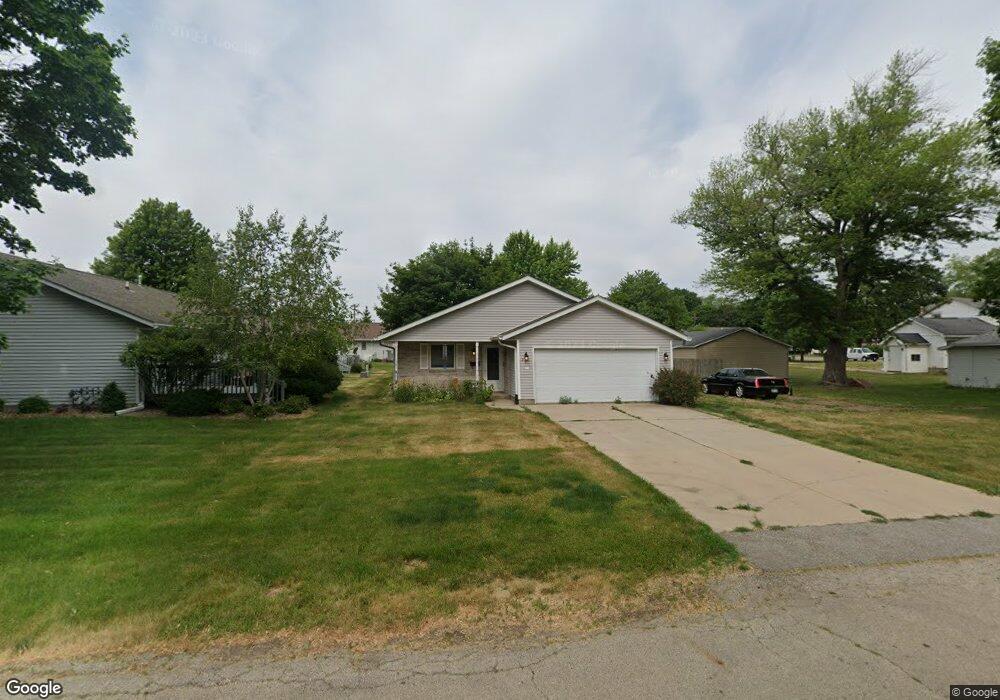
211 N Spring St Unit 10 Geneseo, IL 61254
Estimated Value: $185,000 - $213,000
2
Beds
2
Baths
1,400
Sq Ft
$143/Sq Ft
Est. Value
About This Home
This home is located at 211 N Spring St Unit 10, Geneseo, IL 61254 and is currently estimated at $200,500, approximately $143 per square foot. 211 N Spring St Unit 10 is a home located in Henry County with nearby schools including Geneseo High School and St. Malachy School.
Ownership History
Date
Name
Owned For
Owner Type
Purchase Details
Closed on
Aug 5, 2021
Sold by
Blomquist Marylane Neubauer
Bought by
Blomquist Marylane Neubauer
Current Estimated Value
Purchase Details
Closed on
Dec 7, 2010
Sold by
Davidson Robert E and Davidson Dorothy L
Bought by
Blomquist Marylane
Home Financials for this Owner
Home Financials are based on the most recent Mortgage that was taken out on this home.
Original Mortgage
$100,000
Outstanding Balance
$67,499
Interest Rate
4.65%
Mortgage Type
New Conventional
Estimated Equity
$133,001
Create a Home Valuation Report for This Property
The Home Valuation Report is an in-depth analysis detailing your home's value as well as a comparison with similar homes in the area
Home Values in the Area
Average Home Value in this Area
Purchase History
| Date | Buyer | Sale Price | Title Company |
|---|---|---|---|
| Blomquist Marylane Neubauer | -- | None Available | |
| Blomquist Marylane | $125,000 | None Available |
Source: Public Records
Mortgage History
| Date | Status | Borrower | Loan Amount |
|---|---|---|---|
| Open | Blomquist Marylane | $100,000 |
Source: Public Records
Tax History Compared to Growth
Tax History
| Year | Tax Paid | Tax Assessment Tax Assessment Total Assessment is a certain percentage of the fair market value that is determined by local assessors to be the total taxable value of land and additions on the property. | Land | Improvement |
|---|---|---|---|---|
| 2024 | $3,980 | $59,965 | $3,821 | $56,144 |
| 2023 | $3,459 | $54,613 | $3,480 | $51,133 |
| 2022 | $3,231 | $50,755 | $3,234 | $47,521 |
| 2021 | $3,142 | $49,469 | $3,152 | $46,317 |
| 2020 | $3,136 | $49,928 | $3,181 | $46,747 |
| 2019 | $3,028 | $49,373 | $3,146 | $46,227 |
| 2018 | $2,872 | $42,255 | $2,974 | $39,281 |
| 2017 | $2,689 | $41,185 | $2,899 | $38,286 |
| 2016 | $2,793 | $40,142 | $2,826 | $37,316 |
| 2015 | $2,269 | $40,062 | $2,820 | $37,242 |
| 2013 | $2,269 | $39,312 | $2,768 | $36,544 |
Source: Public Records
Map
Nearby Homes
- 417 E Orange St
- 227 N State St
- 549 E Park St
- 522 N State St
- 623 E Park St
- 19025 Bluff Rd
- 326 N Vail St
- 139 N Vail St
- 127 N Vail St
- 513 E Pearl St
- 407 N Chicago St
- 336 E Ogden Ave
- 629 W Wells St
- 317 E South St
- 101 S Stewart St
- 608 S Oakwood Ave
- 513 W Elk St
- 228 E Locust St
- 335 S Stewart St
- 803 Darnell Dr
- 317 E Orange St
- 318 E Park St
- 314 E Park St
- 315 E Orange St
- 315 E Orange St Unit 5
- 313 E Orange St
- 220 N Spring St
- 216 N Russell Ave
- 214 N Russell Ave
- 333 E Orange St
- 206 N Russell Ave
- 316 E Orange St
- 204 N Russell Ave
- 212 N Russell Ave
- 202 N Russell Ave
- 332 E Park St
- 310 E Orange St
- 126 N Spring St
- 123 N Spring St
- 118 N Russell Ave