211 Patch Rd Contoocook, NH 03229
Estimated Value: $786,000 - $944,000
3
Beds
3
Baths
3,336
Sq Ft
$264/Sq Ft
Est. Value
About This Home
This home is located at 211 Patch Rd, Contoocook, NH 03229 and is currently estimated at $879,352, approximately $263 per square foot. 211 Patch Rd is a home with nearby schools including Harold Martin School, Maple Street Elementary School, and Hopkinton Middle School.
Ownership History
Date
Name
Owned For
Owner Type
Purchase Details
Closed on
Apr 21, 2025
Sold by
Edwin E Ricker Ret and Cambridge Tcom Tr
Bought by
Dupell Thomas P and Dupell Carrie L
Current Estimated Value
Purchase Details
Closed on
May 27, 2016
Sold by
Caroline M Fenollosa R M and Caroline Fenollosa
Bought by
Dupell Carrie and Dupell Thomas P
Create a Home Valuation Report for This Property
The Home Valuation Report is an in-depth analysis detailing your home's value as well as a comparison with similar homes in the area
Home Values in the Area
Average Home Value in this Area
Purchase History
| Date | Buyer | Sale Price | Title Company |
|---|---|---|---|
| Dupell Thomas P | $157,000 | None Available | |
| Dupell Thomas P | $157,000 | None Available | |
| Dupell Carrie | $91,533 | -- | |
| Dupell Carrie | $91,533 | -- |
Source: Public Records
Tax History
| Year | Tax Paid | Tax Assessment Tax Assessment Total Assessment is a certain percentage of the fair market value that is determined by local assessors to be the total taxable value of land and additions on the property. | Land | Improvement |
|---|---|---|---|---|
| 2025 | $18,320 | $784,600 | $206,800 | $577,800 |
| 2024 | $17,175 | $784,600 | $206,800 | $577,800 |
| 2023 | $13,668 | $390,300 | $99,500 | $290,800 |
| 2022 | $12,587 | $390,300 | $99,500 | $290,800 |
| 2020 | $9,562 | $326,900 | $99,500 | $227,400 |
| 2019 | $9,056 | $311,000 | $99,500 | $211,500 |
| 2018 | $3,700 | $106,500 | $86,500 | $20,000 |
| 2017 | $67 | $1,942 | $1,942 | $0 |
| 2016 | $65 | $1,942 | $1,942 | $0 |
| 2015 | $65 | $1,943 | $1,943 | $0 |
| 2014 | $65 | $1,991 | $1,991 | $0 |
| 2013 | $66 | $2,301 | $2,301 | $0 |
Source: Public Records
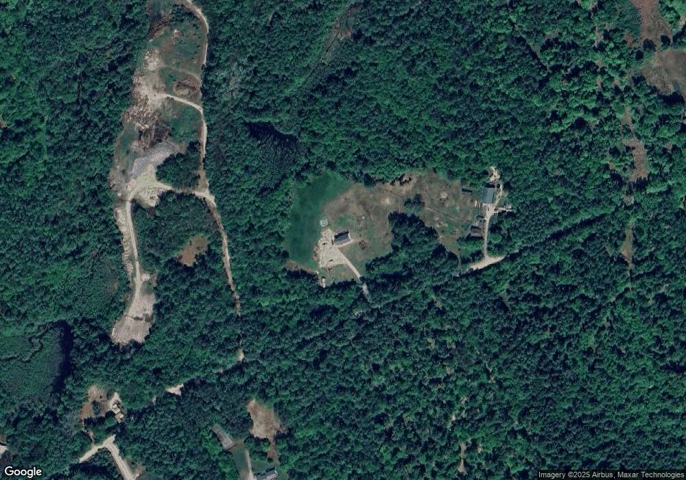
Map
Nearby Homes
- 21 Gould Hill Rd
- 36 Old Henniker Rd
- 68 Woodwells Garrison Rd
- 22 Indian Ridge Rd
- 455 Maple St
- 82 Penacook Rd
- 541 South Rd
- 56 Maple St Unit C
- 6 Reserve Place
- 1136 Penacook Rd
- 464 Irish Hill Rd
- 306 River Grant Dr
- 5 Pamela Dr
- 67 Stacey Dr
- 18 Stacey Dr
- 176 Deer Path
- 155 Pamela Dr
- 100 Stacey Dr
- 30 Evergreen Ln
- 15 Edgewood Dr
- 265 Patch Rd
- 101 Patch Rd
- 31 Willoughby Rd
- 666 Briar Hill Rd
- 576 Briar Hill Rd
- 51 Willoughby Rd
- 643 Briar Hill Rd
- 54 Willoughby Rd
- 363 Patch Rd
- 97 Willoughby Rd
- 58 Willoughby Rd
- 579 Briar Hill Rd
- 675 Briar Hill Rd
- 00 Patch Rd
- Lot 3 Patch Rd
- 522 Briar Hill Rd
- 98 Willoughby Rd
- 98 Willoughby Rd
- 549 Briar Hill Rd
- 525 Briar Hill Rd
Your Personal Tour Guide
Ask me questions while you tour the home.