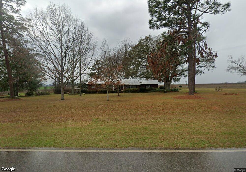
211 Patrick Rd Quitman, GA 31643
Estimated Value: $779,000
3
Beds
2
Baths
1,984
Sq Ft
$393/Sq Ft
Est. Value
About This Home
This home is located at 211 Patrick Rd, Quitman, GA 31643 and is currently estimated at $779,000, approximately $392 per square foot. 211 Patrick Rd is a home located in Brooks County with nearby schools including Quitman Elementary School and First Baptist Church Preschool & Kindergarten.
Ownership History
Date
Name
Owned For
Owner Type
Purchase Details
Closed on
Apr 19, 2019
Sold by
Patrick Julie
Bought by
Patrick Kerry
Current Estimated Value
Purchase Details
Closed on
Apr 18, 2019
Sold by
Lee Patrick Waymon
Bought by
Chase Patrick Kerry and Chase Patrick
Purchase Details
Closed on
Jan 27, 2014
Sold by
Lee Waymon
Bought by
Conservation Use Covenant Recording
Purchase Details
Closed on
May 20, 2013
Sold by
Lee Waymon
Bought by
Conservation Use Covenant Recording
Purchase Details
Closed on
Aug 17, 2012
Sold by
Patrick Road Farms
Bought by
Patrick Road Farms and Patrick Waymon Lee
Purchase Details
Closed on
Jan 5, 2001
Sold by
Patrick Waymon L
Bought by
Patrick Road Farms Lp
Create a Home Valuation Report for This Property
The Home Valuation Report is an in-depth analysis detailing your home's value as well as a comparison with similar homes in the area
Purchase History
| Date | Buyer | Sale Price | Title Company |
|---|---|---|---|
| Patrick Kerry | -- | -- | |
| Patrick Julie | -- | -- | |
| Chase Patrick Kerry | -- | -- | |
| Conservation Use Covenant Recording | -- | -- | |
| Conservation Use Covenant Recording | -- | -- | |
| Patrick Road Farms | -- | -- | |
| Patrick Road Farms Lp | -- | -- |
Source: Public Records
Tax History
| Year | Tax Paid | Tax Assessment Tax Assessment Total Assessment is a certain percentage of the fair market value that is determined by local assessors to be the total taxable value of land and additions on the property. | Land | Improvement |
|---|---|---|---|---|
| 2025 | $1,030 | $217,320 | $217,320 | $0 |
| 2024 | $1,001 | $217,320 | $217,320 | $0 |
| 2023 | $973 | $187,480 | $187,480 | $0 |
| 2022 | $1,035 | $179,760 | $179,760 | $0 |
| 2021 | $1,013 | $152,080 | $152,080 | $0 |
| 2020 | $4,224 | $152,080 | $152,080 | $0 |
| 2019 | $1,924 | $145,480 | $109,360 | $36,120 |
| 2018 | $4,161 | $142,480 | $105,760 | $36,720 |
| 2017 | $1,856 | $141,040 | $105,760 | $35,280 |
| 2016 | $1,878 | $141,640 | $105,760 | $35,880 |
| 2015 | -- | $141,880 | $105,760 | $36,120 |
| 2014 | -- | $143,040 | $105,760 | $37,280 |
| 2013 | -- | $148,560 | $111,280 | $37,280 |
Source: Public Records
Map
Nearby Homes
- 1306 E Screven St
- 237 Turkey Ridge Ln
- 714 Morris Ave
- 506 Oglesby St
- 0 E Gordon St
- 700 N Washington St
- 103 Victorian Way
- 807 N Court St
- 606 N Court St
- Lot 14 Dawn Ln
- 203 W Gordon St
- 0 W Swamp St
- 0 Madison Hwy Unit 26460639
- 0 Madison Hwy Unit 147194
- 471 Jamar Trail
- 295 Sunflower Trail
- 1001 W Bartow St
- 4036 Prairie Trail
- 1521 Mount Carmel Chuch Rx
- 890 Ramblin Rd
Your Personal Tour Guide
Ask me questions while you tour the home.