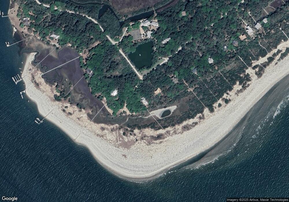
211 Pelican Flight Dr Dewees Island, SC 29451
Estimated Value: $416,000 - $1,878,000
5
Beds
4
Baths
3,236
Sq Ft
$389/Sq Ft
Est. Value
About This Home
This home is located at 211 Pelican Flight Dr, Dewees Island, SC 29451 and is currently estimated at $1,257,470, approximately $388 per square foot. 211 Pelican Flight Dr is a home located in Charleston County with nearby schools including Sullivans Island Elementary School, Moultrie Middle School, and Wando High School.
Ownership History
Date
Name
Owned For
Owner Type
Purchase Details
Closed on
Sep 16, 2005
Sold by
Royall Edward M and Rogers Thomas E
Bought by
Second Seewed Llc
Current Estimated Value
Purchase Details
Closed on
Jul 18, 2001
Sold by
Rogers Thomas E and Royall Edward M
Bought by
Royall Edward M and Ely Duncan Cairnes
Purchase Details
Closed on
Jul 16, 2001
Sold by
Rogers Thomas E and Royall Edward M
Bought by
Rogers Thomas E and Ely Duncan Cairnes
Purchase Details
Closed on
Jul 12, 2001
Sold by
Rogers Thomas E and Royall Edward M
Bought by
Royall Edward M and Ely Duncan Caimes
Create a Home Valuation Report for This Property
The Home Valuation Report is an in-depth analysis detailing your home's value as well as a comparison with similar homes in the area
Home Values in the Area
Average Home Value in this Area
Purchase History
| Date | Buyer | Sale Price | Title Company |
|---|---|---|---|
| Second Seewed Llc | $850,000 | -- | |
| Royall Edward M | -- | -- | |
| Rogers Thomas E | -- | -- | |
| Royall Edward M | -- | -- |
Source: Public Records
Tax History Compared to Growth
Tax History
| Year | Tax Paid | Tax Assessment Tax Assessment Total Assessment is a certain percentage of the fair market value that is determined by local assessors to be the total taxable value of land and additions on the property. | Land | Improvement |
|---|---|---|---|---|
| 2024 | $9,174 | $44,100 | $0 | $0 |
| 2023 | $9,174 | $44,100 | $0 | $0 |
| 2022 | $8,534 | $44,100 | $0 | $0 |
| 2021 | $8,418 | $44,100 | $0 | $0 |
| 2020 | $8,281 | $44,100 | $0 | $0 |
| 2019 | $8,530 | $43,220 | $0 | $0 |
| 2017 | $8,112 | $43,220 | $0 | $0 |
| 2016 | $7,742 | $43,220 | $0 | $0 |
| 2015 | $7,305 | $43,220 | $0 | $0 |
| 2014 | $14,174 | $0 | $0 | $0 |
| 2011 | -- | $0 | $0 | $0 |
Source: Public Records
Map
Nearby Homes
- 211 Pelican Flight Dr Unit 1/6th Share
- 260 Pelican Flight Dr Unit Lot 76
- 201 Pelican Flight Dr Unit Lot 8
- 133 Dewees Inlet Dr
- 143 Dewees Inlet Dr
- 153 Dewees Inlet Dr
- 284 Pelican Flight Dr
- 311 Pelican Flight Dr
- 226 Old House Ln
- 242 Old House Ln
- 362 Pelican Flight Dr
- 266 Old House Ln Unit 120
- 42 Ocean Point Dr
- 24 Commons Ct
- 27 Ocean Point Dr
- 16 Links Clubhouse Villas
- 8 Seagrass Ln
- 318 Old House Ln Unit Lot 109
- 9002 Palmetto Drive #514 1 13 Share
- 9002 Palmetto Dr Unit 516
- 211 Pelican Flight Dr Unit 1/8 Share
- 10-B Dewees Inlet Dr Unit Lot 10-B
- Lot 7 Pelican Flight Dr
- 14 Pelican Flight Dr
- 71 Pelican Flight
- 7 Pelican Flight Dr
- Lot 3 Pelican Flight Dr
- 205 Pelican Flight Dr
- 10 Pelican Flight
- 10 Pelican Flight Unit B
- 7 Dewees Inlet Dr
- 201 Pelican Flight Dr
- 219 Pelican Flight Dr Unit Lot 11 Di
- 219 Pelican Flight Dr
- 103 Dewees Inlet Dr
- 1 Pelican Flight Dr
- 227 Pelican Flight Dr
- 113 Dewees Inlet Dr
- 3 Pelican Flight Dr
- 239 Pelican Flight Dr
