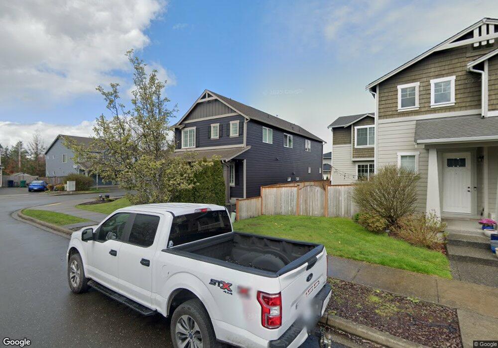
211 Petersen Dr E Enumclaw, WA 98022
Estimated Value: $616,000 - $662,000
4
Beds
3
Baths
2,713
Sq Ft
$236/Sq Ft
Est. Value
About This Home
This home is located at 211 Petersen Dr E, Enumclaw, WA 98022 and is currently estimated at $639,279, approximately $235 per square foot. 211 Petersen Dr E is a home located in King County with nearby schools including Southwood Elementary School, Enumclaw Middle School, and Enumclaw Senior High School.
Ownership History
Date
Name
Owned For
Owner Type
Purchase Details
Closed on
May 13, 2011
Sold by
Stam Graff Rena
Bought by
Stam Ren
Current Estimated Value
Home Financials for this Owner
Home Financials are based on the most recent Mortgage that was taken out on this home.
Original Mortgage
$262,800
Outstanding Balance
$185,300
Interest Rate
5.2%
Mortgage Type
Adjustable Rate Mortgage/ARM
Estimated Equity
$453,979
Purchase Details
Closed on
Oct 21, 2008
Sold by
Cambria Homes Llc
Bought by
Stam Graff Rene
Home Financials for this Owner
Home Financials are based on the most recent Mortgage that was taken out on this home.
Original Mortgage
$315,425
Interest Rate
5.77%
Create a Home Valuation Report for This Property
The Home Valuation Report is an in-depth analysis detailing your home's value as well as a comparison with similar homes in the area
Home Values in the Area
Average Home Value in this Area
Purchase History
| Date | Buyer | Sale Price | Title Company |
|---|---|---|---|
| Stam Ren | -- | Northwest Titl | |
| Stam Graff Rene | $322,400 | Chicago Title |
Source: Public Records
Mortgage History
| Date | Status | Borrower | Loan Amount |
|---|---|---|---|
| Open | Stam Ren | $262,800 | |
| Previous Owner | Stam Graff Rene | $315,425 |
Source: Public Records
Tax History
| Year | Tax Paid | Tax Assessment Tax Assessment Total Assessment is a certain percentage of the fair market value that is determined by local assessors to be the total taxable value of land and additions on the property. | Land | Improvement |
|---|---|---|---|---|
| 2024 | $5,588 | $582,000 | $202,000 | $380,000 |
| 2023 | $5,185 | $499,000 | $174,000 | $325,000 |
| 2022 | $4,639 | $570,000 | $199,000 | $371,000 |
| 2021 | $4,386 | $462,000 | $172,000 | $290,000 |
| 2020 | $4,004 | $398,000 | $129,000 | $269,000 |
| 2018 | $4,231 | $366,000 | $118,000 | $248,000 |
| 2017 | $3,755 | $345,000 | $108,000 | $237,000 |
| 2016 | $3,693 | $316,000 | $100,000 | $216,000 |
| 2015 | $3,555 | $306,000 | $95,000 | $211,000 |
| 2014 | -- | $282,000 | $100,000 | $182,000 |
| 2013 | -- | $217,000 | $80,000 | $137,000 |
Source: Public Records
Map
Nearby Homes
- 385 Bruhn Ln N
- 176 Love Dr
- 413 Becky Ave E
- 629 Barquist Ln N
- 643 Barquist Ln N
- 657 Barquist Ln N
- 685 Barquist Ln N
- 505 Thompson (Lot 1) Dr
- 527 Thompson (Lot 2) Dr
- 508 Thompson (Lot 22) Dr
- 549 Thompson (Lot 3) Dr
- 571 Thompson (Lot 4) Dr
- 615 Thompson (Lot 6) Dr
- 721 Weaver Dr E
- 637 Thompson (Lot 7) Dr
- 755 Weaver Dr E
- 746 Weaver Dr E
- 783 Weaver Dr E
- 769 Weaver Dr E
- 760 Weaver Dr E
- 0 Asmundson Ln N Unit 111561
- 245 Petersen Dr E
- 212 Bondgard Ave E
- 2 Bruhn Dr E
- 224 Bondgard Ave E
- 416 Asmundson Ln N
- 404 Asmundson Ln N
- 210 Petersen Dr E
- 438 Asmundson Ln N
- 222 Petersen Dr E
- 246 Bondgard Ave E
- 257 Petersen Dr E
- 2 Riggs Dr E
- 372 Asmundson Ln N
- 1789 Bondgard Ave E
- 244 Petersen Dr E
- 450 Asmundson Ln N
- 258 Bondgard Ave E
Your Personal Tour Guide
Ask me questions while you tour the home.