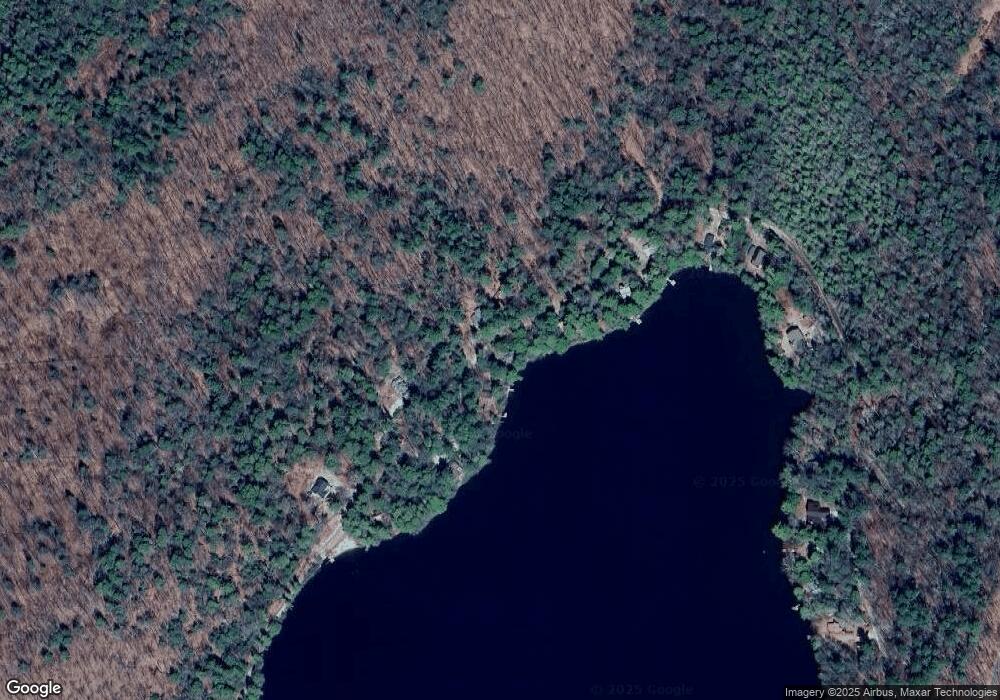
211 Pinehurst Rd West Hartland, CT 06091
East Riverton NeighborhoodEstimated Value: $354,000 - $547,000
3
Beds
2
Baths
1,162
Sq Ft
$398/Sq Ft
Est. Value
About This Home
This home is located at 211 Pinehurst Rd, West Hartland, CT 06091 and is currently estimated at $462,627, approximately $398 per square foot. 211 Pinehurst Rd is a home located in Hartford County with nearby schools including Hartland School.
Ownership History
Date
Name
Owned For
Owner Type
Purchase Details
Closed on
Jul 24, 2017
Sold by
King Judith T
Bought by
King Judith T and King Jonathan B
Current Estimated Value
Purchase Details
Closed on
Apr 5, 2004
Sold by
Somers Mary
Bought by
King Judith
Create a Home Valuation Report for This Property
The Home Valuation Report is an in-depth analysis detailing your home's value as well as a comparison with similar homes in the area
Home Values in the Area
Average Home Value in this Area
Purchase History
| Date | Buyer | Sale Price | Title Company |
|---|---|---|---|
| King Judith T | -- | -- | |
| King Judith | $190,000 | -- | |
| King Judith T | -- | -- | |
| King Judith | $190,000 | -- |
Source: Public Records
Mortgage History
| Date | Status | Borrower | Loan Amount |
|---|---|---|---|
| Previous Owner | King Judith | $200,000 | |
| Previous Owner | King Judith | $276,000 |
Source: Public Records
Tax History Compared to Growth
Tax History
| Year | Tax Paid | Tax Assessment Tax Assessment Total Assessment is a certain percentage of the fair market value that is determined by local assessors to be the total taxable value of land and additions on the property. | Land | Improvement |
|---|---|---|---|---|
| 2025 | $8,623 | $295,800 | $178,500 | $117,300 |
| 2024 | $8,208 | $295,800 | $178,500 | $117,300 |
| 2023 | $8,061 | $295,800 | $178,500 | $117,300 |
| 2022 | $7,987 | $295,800 | $178,500 | $117,300 |
| 2021 | $7,987 | $295,800 | $178,500 | $117,300 |
| 2020 | $7,905 | $287,460 | $182,000 | $105,460 |
| 2019 | $7,905 | $287,460 | $182,000 | $105,460 |
| 2018 | $7,618 | $287,460 | $182,000 | $105,460 |
| 2017 | $7,618 | $287,460 | $182,000 | $105,460 |
| 2016 | $7,330 | $287,460 | $182,000 | $105,460 |
| 2015 | $7,723 | $302,860 | $196,000 | $106,860 |
| 2014 | $7,420 | $302,860 | $196,000 | $106,860 |
Source: Public Records
Map
Nearby Homes
- 12 Pinehurst Rd
- 266 Old Forge Rd
- 186 Mill St
- 280 Center St
- 0 Center St
- 196 Center St
- Lot 15 Colebrook River Rd
- 265 Fox Den Rd
- 0 Covell Unit 73427357
- 6 Hamill Ln
- 0 E Otter Dr
- 117 Beetle Rd
- 11 Hartland Rd
- 494 Riverton Rd
- 136 E Otter Dr
- 1282 Burt Hill Rd
- 32 Woodchuck Hollow
- 590 Colebrook River Rd
- TS12 &TTR8 Slope Rd & Traack
- 320 Colebrook River Rd
- 203 Pinehurst Rd
- 193 Pinehurst Rd
- 223 Pinehurst Rd
- 189 Pinehurst Rd
- 183 Pinehurst Rd
- 237 Pinehurst Rd
- 182 Pinehurst Rd
- 172 Pinehurst Rd
- 247 Pinehurst Rd
- 171 Pinehurst Rd
- 249 Pinehurst Rd
- 165 Pinehurst Rd
- 170 Pinehurst Rd
- 255 Pinehurst Rd
- 259 Pinehurst Rd
- 159 Pinehurst Rd
- 158 Pinehurst Rd
- 16 Wilderness Rd
- 149 Pinehurst Rd
- 181 Pinehurst Rd
