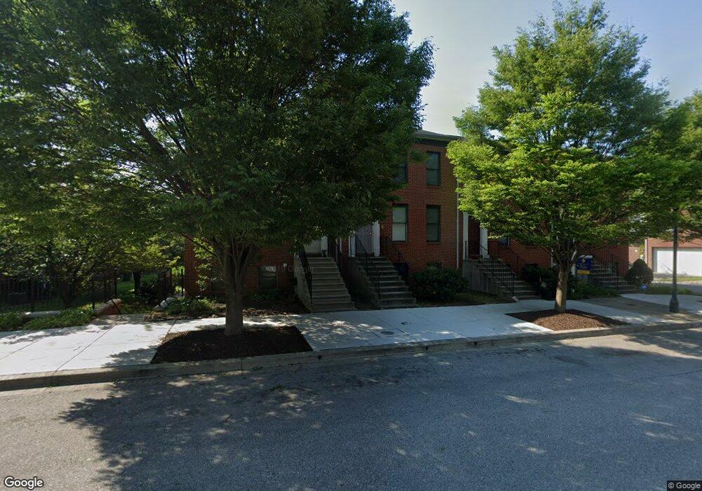
211 Presstman St Baltimore, MD 21217
Bolton Hill NeighborhoodEstimated Value: $225,743 - $230,000
--
Bed
3
Baths
1,240
Sq Ft
$184/Sq Ft
Est. Value
About This Home
This home is located at 211 Presstman St, Baltimore, MD 21217 and is currently estimated at $227,872, approximately $183 per square foot. 211 Presstman St is a home located in Baltimore City with nearby schools including Mount Royal Elementary/Middle School, Booker T. Washington Middle School, and Frederick Douglass High School.
Ownership History
Date
Name
Owned For
Owner Type
Purchase Details
Closed on
Jan 12, 2021
Sold by
Pitts Jonathan M
Bought by
Kim Jiho
Current Estimated Value
Home Financials for this Owner
Home Financials are based on the most recent Mortgage that was taken out on this home.
Original Mortgage
$167,061
Interest Rate
2.67%
Mortgage Type
Balloon
Purchase Details
Closed on
Jun 6, 2001
Sold by
Spicer'S Run Llc
Bought by
Pitts Jonathan M
Create a Home Valuation Report for This Property
The Home Valuation Report is an in-depth analysis detailing your home's value as well as a comparison with similar homes in the area
Home Values in the Area
Average Home Value in this Area
Purchase History
| Date | Buyer | Sale Price | Title Company |
|---|---|---|---|
| Kim Jiho | -- | Bridge Ellen Fishier | |
| Pitts Jonathan M | $169,639 | -- |
Source: Public Records
Mortgage History
| Date | Status | Borrower | Loan Amount |
|---|---|---|---|
| Previous Owner | Kim Jiho | $167,061 |
Source: Public Records
Tax History Compared to Growth
Tax History
| Year | Tax Paid | Tax Assessment Tax Assessment Total Assessment is a certain percentage of the fair market value that is determined by local assessors to be the total taxable value of land and additions on the property. | Land | Improvement |
|---|---|---|---|---|
| 2025 | $5,257 | $224,600 | $50,000 | $174,600 |
| 2024 | $5,257 | $223,800 | $0 | $0 |
| 2023 | $5,238 | $223,000 | $0 | $0 |
| 2022 | $5,244 | $222,200 | $50,000 | $172,200 |
| 2021 | $5,020 | $212,700 | $0 | $0 |
| 2020 | $4,269 | $203,200 | $0 | $0 |
| 2019 | $4,143 | $193,700 | $50,000 | $143,700 |
| 2018 | $4,212 | $193,700 | $50,000 | $143,700 |
| 2017 | $4,258 | $193,700 | $0 | $0 |
| 2016 | $4,757 | $196,200 | $0 | $0 |
| 2015 | $4,757 | $196,200 | $0 | $0 |
| 2014 | $4,757 | $196,200 | $0 | $0 |
Source: Public Records
Map
Nearby Homes
- 339 Bloom St
- 835 Lennox St
- 1906 Madison Ave
- 819 Lennox St
- 817 Lennox St
- 2024 Bolton St
- 811 Lennox St
- 1917 Mcculloh St
- 1726 Linden Ave
- 2028 Bolton St
- 2034 Bolton St
- 2023 Bolton St
- 2050 Linden Ave Unit B
- 742 Watts St
- 740 Watts St
- 2103 Mcculloh St
- 1908 Mcculloh St
- 2115 Mcculloh St
- 1746 Park Ave
- 1816 Mcculloh St
- 213 Presstman St
- 215 Presstman St
- 1918 Linden Ave
- 1920 Linden Ave
- 1916 Linden Ave
- 217 Presstman St
- 1914 Linden Ave
- 1912 Linden Ave
- 1910 Linden Ave
- 1908 Linden Ave
- 1906 Linden Ave
- 1929 Eutaw Place
- 1927 Eutaw Place
- 1931 Eutaw Place
- 210 Presstman St
- 1925 Eutaw Place
- 212 Presstman St
- 208 Presstman St
- 1933 Eutaw Place
- 214 Presstman St