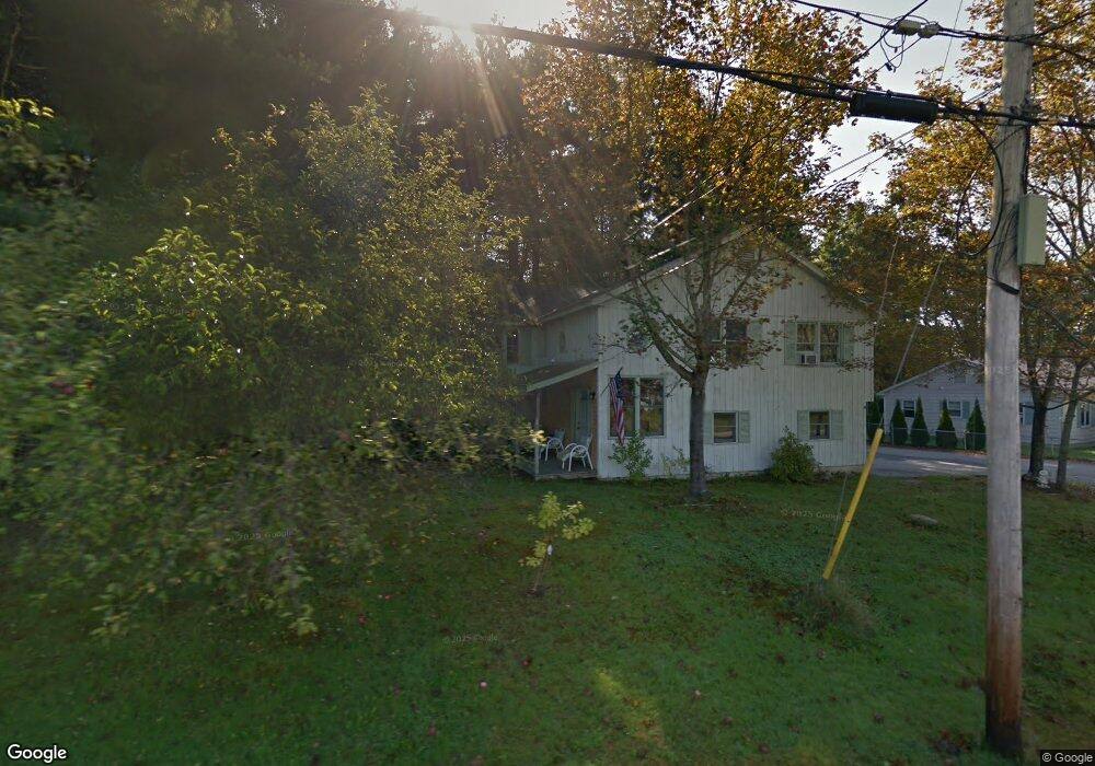
211 River Rd Eliot, ME 03903
South Eliot NeighborhoodEstimated Value: $662,261 - $811,000
5
Beds
2
Baths
2,415
Sq Ft
$312/Sq Ft
Est. Value
About This Home
This home is located at 211 River Rd, Eliot, ME 03903 and is currently estimated at $752,815, approximately $311 per square foot. 211 River Rd is a home located in York County with nearby schools including Marshwood High School and Seacoast Waldorf School.
Create a Home Valuation Report for This Property
The Home Valuation Report is an in-depth analysis detailing your home's value as well as a comparison with similar homes in the area
Home Values in the Area
Average Home Value in this Area
Tax History Compared to Growth
Tax History
| Year | Tax Paid | Tax Assessment Tax Assessment Total Assessment is a certain percentage of the fair market value that is determined by local assessors to be the total taxable value of land and additions on the property. | Land | Improvement |
|---|---|---|---|---|
| 2024 | $4,966 | $419,100 | $133,000 | $286,100 |
| 2023 | $4,760 | $388,600 | $126,900 | $261,700 |
| 2022 | $4,552 | $376,200 | $126,900 | $249,300 |
| 2021 | $4,886 | $361,900 | $116,700 | $245,200 |
| 2020 | $4,861 | $330,700 | $111,600 | $219,100 |
| 2019 | $4,861 | $330,700 | $111,600 | $219,100 |
| 2018 | $4,861 | $330,700 | $111,600 | $219,100 |
| 2017 | $4,729 | $330,700 | $111,600 | $219,100 |
| 2016 | $4,646 | $330,700 | $111,600 | $219,100 |
| 2015 | $4,630 | $330,700 | $111,600 | $219,100 |
| 2014 | $4,564 | $330,700 | $111,600 | $219,100 |
| 2013 | $4,355 | $330,700 | $111,600 | $219,100 |
Source: Public Records
Map
Nearby Homes
- 0 Franks Fort Island Unit 1631886
- 27 Wentworth Terrace
- 33 Little Bay Dr
- 18 Little Bay Dr
- 0 Cote Dr
- 18 Governor Hill Rd
- 956 Main St
- 71 Shipwright Way
- SLIP 15 Little Bay Marina
- 10 Shipwright Way
- 1708 State Rd
- 850 Main St
- 18 Shipping Ln
- 41 Clearwater Dr
- Slip B18 Little Bay
- 708 River Rd Unit 2
- 708 River Rd Unit 3
- 8 Caslyn Dr
- TBD Cedar Rd
- 10 Pasture Hill Dr