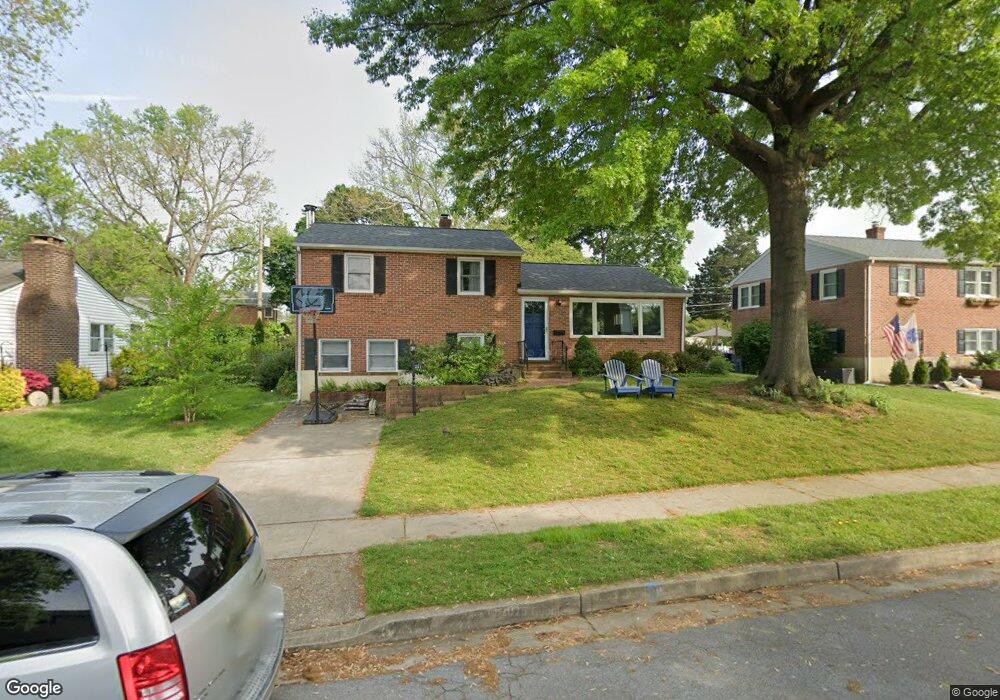
211 Rollingbrook Way Catonsville, MD 21228
Estimated Value: $429,838 - $503,000
--
Bed
2
Baths
1,800
Sq Ft
$268/Sq Ft
Est. Value
About This Home
This home is located at 211 Rollingbrook Way, Catonsville, MD 21228 and is currently estimated at $483,210, approximately $268 per square foot. 211 Rollingbrook Way is a home located in Baltimore County with nearby schools including Westchester Elementary School, Catonsville Middle School, and Catonsville High School.
Ownership History
Date
Name
Owned For
Owner Type
Purchase Details
Closed on
Apr 14, 2016
Sold by
Hauenstein Alberta M and Besche Michele A
Bought by
Yesilonis Ian and Healy Juliet
Current Estimated Value
Home Financials for this Owner
Home Financials are based on the most recent Mortgage that was taken out on this home.
Original Mortgage
$247,000
Outstanding Balance
$196,548
Interest Rate
3.73%
Mortgage Type
New Conventional
Estimated Equity
$286,662
Purchase Details
Closed on
Aug 22, 2008
Sold by
Hauenstein Norbert C
Bought by
Hauenstein Alberta M
Purchase Details
Closed on
Aug 19, 2008
Sold by
Hauenstein Norbert C
Bought by
Hauenstein Alberta M
Purchase Details
Closed on
Jul 19, 1979
Sold by
Hoffman John H
Bought by
Hauenstein Norbert C
Create a Home Valuation Report for This Property
The Home Valuation Report is an in-depth analysis detailing your home's value as well as a comparison with similar homes in the area
Home Values in the Area
Average Home Value in this Area
Purchase History
| Date | Buyer | Sale Price | Title Company |
|---|---|---|---|
| Yesilonis Ian | $260,000 | Advantage Title Company | |
| Hauenstein Alberta M | -- | -- | |
| Hauenstein Alberta M | -- | -- | |
| Hauenstein Norbert C | $70,000 | -- |
Source: Public Records
Mortgage History
| Date | Status | Borrower | Loan Amount |
|---|---|---|---|
| Open | Yesilonis Ian | $247,000 |
Source: Public Records
Tax History Compared to Growth
Tax History
| Year | Tax Paid | Tax Assessment Tax Assessment Total Assessment is a certain percentage of the fair market value that is determined by local assessors to be the total taxable value of land and additions on the property. | Land | Improvement |
|---|---|---|---|---|
| 2025 | $4,892 | $334,433 | -- | -- |
| 2024 | $4,892 | $315,800 | $128,000 | $187,800 |
| 2023 | $2,380 | $305,967 | $0 | $0 |
| 2022 | $4,342 | $296,133 | $0 | $0 |
| 2021 | $4,071 | $286,300 | $128,000 | $158,300 |
| 2020 | $4,071 | $274,600 | $0 | $0 |
| 2019 | $3,999 | $262,900 | $0 | $0 |
| 2018 | $3,816 | $251,200 | $92,000 | $159,200 |
| 2017 | $3,233 | $242,667 | $0 | $0 |
| 2016 | $2,493 | $234,133 | $0 | $0 |
| 2015 | $2,493 | $225,600 | $0 | $0 |
| 2014 | $2,493 | $225,600 | $0 | $0 |
Source: Public Records
Map
Nearby Homes
- 2008 Rollingwood Rd
- 1 N Hilltop Rd
- 229 Gralan Rd
- 231 Gralan Rd
- 1910 Clifden Rd
- 1900 Lismore Ln
- 109 Hillside Rd
- 1902 Lismore Ln
- 100 N Rolling Rd
- 2034 Edmondson Ave
- 1801 Morning Walk Dr
- 1920 Drummond Rd
- 19 Clay Lodge Ln Unit 104
- 15 Overhill Rd
- 2111 Stonewall Rd
- 1703 Frederick Rd
- 2007 Rockwell Ave
- 8 Seminole Ave
- 105 Oella Ave
- 18 Upman Ct
- 213 Rollingbrook Way
- 209 Rollingbrook Way
- 210 Rollingfield Rd
- 208 Rollingfield Rd
- 207 Rollingbrook Way
- 212 Rollingfield Rd
- 215 Rollingbrook Way
- 210 Rollingbrook Way
- 208 Rollingbrook Way
- 206 Rollingfield Rd
- 214 Rollingfield Rd
- 212 Rollingbrook Way
- 206 Rollingbrook Way
- 205 Rollingbrook Way
- 204 Rollingfield Rd
- 216 Rollingfield Rd
- 214 Rollingbrook Way
- 204 Rollingbrook Way
- 209 Brookside Dr
- 211 Brookside Dr