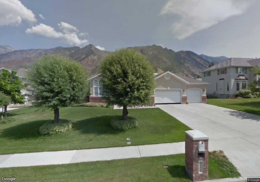
211 S 700 E Alpine, UT 84004
Estimated Value: $988,388 - $1,119,000
5
Beds
4
Baths
4,435
Sq Ft
$234/Sq Ft
Est. Value
About This Home
This home is located at 211 S 700 E, Alpine, UT 84004 and is currently estimated at $1,038,129, approximately $234 per square foot. 211 S 700 E is a home located in Utah County with nearby schools including Alpine School, Timberline Middle School, and Lone Peak High School.
Ownership History
Date
Name
Owned For
Owner Type
Purchase Details
Closed on
Jun 21, 2019
Sold by
Sidwell Kevin Murray and The Sidwell Family Trust
Bought by
Wray Taylor C and Wray Rebecca
Current Estimated Value
Home Financials for this Owner
Home Financials are based on the most recent Mortgage that was taken out on this home.
Original Mortgage
$484,350
Outstanding Balance
$425,862
Interest Rate
4.1%
Mortgage Type
New Conventional
Estimated Equity
$612,267
Purchase Details
Closed on
Sep 12, 1997
Sold by
Sidwell Byron Wilmer and Sidwell Larue Murray
Bought by
Sidwell Byron Wilmer and Sidwell Larue Murray
Purchase Details
Closed on
Jun 30, 1997
Sold by
Ostler Gary W
Bought by
Sidwell Byron Wilmer and Sidwell Larue Murray
Home Financials for this Owner
Home Financials are based on the most recent Mortgage that was taken out on this home.
Original Mortgage
$120,000
Interest Rate
7.91%
Mortgage Type
Purchase Money Mortgage
Create a Home Valuation Report for This Property
The Home Valuation Report is an in-depth analysis detailing your home's value as well as a comparison with similar homes in the area
Home Values in the Area
Average Home Value in this Area
Purchase History
| Date | Buyer | Sale Price | Title Company |
|---|---|---|---|
| Wray Taylor C | -- | Capstone T&E Inc | |
| Sidwell Byron Wilmer | -- | -- | |
| Sidwell Byron Wilmer | -- | First American Title |
Source: Public Records
Mortgage History
| Date | Status | Borrower | Loan Amount |
|---|---|---|---|
| Open | Wray Taylor C | $484,350 | |
| Previous Owner | Sidwell Byron Wilmer | $120,000 |
Source: Public Records
Tax History
| Year | Tax Paid | Tax Assessment Tax Assessment Total Assessment is a certain percentage of the fair market value that is determined by local assessors to be the total taxable value of land and additions on the property. | Land | Improvement |
|---|---|---|---|---|
| 2025 | $4,150 | $501,050 | -- | -- |
| 2024 | $4,150 | $483,725 | $0 | $0 |
| 2023 | $3,918 | $490,215 | $0 | $0 |
| 2022 | $3,829 | $465,245 | $0 | $0 |
| 2021 | $3,377 | $637,400 | $293,000 | $344,400 |
| 2020 | $3,270 | $604,000 | $266,400 | $337,600 |
| 2019 | $2,904 | $560,000 | $266,400 | $293,600 |
| 2018 | $2,586 | $492,700 | $236,800 | $255,900 |
| 2017 | $2,491 | $252,615 | $0 | $0 |
| 2016 | $2,771 | $261,965 | $0 | $0 |
| 2015 | $2,695 | $241,010 | $0 | $0 |
| 2014 | -- | $224,785 | $0 | $0 |
Source: Public Records
Map
Nearby Homes
- 202 E Alpine Dr
- 887 E Village Way
- 1063 E Alpine Dr
- 48 N 100 E
- 196 Holly Dr
- 30 S Main St
- 76 N Bald Mountain Dr
- 250 S Main St Unit 25
- 250 S Main St Unit 20
- 250 S Main St Unit 9
- 250 S Main St Unit 7
- 682 Healey Blvd
- 475 Grove Dr
- 1263 E Chapman Ct
- 88 W Cascade Ave
- 259 Twin River Loop
- 151 Glacier Lily Dr
- 358 Eastview Dr
- 5046 W Jonathon Rd Unit 10
- 868 S Braddock Ln
Your Personal Tour Guide
Ask me questions while you tour the home.