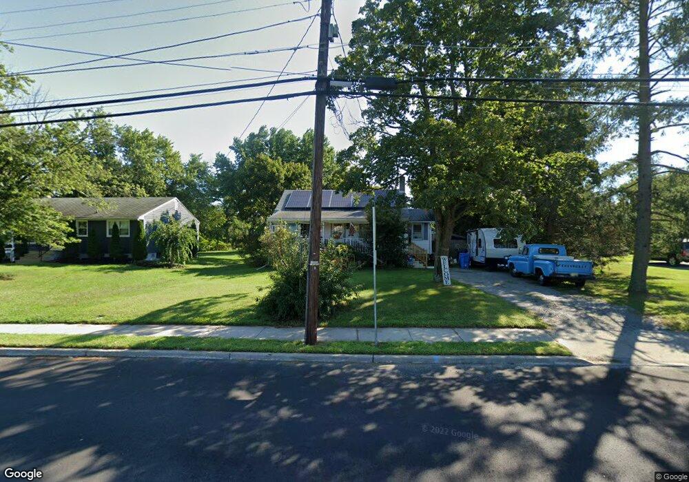
211 S Broad St Clayton, NJ 08312
Estimated Value: $203,814 - $260,000
--
Bed
--
Bath
1,172
Sq Ft
$198/Sq Ft
Est. Value
About This Home
This home is located at 211 S Broad St, Clayton, NJ 08312 and is currently estimated at $231,954, approximately $197 per square foot. 211 S Broad St is a home located in Gloucester County with nearby schools including Herma S. Simmons Elementary School, Clayton Middle School, and Clayton High School.
Ownership History
Date
Name
Owned For
Owner Type
Purchase Details
Closed on
Sep 20, 2002
Sold by
Harold Abe and Harold Lillie B
Bought by
Wells Fargo Bank Of Minnesota Na and Access Financial Mtg Loan Trust 1996-1
Current Estimated Value
Purchase Details
Closed on
Jun 12, 2002
Sold by
Field Edmund and Field Emma
Bought by
Field Jeffrey and Field Sandra
Create a Home Valuation Report for This Property
The Home Valuation Report is an in-depth analysis detailing your home's value as well as a comparison with similar homes in the area
Home Values in the Area
Average Home Value in this Area
Purchase History
| Date | Buyer | Sale Price | Title Company |
|---|---|---|---|
| Wells Fargo Bank Of Minnesota Na | $704 | -- | |
| Field Jeffrey | -- | -- |
Source: Public Records
Tax History Compared to Growth
Tax History
| Year | Tax Paid | Tax Assessment Tax Assessment Total Assessment is a certain percentage of the fair market value that is determined by local assessors to be the total taxable value of land and additions on the property. | Land | Improvement |
|---|---|---|---|---|
| 2025 | $4,925 | $199,000 | $69,700 | $129,300 |
| 2024 | $4,437 | $199,000 | $69,700 | $129,300 |
| 2023 | $4,437 | $109,800 | $30,600 | $79,200 |
| 2022 | $4,389 | $109,800 | $30,600 | $79,200 |
| 2021 | $4,014 | $109,800 | $30,600 | $79,200 |
| 2020 | $4,345 | $109,800 | $30,600 | $79,200 |
| 2019 | $4,271 | $109,800 | $30,600 | $79,200 |
| 2018 | $4,211 | $109,800 | $30,600 | $79,200 |
| 2017 | $4,139 | $109,800 | $30,600 | $79,200 |
| 2016 | $4,096 | $109,800 | $30,600 | $79,200 |
| 2015 | $3,975 | $109,800 | $30,600 | $79,200 |
| 2014 | $3,836 | $109,800 | $30,600 | $79,200 |
Source: Public Records
Map
Nearby Homes
- 125 W Clayton Ave
- 238 W Center St
- 100 Jerrys Ave
- 196 Jerrys Ave
- 237 S Delsea Dr
- 745 W Clayton Ave
- 760 W Clayton Ave
- 100 Aura Rd Unit 112
- 100 Aura Rd Unit 212
- 100 Aura Rd Unit 311
- 100 Aura Rd Unit 111
- 100 Aura Rd Unit 110
- 320 E Clayton Ave
- 904 Pine Ave
- 7 Hawthorn Way
- 131 W Clinton St
- 124 W Howard St
- 216 E Howard St
- 510 Coleman Dr
- 211 Hollywood Ave
- 209 S Broad St
- 171 Morton Ave
- 137 Morton Ave
- 164 W Chestnut St
- 190 W Chestnut St
- 135 Morton Ave
- 180 W Chestnut St
- 148 W Chestnut St
- 208 S Broad St
- 212 S Broad St
- 210 S Broad St
- 125 Morton Ave
- 218 S Broad St
- 166 Morton Ave
- 220 S Broad St
- 192 Morton Ave
- 220 W Chestnut St
- 144 W Chestnut St
- 141 W Chestnut St
- 143 W Chestnut St