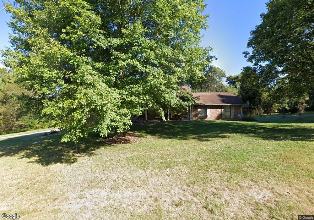
211 S Lake Dr Cape Girardeau, MO 63701
Estimated Value: $420,000 - $504,000
4
Beds
4
Baths
2,759
Sq Ft
$170/Sq Ft
Est. Value
About This Home
This home is located at 211 S Lake Dr, Cape Girardeau, MO 63701 and is currently estimated at $469,791, approximately $170 per square foot. 211 S Lake Dr is a home with nearby schools including Clippard Elementary School, Central Middle School, and Central Junior High School.
Ownership History
Date
Name
Owned For
Owner Type
Purchase Details
Closed on
Apr 24, 2023
Sold by
John Scott Price and John Linda J
Bought by
John And Linda Price Protection Trust
Current Estimated Value
Purchase Details
Closed on
Mar 12, 2014
Sold by
Price John Scott and Price Linda J
Bought by
Price Trust
Purchase Details
Closed on
Jun 30, 2010
Sold by
Wells Craig E and Wells Mona L
Bought by
Price John and Price Linda
Home Financials for this Owner
Home Financials are based on the most recent Mortgage that was taken out on this home.
Original Mortgage
$274,550
Interest Rate
4.81%
Mortgage Type
New Conventional
Create a Home Valuation Report for This Property
The Home Valuation Report is an in-depth analysis detailing your home's value as well as a comparison with similar homes in the area
Home Values in the Area
Average Home Value in this Area
Purchase History
| Date | Buyer | Sale Price | Title Company |
|---|---|---|---|
| John And Linda Price Protection Trust | -- | None Listed On Document | |
| Price Trust | -- | -- | |
| Price John | -- | None Available |
Source: Public Records
Mortgage History
| Date | Status | Borrower | Loan Amount |
|---|---|---|---|
| Previous Owner | Price John | $274,550 |
Source: Public Records
Tax History Compared to Growth
Tax History
| Year | Tax Paid | Tax Assessment Tax Assessment Total Assessment is a certain percentage of the fair market value that is determined by local assessors to be the total taxable value of land and additions on the property. | Land | Improvement |
|---|---|---|---|---|
| 2025 | $3,023 | $60,720 | $5,150 | $55,570 |
| 2024 | $29 | $57,830 | $4,910 | $52,920 |
| 2023 | $2,866 | $57,830 | $4,910 | $52,920 |
| 2022 | $2,642 | $53,290 | $4,520 | $48,770 |
| 2021 | $2,642 | $53,290 | $4,520 | $48,770 |
| 2020 | $2,650 | $53,290 | $4,520 | $48,770 |
| 2019 | $2,645 | $53,290 | $0 | $0 |
| 2018 | $2,641 | $53,290 | $0 | $0 |
| 2017 | $2,647 | $53,290 | $0 | $0 |
| 2016 | $2,476 | $50,050 | $0 | $0 |
| 2015 | $2,479 | $50,050 | $0 | $0 |
| 2014 | $2,471 | $49,630 | $0 | $0 |
Source: Public Records
Map
Nearby Homes
- 495 S Lake Dr
- 0 County Road 317
- 3657 Engram St
- 3814 Carolewood Dr
- 807 Caribou Ct
- 725 Old Mill Dr
- 393 Estate Dr
- 1304 Holly Dr
- 3552 Mill View Crossing
- 4595 Kingston Ave
- 901 Pheasant Cove Dr
- 4576 Kingston Ave
- 4568 Kingston Ave
- 4530 Doe Run
- 4510 Doe Run
- 4516 Doe Run
- 4578 Kingston Ave
- 1435 Chardonnay Ln
- 4570 Kingston Ave
- 4408 Clayton Ct