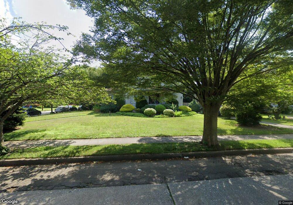
211 S Ocean Ave Freeport, NY 11520
Estimated Value: $816,000 - $858,746
4
Beds
3
Baths
2,501
Sq Ft
$335/Sq Ft
Est. Value
About This Home
This home is located at 211 S Ocean Ave, Freeport, NY 11520 and is currently estimated at $837,373, approximately $334 per square foot. 211 S Ocean Ave is a home located in Nassau County with nearby schools including Columbus Avenue School, Caroline G. Atkinson Intermediate School, and John W Dodd Middle School.
Ownership History
Date
Name
Owned For
Owner Type
Purchase Details
Closed on
Oct 14, 2004
Sold by
Camiel Clifford
Bought by
Gray Philip
Current Estimated Value
Purchase Details
Closed on
Aug 18, 1999
Sold by
Bishop Raphael
Bought by
Camiel Clifford B
Home Financials for this Owner
Home Financials are based on the most recent Mortgage that was taken out on this home.
Original Mortgage
$133,400
Interest Rate
7.53%
Mortgage Type
Purchase Money Mortgage
Create a Home Valuation Report for This Property
The Home Valuation Report is an in-depth analysis detailing your home's value as well as a comparison with similar homes in the area
Home Values in the Area
Average Home Value in this Area
Purchase History
| Date | Buyer | Sale Price | Title Company |
|---|---|---|---|
| Gray Philip | $495,000 | -- | |
| Gray Philip | $495,000 | -- | |
| Camiel Clifford B | $278,000 | First American Title Ins Co | |
| Camiel Clifford B | $278,000 | First American Title Ins Co | |
| Camiel Clifford B | $278,000 | First American Title Ins Co | |
| Camiel Clifford B | $278,000 | First American Title Ins Co |
Source: Public Records
Mortgage History
| Date | Status | Borrower | Loan Amount |
|---|---|---|---|
| Previous Owner | Camiel Clifford B | $133,400 |
Source: Public Records
Tax History Compared to Growth
Tax History
| Year | Tax Paid | Tax Assessment Tax Assessment Total Assessment is a certain percentage of the fair market value that is determined by local assessors to be the total taxable value of land and additions on the property. | Land | Improvement |
|---|---|---|---|---|
| 2025 | $12,472 | $620 | $264 | $356 |
| 2024 | $1,431 | $620 | $264 | $356 |
| 2023 | $13,231 | $620 | $264 | $356 |
| 2022 | $14,387 | $620 | $264 | $356 |
| 2021 | $15,535 | $594 | $253 | $341 |
| 2020 | $15,535 | $1,165 | $530 | $635 |
| 2019 | $15,806 | $1,165 | $530 | $635 |
| 2018 | $15,433 | $1,165 | $0 | $0 |
| 2017 | $12,620 | $1,165 | $530 | $635 |
| 2016 | $14,369 | $1,165 | $530 | $635 |
| 2015 | $1,683 | $1,165 | $530 | $635 |
| 2014 | $1,683 | $1,165 | $530 | $635 |
| 2013 | $1,590 | $1,165 | $530 | $635 |
Source: Public Records
Map
Nearby Homes
- 137 Smith St Unit A4
- 149 Smith St Unit e-22
- 145 Smith St Unit D4
- 153 Smith St Unit F22
- 194 Smith St Unit 1B
- 194 Smith St Unit 3P
- 194 Smith St Unit 1
- 175 Archer St Unit 1C
- 175 Archer St Unit 3A
- 124 Smith St Unit 1B
- 124 Smith St Unit 3B
- 103 Rose St
- 47 East Ave
- 61 East Ave
- 5 Sportsmans Ave
- 280 Guy Lombardo Ave Unit 5G
- 187 S Long Beach Ave
- 222 Smith St Unit 3C
- 222 Smith St Unit 1B
- 159 Southside Ave