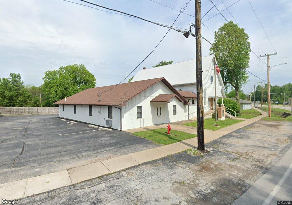
211 S State Highway F Ash Grove, MO 65604
Estimated Value: $174,000
3
Beds
1
Bath
1,640
Sq Ft
$106/Sq Ft
Est. Value
About This Home
This home is located at 211 S State Highway F, Ash Grove, MO 65604 and is currently priced at $174,000, approximately $106 per square foot. 211 S State Highway F is a home located in Greene County with nearby schools including Bois D'Arc Elementary School and Ash Grove High School.
Ownership History
Date
Name
Owned For
Owner Type
Purchase Details
Closed on
Aug 9, 2019
Sold by
West Timothy E and West Stephanie
Bought by
Beasley Ryan L and Beasley Tonya M
Current Estimated Value
Purchase Details
Closed on
Aug 17, 2017
Sold by
Beasley Ryan L and Beasley Tonya M
Bought by
Beasley Ryan L and Beasley Tonya M
Home Financials for this Owner
Home Financials are based on the most recent Mortgage that was taken out on this home.
Original Mortgage
$102,000
Interest Rate
4.03%
Mortgage Type
New Conventional
Create a Home Valuation Report for This Property
The Home Valuation Report is an in-depth analysis detailing your home's value as well as a comparison with similar homes in the area
Home Values in the Area
Average Home Value in this Area
Purchase History
| Date | Buyer | Sale Price | Title Company |
|---|---|---|---|
| Beasley Ryan L | -- | None Available | |
| Beasley Ryan L | -- | None Available |
Source: Public Records
Mortgage History
| Date | Status | Borrower | Loan Amount |
|---|---|---|---|
| Previous Owner | Beasley Ryan L | $102,000 |
Source: Public Records
Tax History Compared to Growth
Tax History
| Year | Tax Paid | Tax Assessment Tax Assessment Total Assessment is a certain percentage of the fair market value that is determined by local assessors to be the total taxable value of land and additions on the property. | Land | Improvement |
|---|---|---|---|---|
| 2021 | $709 | $12,240 | $2,090 | $10,150 |
| 2020 | $642 | $11,760 | $2,090 | $9,670 |
| 2019 | $640 | $11,760 | $2,090 | $9,670 |
| 2018 | $563 | $10,180 | $2,090 | $8,090 |
| 2017 | $558 | $10,170 | $2,090 | $8,080 |
| 2016 | $554 | $10,170 | $2,090 | $8,080 |
| 2015 | $553 | $10,170 | $2,090 | $8,080 |
| 2014 | $539 | $10,150 | $2,090 | $8,060 |
Source: Public Records
Map
Nearby Homes
- 203 E Prairie Ln
- 300 S High Ave
- 502 W Mill St
- 103 N Maple Ln
- 606 E Prairie Ln
- 711 W Woodbine Rd
- 415 S Piper Ave
- 424 Coyote Pass
- 422 Coyote Pass
- 806 E Grant St
- 407 N Crestview Ave
- 206 E Cawlfield St
- 134 Moonlight Valley Dr
- 000 State Highway V
- Tracts 2 & 3 Farm Rd 35 & 39
- Tract Tbd W Farm Road 64
- 000 W Farm Road 64
- 6896 N Farm Road 1
- 12426 W Farm Road 60
- 7681 N Farm Road 43
- 205 S State Highway F
- 301 S State Highway F
- 201 S Calhoun Ave
- 303 S State Highway F
- 303 S Hwy F
- 201 S State Highway F
- 300 State Highway F
- 125 S Calhoun Ave
- 206 S Calhoun Ave
- 200 S Calhoun Ave
- 5849 N State Highway F
- 101 S Duncan Ave
- 122 S Calhoun Ave
- 120 S Calhoun Ave
- 107 E Murray St
- 118 S Calhoun Ave
- 108 S Duncan Ave
- 104 S Duncan Ave
- 102 S Duncan Ave
- 114 S Calhoun Ave