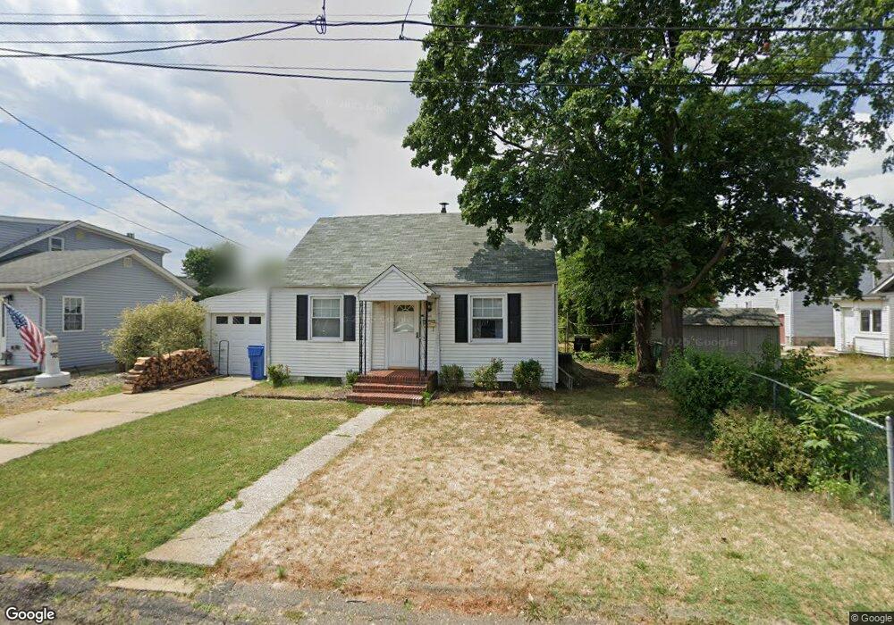
211 Seaview Ave South Amboy, NJ 08879
Estimated Value: $357,952 - $447,000
3
Beds
2
Baths
957
Sq Ft
$411/Sq Ft
Est. Value
About This Home
This home is located at 211 Seaview Ave, South Amboy, NJ 08879 and is currently estimated at $393,488, approximately $411 per square foot. 211 Seaview Ave is a home located in Middlesex County with nearby schools including Old Bridge High School, Icob Academy, and St. Joseph Elementary School.
Ownership History
Date
Name
Owned For
Owner Type
Purchase Details
Closed on
Sep 18, 2019
Sold by
Grimaldi Jo Ann and Estatae Of Claire Britanak
Bought by
Grimaldi Michael and Grimaldi Joann M
Current Estimated Value
Home Financials for this Owner
Home Financials are based on the most recent Mortgage that was taken out on this home.
Original Mortgage
$160,000
Outstanding Balance
$139,858
Interest Rate
3.5%
Mortgage Type
New Conventional
Estimated Equity
$253,630
Purchase Details
Closed on
Jul 1, 1980
Bought by
Britanak Joseph and Britanak Claire
Create a Home Valuation Report for This Property
The Home Valuation Report is an in-depth analysis detailing your home's value as well as a comparison with similar homes in the area
Home Values in the Area
Average Home Value in this Area
Purchase History
| Date | Buyer | Sale Price | Title Company |
|---|---|---|---|
| Grimaldi Michael | $230,000 | Old Republic Title Ins Co | |
| Britanak Joseph | -- | -- |
Source: Public Records
Mortgage History
| Date | Status | Borrower | Loan Amount |
|---|---|---|---|
| Open | Grimaldi Michael | $160,000 |
Source: Public Records
Tax History Compared to Growth
Tax History
| Year | Tax Paid | Tax Assessment Tax Assessment Total Assessment is a certain percentage of the fair market value that is determined by local assessors to be the total taxable value of land and additions on the property. | Land | Improvement |
|---|---|---|---|---|
| 2025 | $6,084 | $106,200 | $39,400 | $66,800 |
| 2024 | $5,835 | $106,200 | $39,400 | $66,800 |
| 2023 | $5,835 | $106,200 | $39,400 | $66,800 |
| 2022 | $5,677 | $106,200 | $39,400 | $66,800 |
| 2021 | $5,572 | $106,200 | $39,400 | $66,800 |
| 2020 | $5,505 | $106,200 | $39,400 | $66,800 |
| 2019 | $5,417 | $106,200 | $39,400 | $66,800 |
| 2018 | $5,107 | $106,200 | $39,400 | $66,800 |
| 2017 | $4,940 | $106,200 | $39,400 | $66,800 |
| 2016 | $5,087 | $106,200 | $39,400 | $66,800 |
| 2015 | $4,748 | $106,200 | $39,400 | $66,800 |
| 2014 | $4,687 | $106,200 | $39,400 | $66,800 |
Source: Public Records
Map
Nearby Homes
- 238 Shoreland Cir
- 809 Summerfield Ave
- 301 Shoreland Cir
- 21 Lantana Way
- 110 Summerfield Ave
- 235 Garfield Ave
- 181 Norwood Ave
- 146 Orchard Ave
- 239 Alpine Way
- 243 Alpine Way
- 169 Norwood Ave
- 250 Brookside Ave
- 438 Brookside Ave
- 737 Prospect Ave
- 615 Greenwood Ave
- 940 Grove Ave
- 429 Lea Ave
- 107 Boulevard W
- 106 Boulevard W
- 10 Woodlawn Cir
- 210 Seaview Ave
- 213 Seaview Ave
- 208 Shoreland Cir
- 207 Shoreland Cir
- 206 Shoreland Cir
- 200 Ocean Ave
- 214 Seaview Ave
- 214 Seaview Ave Unit none
- 232 Shoreland Cir
- 216 Seaview Ave
- 230 Seaview Ave
- 229 Seaview Ave
- 195 Ocean Ave
- 234 Shoreland Cir
- 202 Shoreland Cir
- 217 Seaview Ave
- 227 Seaview Ave
- 235 Shoreland Cir
- 226 Seaview Ave
- 218 Seaview Ave