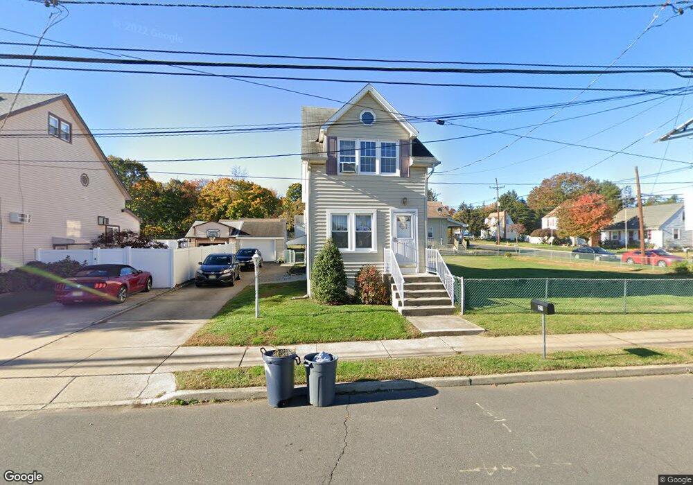
211 Steward St Trenton, NJ 08610
Estimated Value: $321,485 - $419,000
--
Bed
--
Bath
1,533
Sq Ft
$253/Sq Ft
Est. Value
About This Home
This home is located at 211 Steward St, Trenton, NJ 08610 and is currently estimated at $387,121, approximately $252 per square foot. 211 Steward St is a home located in Mercer County with nearby schools including Kuser Elementary School, Emily C. Reynolds Middle School, and Steinert - Hamilton High East.
Ownership History
Date
Name
Owned For
Owner Type
Purchase Details
Closed on
Dec 2, 1996
Sold by
Delorenzo Robert
Bought by
Farley Kevin and Farley Carol
Current Estimated Value
Home Financials for this Owner
Home Financials are based on the most recent Mortgage that was taken out on this home.
Original Mortgage
$47,000
Outstanding Balance
$4,632
Interest Rate
7.36%
Mortgage Type
Purchase Money Mortgage
Estimated Equity
$382,489
Create a Home Valuation Report for This Property
The Home Valuation Report is an in-depth analysis detailing your home's value as well as a comparison with similar homes in the area
Home Values in the Area
Average Home Value in this Area
Purchase History
| Date | Buyer | Sale Price | Title Company |
|---|---|---|---|
| Farley Kevin | $116,500 | -- |
Source: Public Records
Mortgage History
| Date | Status | Borrower | Loan Amount |
|---|---|---|---|
| Open | Farley Kevin | $47,000 |
Source: Public Records
Tax History Compared to Growth
Tax History
| Year | Tax Paid | Tax Assessment Tax Assessment Total Assessment is a certain percentage of the fair market value that is determined by local assessors to be the total taxable value of land and additions on the property. | Land | Improvement |
|---|---|---|---|---|
| 2025 | $6,336 | $179,800 | $54,900 | $124,900 |
| 2024 | $5,939 | $179,800 | $54,900 | $124,900 |
| 2023 | $5,939 | $179,800 | $54,900 | $124,900 |
| 2022 | $5,845 | $179,800 | $54,900 | $124,900 |
| 2021 | $6,712 | $179,800 | $54,900 | $124,900 |
| 2020 | $6,065 | $179,800 | $54,900 | $124,900 |
| 2019 | $5,906 | $179,800 | $54,900 | $124,900 |
| 2018 | $5,840 | $179,800 | $54,900 | $124,900 |
| 2017 | $5,541 | $179,800 | $54,900 | $124,900 |
| 2016 | $4,970 | $183,800 | $58,900 | $124,900 |
| 2015 | $5,811 | $119,600 | $42,200 | $77,400 |
| 2014 | $5,718 | $119,600 | $42,200 | $77,400 |
Source: Public Records
Map
Nearby Homes
- 61 Leuckel Ave
- 20 Leuckel Ave
- 25 Brook Ln
- 144 Beal St
- 125 Edwin Ave
- 51 Charlotte Ave
- 1427 Hamilton Ave
- 20 Charlotte Ave
- 235 Darcy Ave
- 176 Pope Ave
- 127 Bentley Ave
- 618 Atlantic Ave
- 1524 Elizabeth Ave
- 448 Lynwood Ave
- 480 S Logan Ave
- 657 S Olden Ave
- 631 S Olden Ave
- 90 Sundance Dr
- 26 Benson Ave
- 541 Emmett Ave