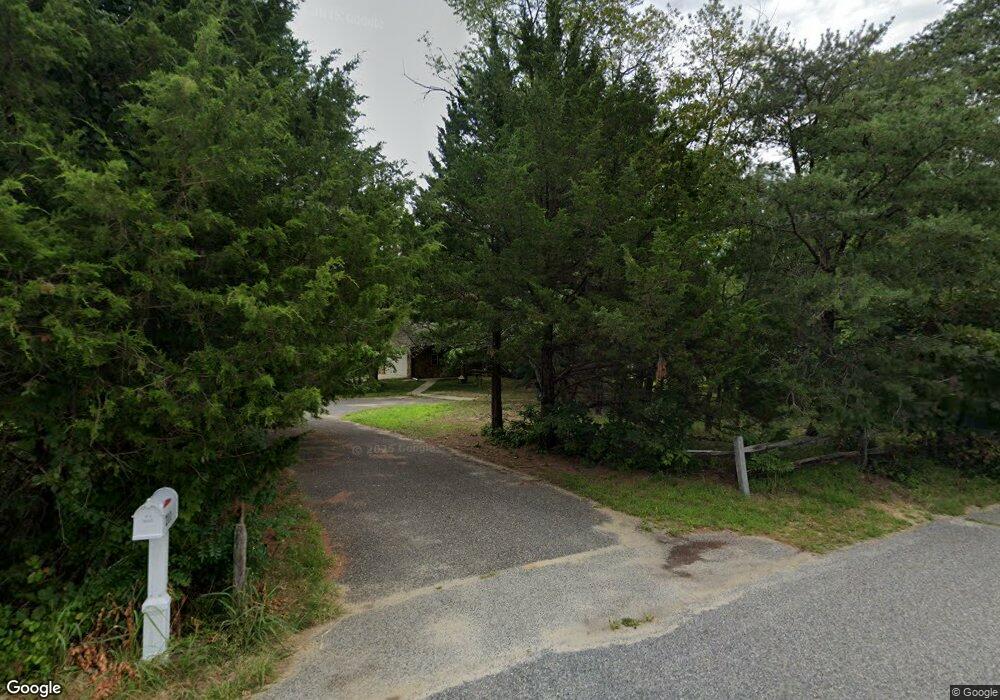
211 Taylor Ave Mantua, NJ 08051
Mantua Township NeighborhoodEstimated Value: $406,000 - $614,000
--
Bed
--
Bath
2,354
Sq Ft
$214/Sq Ft
Est. Value
About This Home
This home is located at 211 Taylor Ave, Mantua, NJ 08051 and is currently estimated at $503,611, approximately $213 per square foot. 211 Taylor Ave is a home located in Gloucester County with nearby schools including Centre City School, Clearview Regional Middle School, and Clearview Regional High School.
Ownership History
Date
Name
Owned For
Owner Type
Purchase Details
Closed on
May 19, 1998
Sold by
Turkot Karl and Estate Of Paul Turkot
Bought by
Maxvitat John J and Maxvitat Donna M
Current Estimated Value
Purchase Details
Closed on
Aug 28, 1995
Sold by
Eastlack John W and Eastlack Lora L
Bought by
Maxvitat John J and Maxvitat Donna M
Create a Home Valuation Report for This Property
The Home Valuation Report is an in-depth analysis detailing your home's value as well as a comparison with similar homes in the area
Home Values in the Area
Average Home Value in this Area
Purchase History
| Date | Buyer | Sale Price | Title Company |
|---|---|---|---|
| Maxvitat John J | $800 | Homestead Title Agency | |
| Maxvitat John J | $171,000 | Congress Title Corp |
Source: Public Records
Tax History Compared to Growth
Tax History
| Year | Tax Paid | Tax Assessment Tax Assessment Total Assessment is a certain percentage of the fair market value that is determined by local assessors to be the total taxable value of land and additions on the property. | Land | Improvement |
|---|---|---|---|---|
| 2025 | $10,164 | $394,700 | $99,000 | $295,700 |
| 2024 | $10,057 | $394,700 | $99,000 | $295,700 |
| 2023 | $10,057 | $394,700 | $99,000 | $295,700 |
| 2022 | $10,060 | $287,600 | $79,000 | $208,600 |
| 2021 | $10,135 | $287,600 | $79,000 | $208,600 |
| 2020 | $10,055 | $287,600 | $79,000 | $208,600 |
| 2019 | $9,885 | $287,600 | $79,000 | $208,600 |
| 2018 | $9,744 | $287,600 | $79,000 | $208,600 |
| 2017 | $9,597 | $287,600 | $79,000 | $208,600 |
| 2016 | $9,488 | $287,600 | $79,000 | $208,600 |
| 2015 | $9,361 | $290,900 | $82,300 | $208,600 |
| 2014 | $9,047 | $290,900 | $82,300 | $208,600 |
Source: Public Records
Map
Nearby Homes
- 119 Monroe Ave
- 325 Bridgeton Pike
- 485 Harrison Ave
- 204 W Landing Rd
- 41 Woodbrook Dr Unit C041
- 8 Barry Dr
- 36 Bluebird Rd
- 1433 Tristram Cir
- 17 Oakton Dr
- 590 Bridgeton Pike
- 284 Columbus Dr
- 1215 Tristram Cir
- 333 Jackson Rd
- 1145 Tristram Cir
- 1147 Tristram Cir Unit 1147
- 19 Marathon Dr
- 155 Whippoorwill Way
- 1134 Tristram Cir Unit 4
- 1121 Tristram Cir Unit 1
- 131 Firth Dr
- 207 Taylor Ave
- 206 Monroe Ave
- 219 Monroe Ave
- 212 Taylor Ave
- 203 Taylor Ave
- 200 Taylor Ave
- 205 Monroe Ave
- 215 Monroe Ave
- 202 Monroe Ave
- 222 Taylor Ave
- 225 Taylor Ave
- 204 Lincoln Ave
- 201 Monroe Ave
- 121 Taylor Ave
- 117 Taylor Ave Unit 119
- 229 Taylor Ave
- 120 Taylor Ave
- 228 Taylor Ave
- 202 Lincoln Ave
- 205 Lincoln Ave