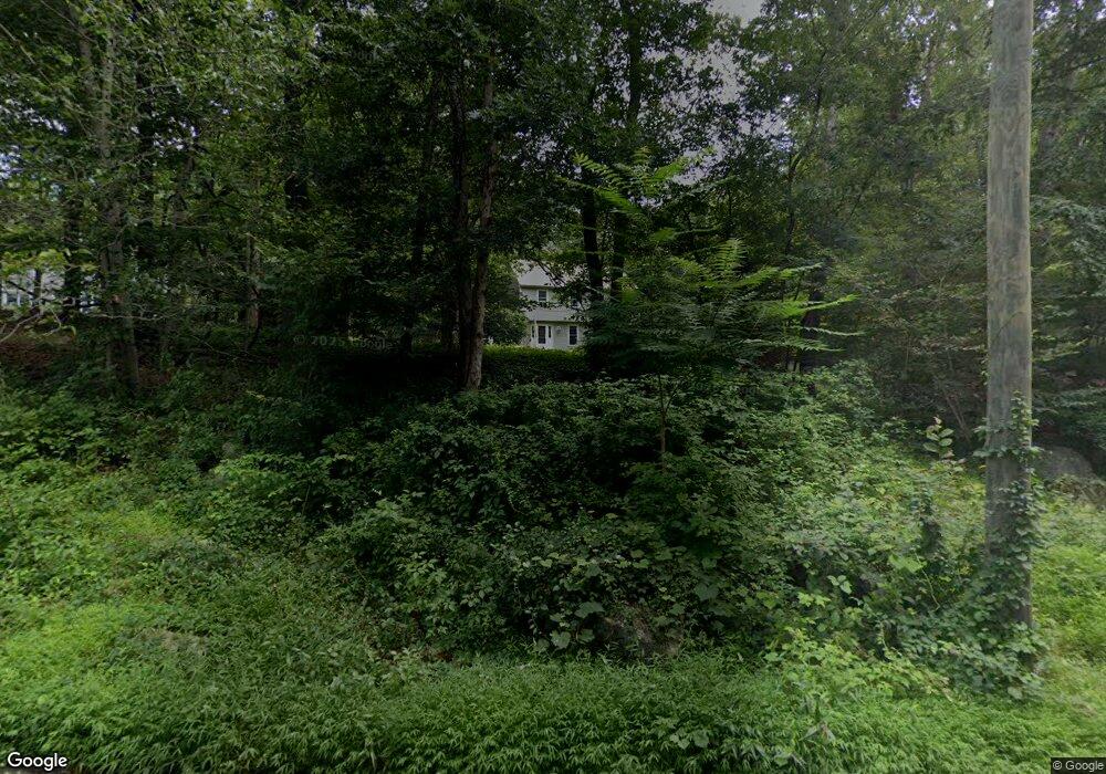
211 Twin Bridge Rd Madison, CT 06443
Estimated Value: $619,048 - $749,000
4
Beds
7
Baths
1,992
Sq Ft
$345/Sq Ft
Est. Value
About This Home
This home is located at 211 Twin Bridge Rd, Madison, CT 06443 and is currently estimated at $687,762, approximately $345 per square foot. 211 Twin Bridge Rd is a home located in New Haven County with nearby schools including Walter C. Polson Upper Middle School, Daniel Hand High School, and The Country School.
Ownership History
Date
Name
Owned For
Owner Type
Purchase Details
Closed on
Jan 4, 2012
Sold by
Laurello Christopher and Laurello Cara
Bought by
Budrow Yvette
Current Estimated Value
Home Financials for this Owner
Home Financials are based on the most recent Mortgage that was taken out on this home.
Original Mortgage
$200,000
Outstanding Balance
$137,114
Interest Rate
3.98%
Estimated Equity
$550,648
Purchase Details
Closed on
Jun 29, 2004
Sold by
Leddy Thomas J and Leddy Nancy C
Bought by
Laurello Christopher and Laurello Cara
Home Financials for this Owner
Home Financials are based on the most recent Mortgage that was taken out on this home.
Original Mortgage
$333,700
Interest Rate
6.32%
Create a Home Valuation Report for This Property
The Home Valuation Report is an in-depth analysis detailing your home's value as well as a comparison with similar homes in the area
Home Values in the Area
Average Home Value in this Area
Purchase History
| Date | Buyer | Sale Price | Title Company |
|---|---|---|---|
| Budrow Yvette | $344,000 | -- | |
| Laurello Christopher | $419,500 | -- |
Source: Public Records
Mortgage History
| Date | Status | Borrower | Loan Amount |
|---|---|---|---|
| Open | Laurello Christopher | $200,000 | |
| Previous Owner | Laurello Christopher | $247,500 | |
| Previous Owner | Laurello Christopher | $25,000 | |
| Previous Owner | Laurello Christopher | $333,700 |
Source: Public Records
Tax History
| Year | Tax Paid | Tax Assessment Tax Assessment Total Assessment is a certain percentage of the fair market value that is determined by local assessors to be the total taxable value of land and additions on the property. | Land | Improvement |
|---|---|---|---|---|
| 2025 | $7,624 | $339,900 | $122,400 | $217,500 |
| 2024 | $7,478 | $339,900 | $122,400 | $217,500 |
| 2023 | $7,304 | $243,700 | $94,200 | $149,500 |
| 2022 | $7,167 | $243,700 | $94,200 | $149,500 |
| 2021 | $7,031 | $243,700 | $94,200 | $149,500 |
| 2020 | $6,909 | $243,700 | $94,200 | $149,500 |
| 2019 | $6,909 | $243,700 | $94,200 | $149,500 |
| 2018 | $6,444 | $229,800 | $93,600 | $136,200 |
| 2017 | $6,274 | $229,800 | $93,600 | $136,200 |
| 2016 | $6,087 | $229,800 | $93,600 | $136,200 |
| 2015 | $5,920 | $229,800 | $93,600 | $136,200 |
| 2014 | $7,314 | $290,600 | $137,300 | $153,300 |
Source: Public Records
Map
Nearby Homes
- 18 Saint Francis Woods Rd
- 65 Ironwood Rd
- 24 Echo Point Rd
- 87 White Birch Dr
- 76 Bartlett Dr
- 98 Bartlett Dr
- 296 Valley Shore Dr
- 660 Opening Hill Rd
- 876 Nut Plains Rd
- 874 Nut Plains Rd Unit Lot 2 - Style A
- 1281 Durham Rd
- 25 Sullivan Dr
- 1092 Durham Rd
- 85 Legend Hill Rd Unit 85
- 91 Legend Hill Rd Unit 91
- 77 Pinebrook Cir
- 524 Nortontown Rd
- 258 Nut Plains Rd
- 40 Deerfield Dr
- 173 Highwoods Dr
- 219 Twin Bridge Rd
- 207 Twin Bridge Rd
- 225 Twin Bridge Rd
- 201 Twin Bridge Rd
- 51 Country Way
- 166 Twin Bridge Rd
- 195 Twin Bridge Rd
- 231 Twin Bridge Rd
- 174 Twin Bridge Rd
- 53 Country Way
- 237 Twin Bridge Rd
- 98 Twin Bridge Rd
- 23 Country Way
- 70 Twin Bridge Rd
- 15 Country Way
- 97 Country Way
- 22 Country Way
- 79 Country Way
- 32 Country Way
- 54 Country Way
Your Personal Tour Guide
Ask me questions while you tour the home.