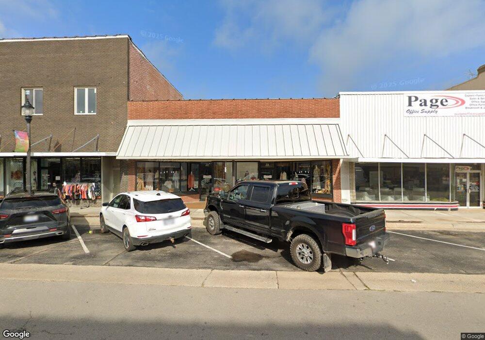
211 W Commercial St Lebanon, MO 65536
--
Bed
--
Bath
2,872
Sq Ft
3,703
Sq Ft Lot
About This Home
This home is located at 211 W Commercial St, Lebanon, MO 65536. 211 W Commercial St is a home located in Laclede County with nearby schools including Joe D. Esther Elementary School, Boswell Elementary School, and Maplecrest Elementary School.
Ownership History
Date
Name
Owned For
Owner Type
Purchase Details
Closed on
Jan 3, 2024
Sold by
Betru Holdings Llc
Bought by
Ozark Fiber Llc
Purchase Details
Closed on
May 11, 2021
Sold by
Wilson Vincent L and Wilson Heather D
Bought by
Betru Holdings Llc
Home Financials for this Owner
Home Financials are based on the most recent Mortgage that was taken out on this home.
Original Mortgage
$72,000
Interest Rate
3.1%
Mortgage Type
Future Advance Clause Open End Mortgage
Purchase Details
Closed on
Jul 15, 2019
Sold by
Matlock Properties Llc
Bought by
Stockman Larry R and Stockman Nina R
Create a Home Valuation Report for This Property
The Home Valuation Report is an in-depth analysis detailing your home's value as well as a comparison with similar homes in the area
Home Values in the Area
Average Home Value in this Area
Purchase History
| Date | Buyer | Sale Price | Title Company |
|---|---|---|---|
| Ozark Fiber Llc | -- | Hogan Land Title | |
| Betru Holdings Llc | -- | Hogan Land Title | |
| Betru Holdings Llc | -- | Hogan Land Title | |
| Stockman Larry R | -- | Hogan Land Title |
Source: Public Records
Mortgage History
| Date | Status | Borrower | Loan Amount |
|---|---|---|---|
| Previous Owner | Betru Holdings Llc | $72,000 |
Source: Public Records
Tax History Compared to Growth
Tax History
| Year | Tax Paid | Tax Assessment Tax Assessment Total Assessment is a certain percentage of the fair market value that is determined by local assessors to be the total taxable value of land and additions on the property. | Land | Improvement |
|---|---|---|---|---|
| 2025 | $1,658 | $24,420 | $0 | $0 |
| 2024 | $1,658 | $22,340 | $0 | $0 |
| 2023 | $1,685 | $22,340 | $0 | $0 |
| 2022 | $1,216 | $16,900 | $0 | $0 |
| 2021 | $1,310 | $16,896 | $4,160 | $12,736 |
| 2020 | $1,295 | $51,600 | $11,800 | $39,800 |
| 2019 | $1,253 | $16,520 | $3,780 | $12,740 |
| 2018 | $1,194 | $16,520 | $3,780 | $12,740 |
| 2017 | $1,147 | $16,510 | $0 | $0 |
| 2016 | $1,138 | $16,510 | $0 | $0 |
| 2015 | $1,138 | $16,510 | $0 | $0 |
| 2014 | $1,138 | $16,510 | $0 | $0 |
| 2013 | -- | $16,510 | $0 | $0 |
Source: Public Records
Map
Nearby Homes
- Lot 20 Missouri 64
- 1719 State Hwy 64
- 015 Missouri 64
- Lot 19 Missouri 64
- Lot 18 Missouri 64
- Lot 17 Missouri 64
- 014 Missouri 64
- 016 Missouri 64
- 545 W Pierce St
- 406 Perry St
- 371 N Washington Ave
- 532 N Monroe St
- 704 W 2nd St
- 286 Polk Ave
- 387 Harrison St
- 169 Grand Ave
- 639 W 4th St
- 581 N Madison Ave
- 317 Read St
- 0 County Rd 64-152 N A
- 217 W Commercial St
- 215 W Commercial St
- 209 W Commercial St
- 214 W Commercial St
- 223 W Commercial St
- 227 W Commercial St
- 225 W Commercial St
- 212 W Commercial St
- 105 N Madison Ave
- 301 W Commercial St
- 123 W Commercial St
- 166 N Monroe St
- 122 W Commercial St
- 0 Crystal Dr Unit 12054284
- 0 Pinetree Unit 21811
- 0 Dixie Ln Unit Lot 14 14004684
- 0 Dixie Ln Unit Lot 13 14004678
- 0 Dixie Ln Unit Lot 11 14004670
- 0 Margaret Francis Unit Lot 12 14004637
- 0 Margaret Francis Unit Lot 8 14004632