211 White Branch Dr Guyton, GA 31312
Estimated Value: $595,000 - $750,000
--
Bed
1
Bath
2,539
Sq Ft
$262/Sq Ft
Est. Value
About This Home
This home is located at 211 White Branch Dr, Guyton, GA 31312 and is currently estimated at $666,242, approximately $262 per square foot. 211 White Branch Dr is a home located in Effingham County with nearby schools including Guyton Elementary School, Effingham County Middle School, and Effingham County High School.
Ownership History
Date
Name
Owned For
Owner Type
Purchase Details
Closed on
Nov 22, 2021
Sold by
Mitchell Freddie H
Bought by
Jenkins Kenneth Kevin and Jenkins Judy M
Current Estimated Value
Purchase Details
Closed on
Dec 22, 2006
Sold by
Brown Clarence E
Bought by
Mitchell Freddie H and Mitchell Patricia A
Home Financials for this Owner
Home Financials are based on the most recent Mortgage that was taken out on this home.
Original Mortgage
$351,750
Interest Rate
6.1%
Mortgage Type
New Conventional
Create a Home Valuation Report for This Property
The Home Valuation Report is an in-depth analysis detailing your home's value as well as a comparison with similar homes in the area
Home Values in the Area
Average Home Value in this Area
Purchase History
| Date | Buyer | Sale Price | Title Company |
|---|---|---|---|
| Jenkins Kenneth Kevin | $525,000 | -- | |
| Mitchell Freddie H | $469,000 | -- |
Source: Public Records
Mortgage History
| Date | Status | Borrower | Loan Amount |
|---|---|---|---|
| Previous Owner | Mitchell Freddie H | $351,750 |
Source: Public Records
Tax History Compared to Growth
Tax History
| Year | Tax Paid | Tax Assessment Tax Assessment Total Assessment is a certain percentage of the fair market value that is determined by local assessors to be the total taxable value of land and additions on the property. | Land | Improvement |
|---|---|---|---|---|
| 2024 | $3,282 | $229,858 | $99,784 | $130,074 |
| 2023 | $2,569 | $220,312 | $99,784 | $120,529 |
| 2022 | $3,295 | $178,560 | $58,031 | $120,529 |
| 2021 | $2,864 | $130,956 | $25,262 | $105,694 |
| 2020 | $2,834 | $130,397 | $30,959 | $99,438 |
| 2019 | $2,847 | $139,907 | $40,469 | $99,438 |
| 2018 | $2,808 | $124,673 | $32,005 | $92,668 |
| 2017 | $2,797 | $124,673 | $32,005 | $92,668 |
| 2016 | $4,687 | $253,429 | $44,137 | $209,292 |
| 2015 | -- | $253,429 | $44,137 | $209,292 |
| 2014 | -- | $161,550 | $44,137 | $117,413 |
| 2013 | -- | $161,550 | $44,137 | $117,412 |
Source: Public Records
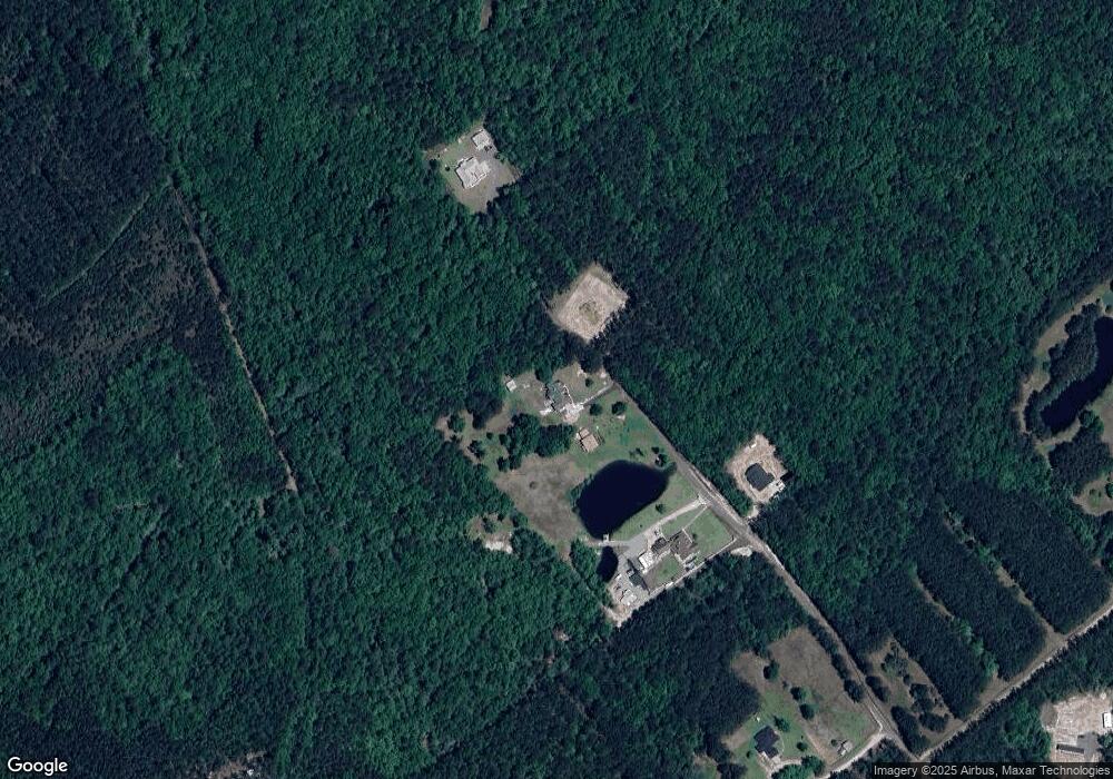
Map
Nearby Homes
- 268 Appaloosa Way
- 1379 Low Ground Rd
- 297 Horsepen Rd
- 115 Indica Place
- 189 Little Horsepen Rd
- 08 Little McCall Rd
- 05 Little McCall Rd
- 06 Little McCall Rd
- 123 Willow Dr
- 102 Timberlake Ln
- 99 Conifer Dr
- 100 Saratoga Dr
- 285 Barrister Cir
- 103 Sweetvine Ln
- 102 Sweetvine Ln
- 106 Sweetvine Ln
- 112 Wisteria Ln
- 128 Aquaduct Dr
- 308 Barrister Cir
- 107 Dailey Dr
- 211 White Branch Dr
- 205 White Branch Dr
- 201 White Branch Dr
- 201 White Branch Dr Unit 2B
- 213 White Branch Dr
- 246 Appaloosa Way
- 284 Appaloosa Way
- 300 Sage Point Dr
- 301 Sage Point Dr
- 278 Sage Point Dr
- 0 Sage Pointe Dr Unit 7288833
- 0 Sage Pointe Dr
- 0 Whie Branch Rd Unit 8385851
- 0 White Branch Rd Unit 187856
- 0 White Branch Rd Unit 7158999
- 0 White Branch Rd Unit 255125
- 0 White Branch Rd Unit 8655485
- 0 White Branch Rd Unit 212208
- 0 White Branch Rd Unit 8475805
- 0 White Branch Rd Unit 198364