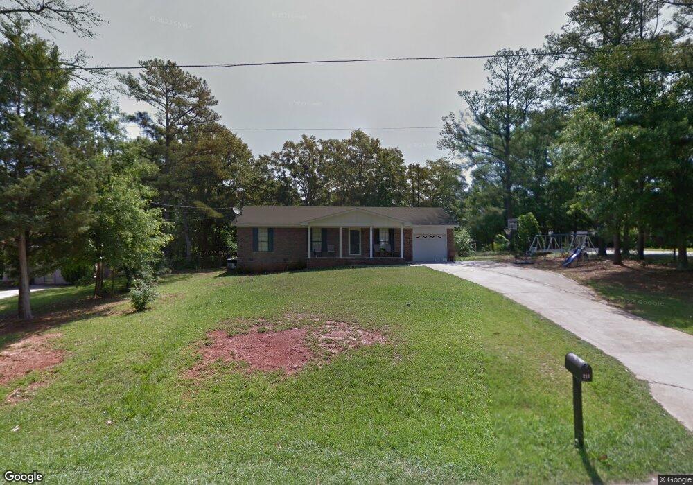
211 Willis Cir Forsyth, GA 31029
Estimated Value: $118,000 - $222,000
--
Bed
2
Baths
1,125
Sq Ft
$139/Sq Ft
Est. Value
About This Home
This home is located at 211 Willis Cir, Forsyth, GA 31029 and is currently estimated at $156,211, approximately $138 per square foot. 211 Willis Cir is a home located in Monroe County with nearby schools including Katherine B. Sutton Elementary School and Mary Persons High School.
Ownership History
Date
Name
Owned For
Owner Type
Purchase Details
Closed on
Jun 9, 2025
Sold by
Lovett Linda H
Bought by
James Reginald
Current Estimated Value
Home Financials for this Owner
Home Financials are based on the most recent Mortgage that was taken out on this home.
Original Mortgage
$107,070
Outstanding Balance
$106,792
Interest Rate
6.76%
Mortgage Type
New Conventional
Estimated Equity
$49,419
Purchase Details
Closed on
Oct 6, 2009
Sold by
Usda Rural Development
Bought by
Lovett Linda H
Purchase Details
Closed on
Oct 29, 1990
Bought by
Alexander Jeanette
Create a Home Valuation Report for This Property
The Home Valuation Report is an in-depth analysis detailing your home's value as well as a comparison with similar homes in the area
Home Values in the Area
Average Home Value in this Area
Purchase History
| Date | Buyer | Sale Price | Title Company |
|---|---|---|---|
| James Reginald | $106,000 | -- | |
| Lovett Linda H | $37,000 | -- | |
| Alexander Jeanette | $5,000 | -- |
Source: Public Records
Mortgage History
| Date | Status | Borrower | Loan Amount |
|---|---|---|---|
| Open | James Reginald | $107,070 |
Source: Public Records
Tax History Compared to Growth
Tax History
| Year | Tax Paid | Tax Assessment Tax Assessment Total Assessment is a certain percentage of the fair market value that is determined by local assessors to be the total taxable value of land and additions on the property. | Land | Improvement |
|---|---|---|---|---|
| 2024 | $868 | $30,840 | $3,120 | $27,720 |
| 2023 | $833 | $26,240 | $3,120 | $23,120 |
| 2022 | $710 | $26,240 | $3,120 | $23,120 |
| 2021 | $735 | $26,240 | $3,120 | $23,120 |
| 2020 | $754 | $26,240 | $3,120 | $23,120 |
| 2019 | $760 | $26,240 | $3,120 | $23,120 |
| 2018 | $762 | $26,240 | $3,120 | $23,120 |
| 2017 | $763 | $26,240 | $3,120 | $23,120 |
| 2016 | $725 | $26,240 | $3,120 | $23,120 |
| 2015 | $687 | $26,240 | $3,120 | $23,120 |
| 2014 | $663 | $26,240 | $3,120 | $23,120 |
Source: Public Records
Map
Nearby Homes
- 24 George St
- 47 Ensign Rd
- 3487 Georgia 42
- 3271 Georgia 42
- 3471 Georgia 42
- 5407 Felles Way Unit 356
- 5399 Felles Way Unit 358
- 5399 Felles Way
- 5393 Felles Way Unit 359
- 5387 Felles Way
- 5387 Felles Way Unit 360
- 4616 Capulet Ct
- 205 Solomon St
- 225 N Indian Springs Dr
- Cypress Plan at Juliette Crossing
- Jackson Plan at Juliette Crossing
- Cannaberra Plan at Juliette Crossing
- Oakwood Plan at Juliette Crossing
- Delilah Plan at Juliette Crossing
- Maple Plan at Juliette Crossing
- 205 Willis Cir
- 214 Willis Cir
- 208 Willis Cir
- 240 Gilmore Rd
- 240 Gilmore Rd
- 224 Willis Cir
- 198 Willis Cir
- 230 Willis Cir
- 234 Willis Cir
- 188 Willis Cir
- 0 Willis Cir Unit 13 7148307
- 0 Willis Cir Unit 59 7148298
- 0 Willis Cir Unit 13 7280590
- 0 Willis Cir Unit 59 7280586
- 30 Willis Cir
- 40 Willis Cir
- 175 Willis Cir
- 246 Willis Cir
- 198 Gilmore Rd
- 59 Willis Cir