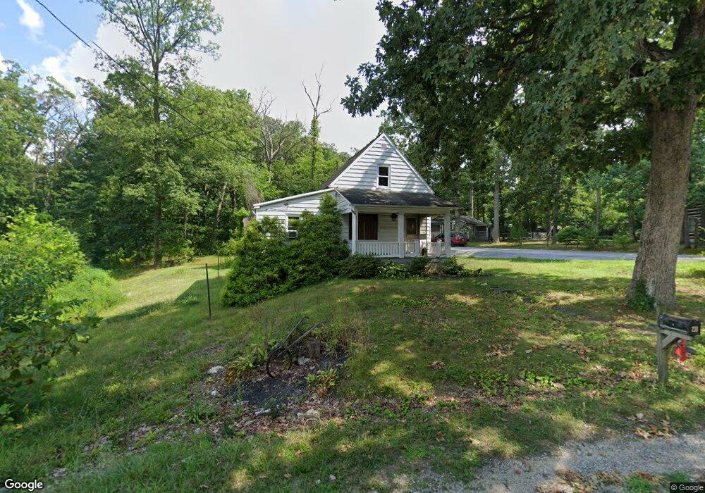
211 Woodside Ave Hanover, PA 17331
Estimated Value: $198,000 - $235,000
3
Beds
1
Bath
1,016
Sq Ft
$207/Sq Ft
Est. Value
About This Home
This home is located at 211 Woodside Ave, Hanover, PA 17331 and is currently estimated at $210,141, approximately $206 per square foot. 211 Woodside Ave is a home located in York County with nearby schools including South Western Senior High School and Delone Catholic High School.
Ownership History
Date
Name
Owned For
Owner Type
Purchase Details
Closed on
Feb 24, 2010
Sold by
Heck Harry A and Heck Donna
Bought by
Heck Hazel Gertrude
Current Estimated Value
Home Financials for this Owner
Home Financials are based on the most recent Mortgage that was taken out on this home.
Original Mortgage
$116,844
Outstanding Balance
$75,046
Interest Rate
4.37%
Mortgage Type
FHA
Estimated Equity
$135,095
Purchase Details
Closed on
Jul 27, 2006
Sold by
Heck Hazel Gertrude
Bought by
Heck Harry A
Create a Home Valuation Report for This Property
The Home Valuation Report is an in-depth analysis detailing your home's value as well as a comparison with similar homes in the area
Home Values in the Area
Average Home Value in this Area
Purchase History
| Date | Buyer | Sale Price | Title Company |
|---|---|---|---|
| Heck Hazel Gertrude | $119,000 | None Available | |
| Heck Harry A | -- | None Available |
Source: Public Records
Mortgage History
| Date | Status | Borrower | Loan Amount |
|---|---|---|---|
| Open | Heck Hazel Gertrude | $116,844 |
Source: Public Records
Tax History Compared to Growth
Tax History
| Year | Tax Paid | Tax Assessment Tax Assessment Total Assessment is a certain percentage of the fair market value that is determined by local assessors to be the total taxable value of land and additions on the property. | Land | Improvement |
|---|---|---|---|---|
| 2025 | $2,921 | $86,690 | $30,380 | $56,310 |
| 2024 | $2,921 | $86,690 | $30,380 | $56,310 |
| 2023 | $2,869 | $86,690 | $30,380 | $56,310 |
| 2022 | $2,808 | $86,690 | $30,380 | $56,310 |
| 2021 | $2,654 | $86,690 | $30,380 | $56,310 |
| 2020 | $2,654 | $86,690 | $30,380 | $56,310 |
| 2019 | $2,603 | $86,690 | $30,380 | $56,310 |
| 2018 | $2,569 | $86,690 | $30,380 | $56,310 |
| 2017 | $2,510 | $86,690 | $30,380 | $56,310 |
| 2016 | $0 | $86,690 | $30,380 | $56,310 |
| 2015 | -- | $86,690 | $30,380 | $56,310 |
| 2014 | -- | $86,690 | $30,380 | $56,310 |
Source: Public Records
Map
Nearby Homes
- 45 Bowman Rd
- 832 Baltimore St
- 0 Baltimore St Unit 16 PAYK2079352
- 400 Wirt Ave
- 37 Coop Ln
- 265 Breezewood Dr
- 208 Overlook Dr
- 103 Overlook Dr
- 2 Astoria Dr
- 501 Charles Ave
- 216 Charles Ave
- 151 Timber Ln
- 582 Baltimore St
- 28 Brookside Ave
- 553 Mcallister St
- 9 Ivy Cir
- 101 Granbury Crossing Unit 129
- 8 Fair Ave
- 533 Baltimore St
- 814 York St
- 217 Woodside Ave
- 215 Woodside Ave
- 219 Woodside Ave
- 454 S Center St
- 455 S Center St
- 231 Woodside Ave
- 452 S Center St
- 210 Woodside Ave
- 155 Bowman Rd
- 230 Woodside Ave
- 154 Bowman Rd
- 20 Forest Ln
- 440 S Center St
- 441 S Center St
- 165 Bowman Rd
- 420 Debbie Ct
- 422 Debbie Ct
- 421 Debbie Ct
- 418 Debbie Ct
- 173 Bowman Rd