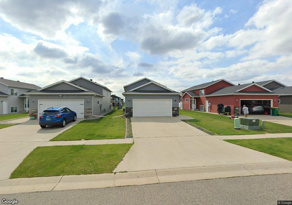
2110 10th St W West Fargo, ND 58078
Brooks Harbor NeighborhoodEstimated Value: $262,000 - $301,677
3
Beds
2
Baths
1,790
Sq Ft
$157/Sq Ft
Est. Value
About This Home
This home is located at 2110 10th St W, West Fargo, ND 58078 and is currently estimated at $281,839, approximately $157 per square foot. 2110 10th St W is a home located in Cass County with nearby schools including Brooks Harbor Elementary School, Liberty Middle School, and West Fargo Sheyenne High School.
Ownership History
Date
Name
Owned For
Owner Type
Purchase Details
Closed on
Jun 30, 2022
Sold by
Hoffmann and Brianna
Bought by
Big Valley Properties 2 Llc
Current Estimated Value
Purchase Details
Closed on
Oct 11, 2017
Sold by
L T D Corporation
Bought by
Hoffmann Alex C
Home Financials for this Owner
Home Financials are based on the most recent Mortgage that was taken out on this home.
Original Mortgage
$186,491
Interest Rate
3.82%
Mortgage Type
New Conventional
Create a Home Valuation Report for This Property
The Home Valuation Report is an in-depth analysis detailing your home's value as well as a comparison with similar homes in the area
Home Values in the Area
Average Home Value in this Area
Purchase History
| Date | Buyer | Sale Price | Title Company |
|---|---|---|---|
| Big Valley Properties 2 Llc | $260,000 | Regency Title | |
| Hoffmann Alex C | $196,307 | Fm Title |
Source: Public Records
Mortgage History
| Date | Status | Borrower | Loan Amount |
|---|---|---|---|
| Previous Owner | Hoffmann Alex C | $186,491 |
Source: Public Records
Tax History Compared to Growth
Tax History
| Year | Tax Paid | Tax Assessment Tax Assessment Total Assessment is a certain percentage of the fair market value that is determined by local assessors to be the total taxable value of land and additions on the property. | Land | Improvement |
|---|---|---|---|---|
| 2024 | $6,038 | $137,500 | $23,700 | $113,800 |
| 2023 | $5,990 | $133,500 | $23,700 | $109,800 |
| 2022 | $5,761 | $121,950 | $23,700 | $98,250 |
| 2021 | $5,595 | $113,700 | $19,350 | $94,350 |
| 2020 | $5,438 | $109,700 | $19,350 | $90,350 |
| 2019 | $3,376 | $30,950 | $19,350 | $11,600 |
| 2018 | $3,383 | $30,100 | $19,350 | $10,750 |
| 2017 | $3,283 | $27,850 | $19,350 | $8,500 |
| 2016 | $1,667 | $2,000 | $2,000 | $0 |
Source: Public Records
Map
Nearby Homes
- 2101 10th St W
- 1029 Highland Ln W
- 2170 Dock Dr
- 2216 10th Ct W
- 1179 Highland Ln W
- 2124 14th St W
- 1234 Highland Ln W
- 1220 Legion Ln W
- 1326 Commander Dr W
- 713 23rd Ave W
- 1127 24th Ave W
- 2427 Harbor Ln
- 2728 Westwood St W
- 2733 Divide St W
- 2737 10th St W
- 2735 11th St W
- 2734 12th St W
- 1264 Marlys Dr W
- 2704 14th St W
- 154 W Beaton Dr
- 2114 10th St W
- 2106 10th St W
- 2118 10th St W
- 2111 Admiral Dr W
- 2107 Admiral Dr W
- 2115 Admiral Dr W
- 2126 10th St W
- 2123 Admiral Dr W
- 2130 10th St W
- 2117 10th St W
- 2109 10th St W
- 2127 Admiral Dr W
- 2113 10th St W
- 2105 10th St W
- 2134 10th St W
- 2121 10th St W
- 2131 Admiral Dr W
- 1001 Highland Ln W
- 2125 10th St W
- 2135 Admiral Dr W