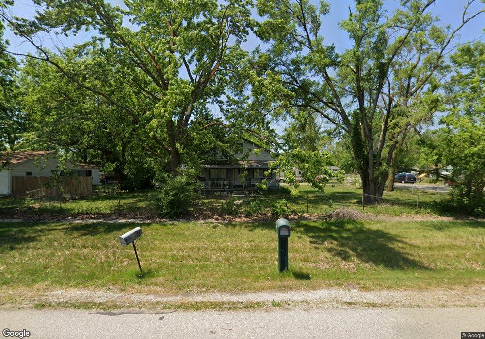
2110 Bomber Ave Ypsilanti, MI 48198
Estimated Value: $139,000 - $213,000
3
Beds
1
Bath
1,170
Sq Ft
$154/Sq Ft
Est. Value
About This Home
This home is located at 2110 Bomber Ave, Ypsilanti, MI 48198 and is currently estimated at $179,769, approximately $153 per square foot. 2110 Bomber Ave is a home located in Washtenaw County with nearby schools including Rawsonville Elementary School, Owen Intermediate School, and McBride Middle School.
Ownership History
Date
Name
Owned For
Owner Type
Purchase Details
Closed on
Oct 15, 2021
Sold by
Swafford Lawrence A and Swafford Douglas R
Bought by
Swafford Larry
Current Estimated Value
Home Financials for this Owner
Home Financials are based on the most recent Mortgage that was taken out on this home.
Original Mortgage
$68,000
Outstanding Balance
$62,010
Interest Rate
2.8%
Mortgage Type
New Conventional
Estimated Equity
$117,759
Purchase Details
Closed on
Mar 6, 2018
Sold by
Swafford Lawrence A
Bought by
Swafford Lawrence A and Swafford Douglas R
Create a Home Valuation Report for This Property
The Home Valuation Report is an in-depth analysis detailing your home's value as well as a comparison with similar homes in the area
Home Values in the Area
Average Home Value in this Area
Purchase History
| Date | Buyer | Sale Price | Title Company |
|---|---|---|---|
| Swafford Larry | $85,000 | Barristers Title | |
| Swafford Lawrence A | -- | None Available |
Source: Public Records
Mortgage History
| Date | Status | Borrower | Loan Amount |
|---|---|---|---|
| Open | Swafford Larry | $68,000 |
Source: Public Records
Tax History Compared to Growth
Tax History
| Year | Tax Paid | Tax Assessment Tax Assessment Total Assessment is a certain percentage of the fair market value that is determined by local assessors to be the total taxable value of land and additions on the property. | Land | Improvement |
|---|---|---|---|---|
| 2025 | -- | $90,000 | $0 | $0 |
| 2024 | $876 | $83,600 | $0 | $0 |
| 2023 | $782 | $77,400 | $0 | $0 |
| 2022 | $706 | $71,100 | $0 | $0 |
| 2021 | $1,128 | $61,700 | $0 | $0 |
| 2020 | $1,128 | $55,100 | $0 | $0 |
| 2019 | $1,128 | $45,300 | $45,300 | $0 |
| 2018 | $0 | $38,800 | $0 | $0 |
| 2017 | $1,667 | $38,500 | $0 | $0 |
| 2016 | $607 | $26,290 | $0 | $0 |
| 2015 | $1,071 | $26,212 | $0 | $0 |
| 2014 | $1,071 | $33,900 | $0 | $0 |
| 2013 | -- | $33,900 | $0 | $0 |
Source: Public Records
Map
Nearby Homes
- 2168 Moeller Ave
- 2726 Brooklyn Dr
- 1823 Cadillac Ave
- 1781 Cadillac Ave
- 0 Rawsonville Rd Unit 23127000
- 1817 Cadillac Ave
- 1818 Mccartney Ave
- 1920 S Pasadena Ave
- 2405 Rawsonville Rd
- 6460 Rawsonville Rd
- 13157 Lake Point Blvd
- 2319 George Ave
- 3208 Grove Rd
- 2215 Harmon Ave
- 1336 Woodglen Ave
- 9701 Harbour Cove Ct Unit 50
- 6151 Rawsonville Rd
- 6191 Rawsonville Rd
- 9601 Bayview Dr Unit 102
- 1744 Grove Rd Unit A-201
- 2124 Bomber Ave
- 2119 Woodale Ave
- 2105 Woodale Ave
- 2098 Bomber Ave
- 2127 Woodale Ave
- 2127 Wood Dale
- 2134 Bomber Ave
- 2113 Bomber Ave
- 2135 Woodale Ave
- 2119 Bomber Ave
- 2099 Bomber Ave
- 2088 Bomber Ave
- 2149 Woodale Ave
- 2123 Bomber Ave
- 2123 Bomber Ave
- 2133 Bomber Ave
- 2085 Bomber Ave
- 2158 Bomber Ave
- 2161 Woodale Ave
- 2083 Woodale Ave